
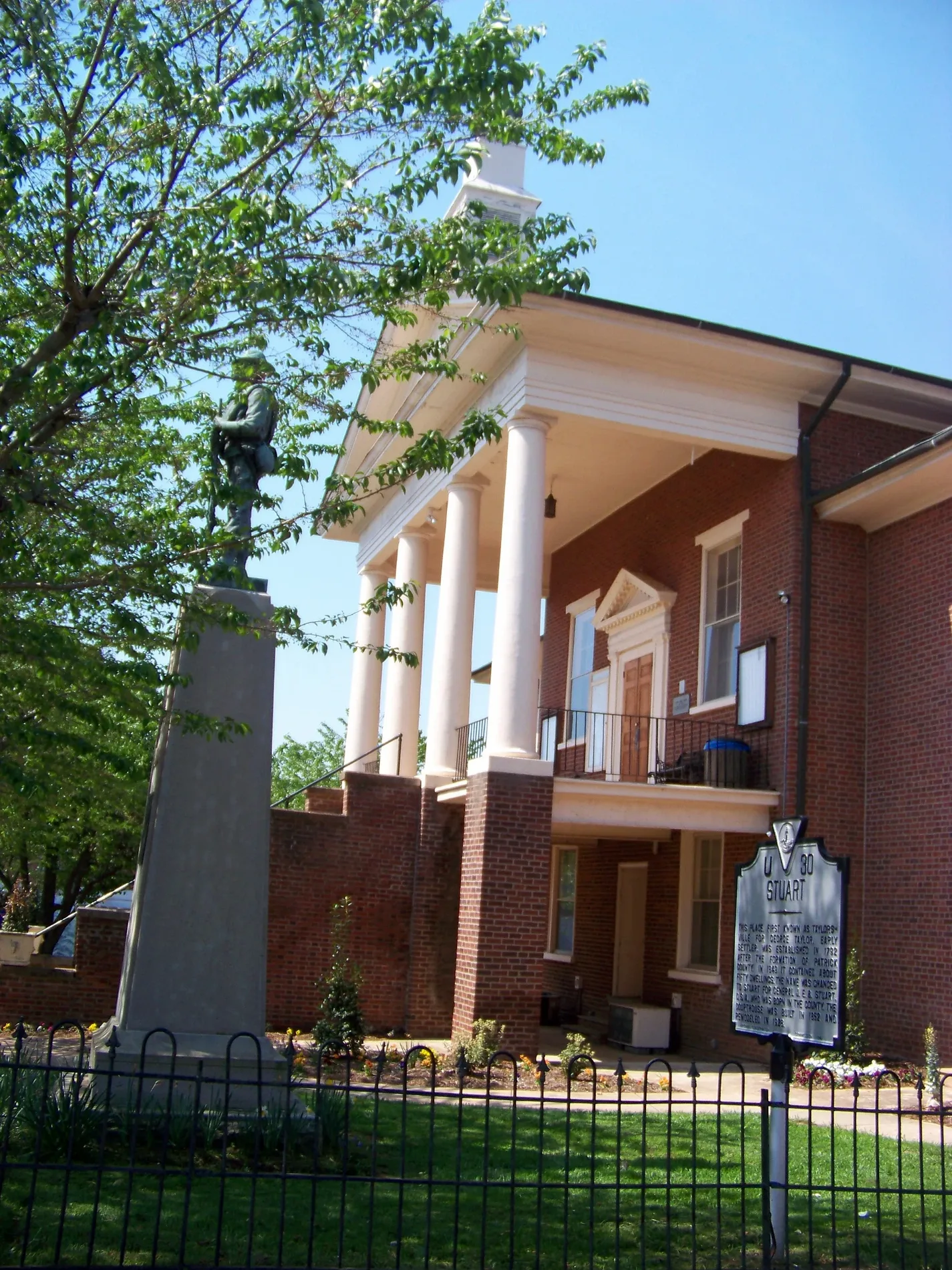
East Blue Ridge Street in Stuart, Virginia
East Blue Ridge Street in Stuart is a two-lane, asphalted main road. It crosses Slate Lane, Glenwood Terrace Loop, Via Avenue, Forest Lane, Chestnut Avenue, Patrick Avenue, Stonewall Court and West Blue Ridge Street and ends at North Main Street and comes from Jeb Stuart Highway. This street is part of the highways 8 and 58. Nearby you can find a place of worship and a bank.
- Road Type
- main road
- Lanes
- 2
- Speed Limit
- 25 mph
Image
Streets nearby
Stonewall CourtTruist
350 ft
Orchard StreetStuart, Stagecoach, El Rancho, The Coffee Break
400 ft
Jay Lane0.1 mi
Slusher Street0.1 mi
Via Avenue0.1 mi
North Main StreetT-Mobile
0.2 mi
Rucker StreetPatrick County Health Clinic
0.2 mi
Branch Lane0.2 mi
Rye Cove Road0.2 mi
Chestnut Avenue0.2 mi
Slate Lane0.3 mi
Loblolly Lane0.3 mi
Patrick AvenueCircle K
0.3 mi
Forest Lane0.3 mi
Buena Vista Avenue0.3 mi
South Main StreetTony's Pizza
0.3 mi
Hill Street0.3 mi
Deerwood Trail0.3 mi
Pannill Drive0.3 mi
Park Street0.3 mi
State Route T-10180.4 mi
West Street0.4 mi
Glenwood Terrace0.4 mi
West Blue Ridge StreetStuart Baptist Church, Patrick County Library, First Horizon Bank
0.4 mi
State Route 8210.4 mi
Performance Drive0.5 mi
Wood Brothers Drive0.5 mi
Hiatt Lane0.5 mi
Commerce Street0.5 mi
Trail Rn0.5 mi
Morrison Lane0.5 mi
Jeb Stuart HighwayFirst Community Bank
0.6 mi
Glenwood Terrace Loop0.6 mi
Landmark Drive0.6 mi
State Route 8340.6 mi
State Route 8880.6 mi
Developmental Road0.6 mi
Buildings nearby
School Board Office0.2 mi
Courthouses nearby
Patrick County Courthouse550 ft
Gas stations nearby
Exxon0.2 mi
Government buildings nearby
Patrick County Emergency Management150 ft
Industrial areas nearby
Narroflex0.5 mi
Hutchens Petroleum0.5 mi
Pharmacies nearby
Walgreens0.5 mi
Post offices nearby
Stuart Post Office450 ft
Rivers nearby
South Mayo River0.4 mi
Streams nearby
Campbell Branch0.6 mi
Town halls nearby
Stuart Town Office0.1 mi
Other nearby
Stuart Substation0.5 mi
 Public transit map Stuart Legend
| Railway | |
| Bus | |
| Streetcar |
 Bicycle map Stuart Legend
| Bike path | |
| Bike lane on roadway | |
| Cycling allowed on bus lane | |
| Bicycle street | |
| Open to cyclists | |
| Open to cyclists, good path | |
| Cycling prohibited | |
| Cobblestone |
| Long-distance bike route | (depending on scale) | |
| Long-distance bike route |
 Pedestrian map Stuart Legend
| Path |
| Long-distance hiking trail | (depending on scale) | |
| Long-distance hiking trail | ||
| Pedestrians prohibited |