
Stuart, Virginia
Stuart is located in Patrick County. About 1,437 people live here. Between 2010 and 2020, the population grew from 1,408 to 1,431. The region is at 410 meters above sea level. The area covers about 8.4 square kilometers. There are about 171 streets in Stuart. The region was founded in 1792. The ZIP codes are 24171. The dialing code is 276. Stuart is town in Virginia, United States. Among other things, Stuart has restaurants, cafés and banks. More information at www.patrickchamber.com.
Stuart – Facts
| Population | 1431 |
|---|---|
| Area | 8.4 km² |
| Year built | 1792 |
| Elevation | 410 m |
| Located in | Patrick County |
| Postal code | 24171 |
| Country | United States |
| Official name | Stuart |
| Website | http://www.patrickchamber.com/ |
Data source: Wikidata (CC0)
Photos from Stuart
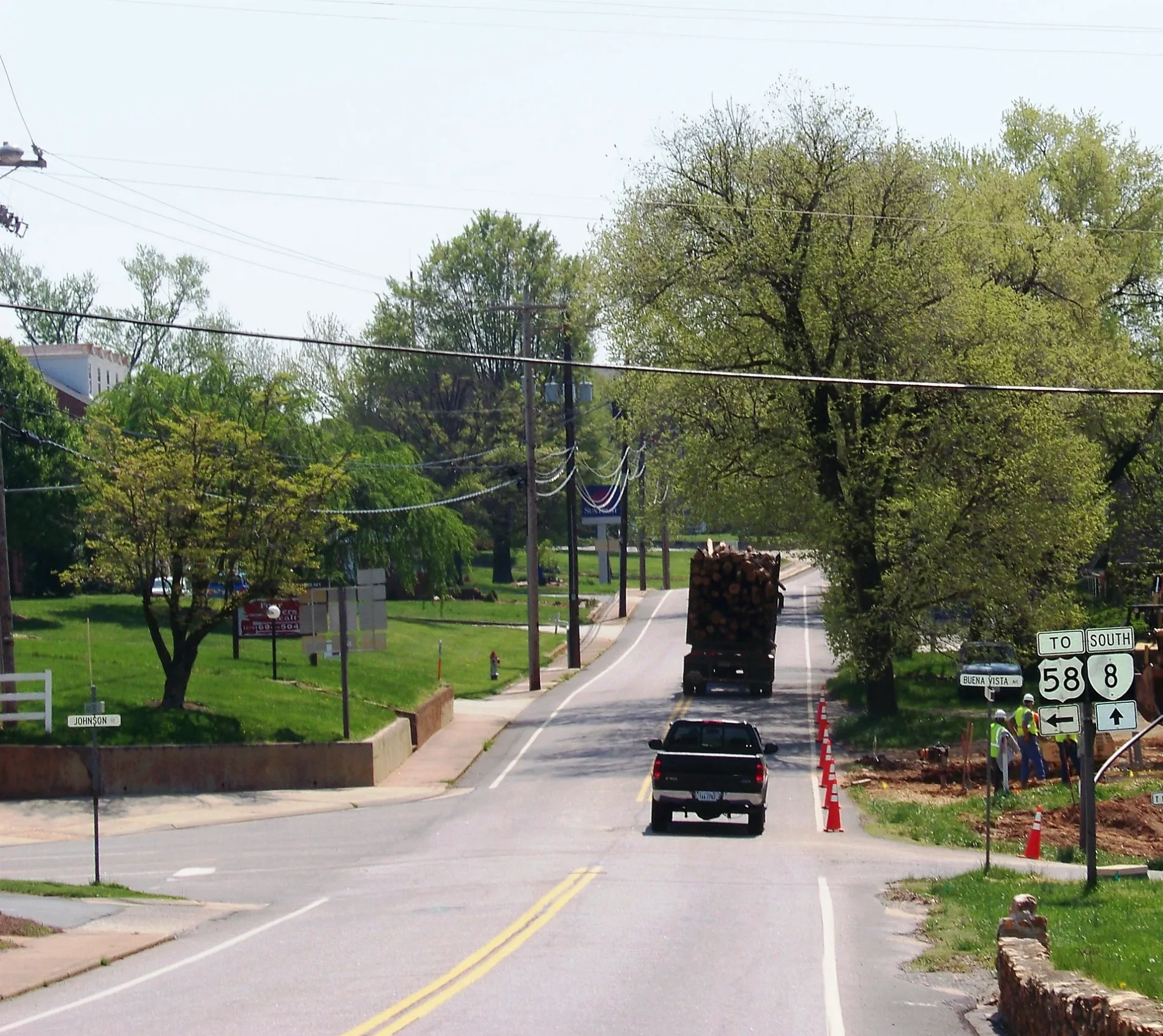
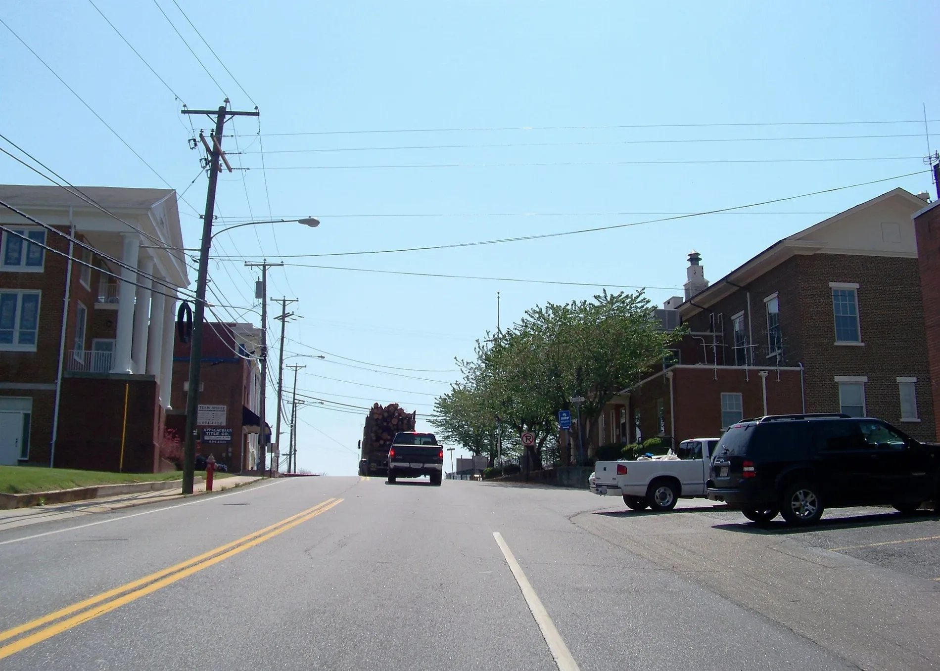
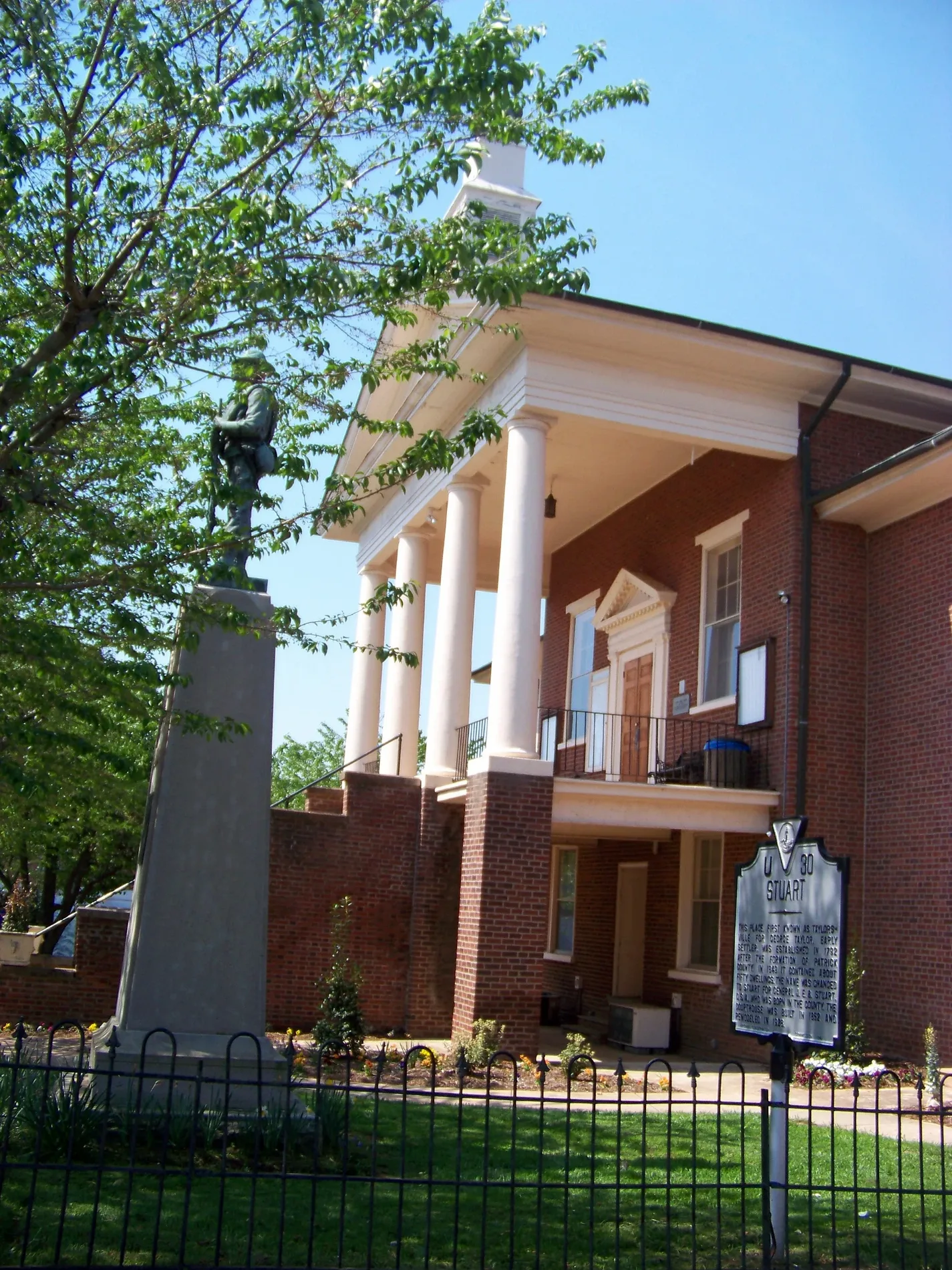
Streets in Stuart, Virginia
Streets
Orchard Street
Stuart, Stagecoach, El Rancho, The Coffee Break
West Blue Ridge StreetStuart Baptist Church, Patrick County Library, First Horizon Bank
East Blue Ridge StreetStuart Church of Living Water, Carter Bank & Trust
Patrick AvenueCircle K
Rucker StreetPatrick County Health Clinic
Jeb Stuart HighwayFirst Community Bank
Johnson StreetMount Calvary Church
Stonewall CourtTruist
North Main StreetT-Mobile
South Main StreetTony's Pizza
Laurel Court
Staples Avenue
Ashby Drive
State Route 888
West Street
Developmental Road
Dallas Lyons Lane
Akers Drive
Trail Rn
Performance Drive
Carters View Court (private)
Yellow Brick Road
Slusher Street
Dobyns Road
Mayo Court
Houchins Court
West End Lane
Forest Lane
Deerwood Trail
Landmark Drive
Commerce Street
Wood Brothers Drive
Rhody Creek Loop
State Route T-1020
Oak Street
Mount View Summit
Oakhurst Drive
Glenwood Terrace Loop
State Route T-1018
Rye Cove Road
Pannill Drive
Pine Street
Chestnut Avenue
State Route 642
State Route 821
Hiatt Lane
Sunset Drive
Branch Lane
Frankie Lane
Park Street
Via Avenue
Business Park Road
Oakhurst Road
State Route T-642
Depot Road
Hillcrest Street
Mountain View Heights
Hill Street
Loblolly Lane
Mayo River Rail Trail
Adams Lane
Woodland Drive
Jay Lane
Glenwood TerraceAuto parts stores
Buildings
Courthouses
Government buildings
Industrial areas
Supermarkets
Town halls
Variety stores
Other
Public transit map Stuart Legend
| Railway | |
| Bus | |
| Streetcar |
Bicycle map Stuart Legend
| Bike path | |
| Bike lane on roadway | |
| Cycling allowed on bus lane | |
| Bicycle street | |
| Open to cyclists | |
| Open to cyclists, good path | |
| Cycling prohibited | |
| Cobblestone |
| Long-distance bike route | (depending on scale) | |
| Long-distance bike route |
Pedestrian map Stuart Legend
| Path |
| Long-distance hiking trail | (depending on scale) | |
| Long-distance hiking trail | ||
| Pedestrians prohibited |