
Mount View Summit in Stuart, Virginia
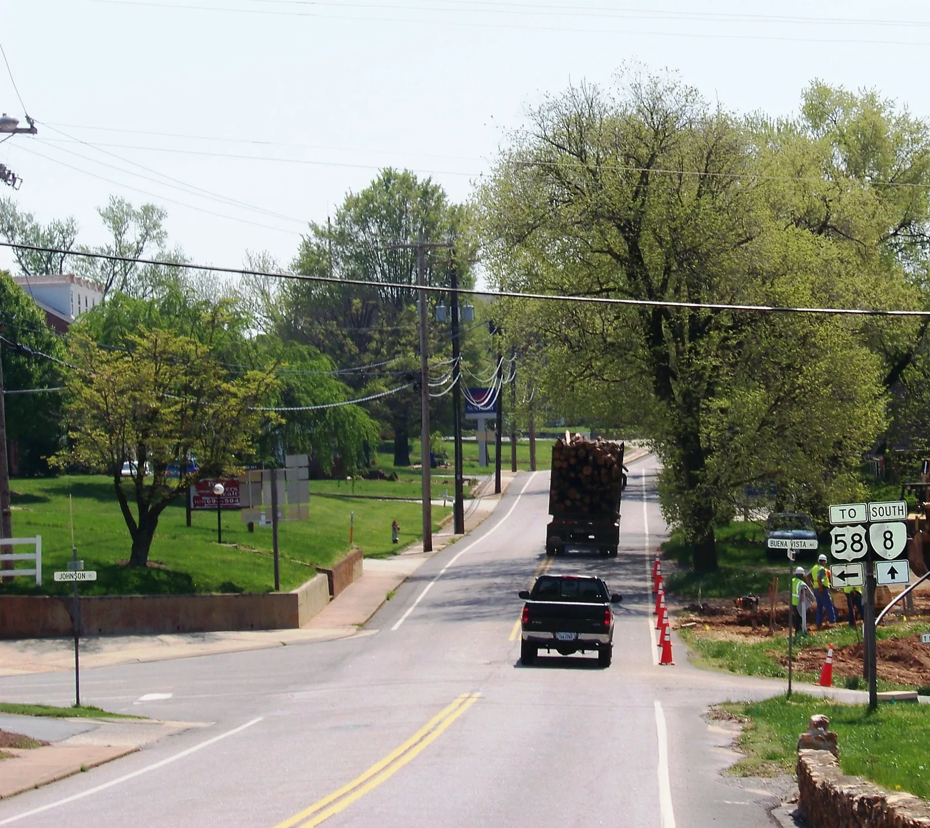
Mount View Summit in Stuart is a residential street (Road number SR 1005). It runs in a northeast-southwest direction and ends at Mountain View Heights, while the other end is a cul-de-sac.
- Road Type
- residential street
- Route
- northeast-southwest
Image
Places of worship
Cafes
Hospitals
Banks
Fire stations
Clinics
Convenience stores
Restaurants
Libraries
Cell phone stores
Fast food restaurants
Streets nearby
Mountain View Heights0.1 mi
West Street0.2 mi
State Route T-10180.2 mi
West End Lane0.2 mi
Laurel Court0.3 mi
Wood Brothers Drive0.3 mi
West Blue Ridge StreetStuart Baptist Church, Patrick County Library, First Horizon Bank
0.3 mi
Performance Drive0.3 mi
Park Street0.3 mi
Johnson StreetMount Calvary Church
0.4 mi
Sunset Drive0.4 mi
Oakhurst Road0.4 mi
Rye Cove Road0.4 mi
Rucker StreetPatrick County Health Clinic
0.4 mi
Houchins Court0.4 mi
Adams Lane0.4 mi
Staples Avenue0.4 mi
Buena Vista Avenue0.4 mi
Hillcrest Street0.4 mi
Frankie Lane0.4 mi
Slusher Street0.4 mi
Oak Street0.5 mi
Jeb Stuart HighwayFirst Community Bank
0.5 mi
State Route 7430.5 mi
Stonewall CourtTruist
0.5 mi
North Main StreetT-Mobile
0.5 mi
Mayo Court0.5 mi
Pine Street0.5 mi
Orchard StreetStuart, Stagecoach, El Rancho, The Coffee Break
0.5 mi
State Route T-6420.6 mi
East Blue Ridge StreetStuart Church of Living Water, Carter Bank & Trust
0.6 mi
State Route 6420.6 mi
Business Park Road0.6 mi
Hiatt Lane0.6 mi
Jay Lane0.6 mi
Oakhurst Drive0.6 mi
Akers Drive0.6 mi
Mayo Bridge Lane0.6 mi
Dobyns Road0.6 mi
Branch Lane0.7 mi
Patrick AvenueCircle K
0.7 mi
Pullins Lane0.8 mi
Buildings nearby
School Board Office0.4 mi
Courthouses nearby
Patrick County Courthouse0.5 mi
Government buildings nearby
Patrick County Emergency Management0.6 mi
Industrial areas nearby
Hutchens Petroleum0.5 mi
Post offices nearby
Stuart Post Office0.5 mi
Streams nearby
North Fork Poor House Creek0.4 mi
Campbell Branch0.5 mi
Public transit map Stuart Legend
| Railway | |
| Bus | |
| Streetcar |
Bicycle map Stuart Legend
| Bike path | |
| Bike lane on roadway | |
| Cycling allowed on bus lane | |
| Bicycle street | |
| Open to cyclists | |
| Open to cyclists, good path | |
| Cycling prohibited | |
| Cobblestone |
| Long-distance bike route | (depending on scale) | |
| Long-distance bike route |
Pedestrian map Stuart Legend
| Path |
| Long-distance hiking trail | (depending on scale) | |
| Long-distance hiking trail | ||
| Pedestrians prohibited |