
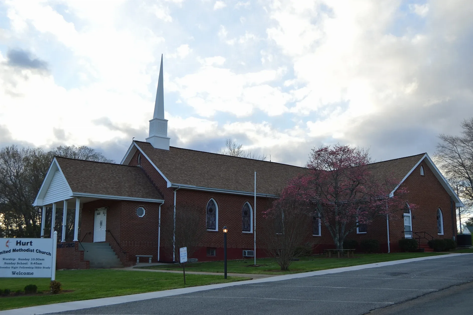
East Hurt Road in Hurt, Virginia
East Hurt Road in Hurt is a local road. It runs in an east-west direction starting from West Hurt Road and crosses Prospect Road, Knollwood Drive and Darrell Lane and ends at Ricky Van Shelton Drive. This street is part of the highway "924".
- Road Type
- local road
- Route
- east-west
Image
Tourist information centers
Police stations
Streets nearby
Knollwood Drive0.2 mi
Darrell LanePine Ridge
0.2 mi
Staunton River Boat Launch0.3 mi
Pittsylvania AvenueVirginia Lottery
0.3 mi
Ricky Van Shelton Drive0.3 mi
Main StreetL32 Clement Hill
0.4 mi
Vista View Lane0.4 mi
3rd StreetLittle Free Library, LOVE
0.4 mi
Riverview Road0.4 mi
Ramp Road0.4 mi
Gateway ParkGateway Park
0.4 mi
Eagle Trail0.4 mi
English Alley0.5 mi
West Hurt RoadSugar Hill
0.5 mi
Dogwood Lane0.5 mi
Broad StreetDowntown Historic District, Vital Edge Nutritional Center, Solutions, Village Barber Shop, Miami Vibes, Broad & 11th, Broad & 10th
0.5 mi
Washington Street0.5 mi
Campbell Avenue0.5 mi
Ridge Street0.5 mi
Shops nearby
Altavista Online0.4 mi
I Love NY Pizza0.5 mi
Banks nearby
First National Bank0.5 mi
Buildings nearby
Staunton River Baptist Association0.5 mi
Smith Building Mercantile0.5 mi
Spark Innovation Center0.5 mi
Community centers nearby
Booker Building0.4 mi
Convenience stores nearby
Apple Market0.4 mi
Marathon0.5 mi
Copy shops nearby
MidAtlantic Printers0.4 mi
Dentist's offices nearby
Dr. C. M. West, Dentist0.5 mi
Fast food restaurants nearby
Broad Street Deli0.4 mi
McDonald's0.4 mi
Fire stations nearby
Manpower0.5 mi
Florists nearby
Steve's Florist0.5 mi
Gardens nearby
Butterfly Garden0.3 mi
Hair salons nearby
Mint & Honey0.5 mi
Hardware stores nearby
Hailey's Appliance0.5 mi
Jewelry stores nearby
Miller's Jewelry0.5 mi
Opticians nearby
Harman Eye Center0.5 mi
Orchards nearby
Riverview Orchard0.3 mi
Parks nearby
English Park0.3 mi
Places of worship nearby
Central Baptist Church0.5 mi
Post offices nearby
Altavista Post Office0.5 mi
Railways nearby
Altavista District0.4 mi
NS Danville District0.5 mi
Residential areas nearby
Commonwealth Mobile Home Park0.5 mi
Restaurants nearby
Peace of Pie0.5 mi
Rivers nearby
Staunton River / Roanoke River0.3 mi
Other nearby
Founder's Square0.5 mi
 Public transit map Hurt Legend
| Railway | |
| Bus | |
| Streetcar |
 Bicycle map Hurt Legend
| Bike path | |
| Bike lane on roadway | |
| Cycling allowed on bus lane | |
| Bicycle street | |
| Open to cyclists | |
| Open to cyclists, good path | |
| Cycling prohibited | |
| Cobblestone |
| Long-distance bike route | (depending on scale) | |
| Long-distance bike route |
 Pedestrian map Hurt Legend
| Path |
| Long-distance hiking trail | (depending on scale) | |
| Long-distance hiking trail | ||
| Pedestrians prohibited |