
Grant Street in Richmond, Virginia
Grant Street in Richmond is an asphalted, lit residential street. It runs in a southeast-northwest direction starting from McCloy Street and crosses South Belmont Avenue, Huxley Street, Walpole Street and South Sheppard Street and ends at Blanton Avenue. Grant Street also exists in Chesapeake, Smyth County, Southampton County, Galax and Danville.
- Road Type
- residential street
- Speed Limit
- 25 mph
- Route
- southeast-northwest
Image
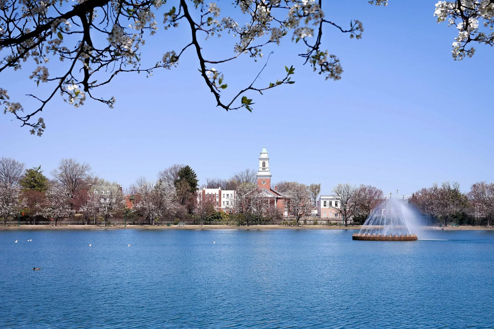
Public bookcases
Artworks
Tailor shops
Beauty salons
Bus stops
Outdoor stores
Restaurants
Cannabis dispensaries
Toy stores
Music stores
Bookstores
Clothing stores
Hair salons
Ice cream shops
Cafes
Tea shops
Interior decorators
Streets nearby
Blanton Avenue200 ft
French Street0.1 mi
Walpole Street0.1 mi
South Arthur Ashe Boulevard0.1 mi
Condie Street0.1 mi
Rueger Street0.2 mi
Maplewood AvenueStadium, Little Free Library
0.2 mi
South Belmont AvenueCarytown Sound, Birch Salon
0.2 mi
Douglasdale RoadLittle Free Library
0.2 mi
Huxley Street0.2 mi
VITA Course0.2 mi
South Sheppard StreetArt Tailors, Tiny Vegan
0.2 mi
Police Memorial Way0.2 mi
Garrett Street0.3 mi
Strollers Lane0.3 mi
Carillon Court0.3 mi
Paddle Boat Lane0.3 mi
McCloy StreetGinger Thai Taste
0.3 mi
Lakeview Avenue0.3 mi
Rugby Road0.3 mi
Westover Road0.3 mi
Grantland Drive0.3 mi
Boat Lake DriveChristopher Columbus
0.3 mi
Sunset Avenue0.3 mi
Grayland AvenueBirdhouse Farmers Market
0.3 mi
Park Drive0.3 mi
Idlewood AvenueFine Food Market, Raleigh E. Colston's Grave, George Edward Pickett's Grave, Park Guardian I
0.4 mi
Parkwood Avenue0.4 mi
South Colonial AvenueCoppola's Deli, Sen Organic Market, Stylist Studio, Sen Organic Flowers
0.4 mi
South Robinson Street0.4 mi
Swan Lake Drive0.4 mi
Downtown ExpresswayRMTA Downtown Express Way 2nd St, 9th + Byrd
0.4 mi
South Davis Avenue0.4 mi
Brandon Lane0.4 mi
Buildings nearby
City of Richmond Potable Water Reservoir0.1 mi
Craig S. Cooley, P.L.C.0.3 mi
Sigma Phi Epsilon Fraternity0.3 mi
Round House0.3 mi
Gardens nearby
Trees of Hope0.4 mi
Government buildings nearby
Blanton House100 ft
Office buildings nearby
International Association of Ministers' Wives and Ministers' Widows0.3 mi
Places of worship nearby
Unity of Richmond450 ft
First Unitarian Universalist Church0.2 mi
Riverview Baptist Church0.3 mi
Playgrounds nearby
Grayland Tot Lot0.3 mi
Residential areas nearby
Fountain Lake Condominiums0.4 mi
Restroom buildings nearby
The Landing at Fountain Lake0.2 mi
Stadiums nearby
City Stadium0.3 mi
Waters nearby
Boat Lake0.3 mi
 Public transit map Richmond Legend
 | Railway | |
| Bus | |
| Streetcar |
 Bicycle map Richmond Legend
 | Bike path | |
| Bike lane on roadway | |
| Cycling allowed on bus lane | |
| Bicycle street | |
| Open to cyclists | |
| Open to cyclists, good path | |
| Cycling prohibited | |
| Cobblestone |
| Long-distance bike route | (depending on scale) | |
| Long-distance bike route |
 Pedestrian map Richmond Legend
 | Path |
| Long-distance hiking trail | (depending on scale) | |
| Long-distance hiking trail | ||
| Pedestrians prohibited |