
Police Memorial Way in Richmond, Virginia
Police Memorial Way in Richmond is a single-lane, asphalted, lit residential street. The street has parking available (parallel parking, Free parking) as well as a width of 7.5. It runs in an east-west direction and crosses Blanton Avenue, Condie Street, Lakeview Avenue, Spottswood Road, Swan Lake Drive and Westover Road. It ends in a cul-de-sac.
- Road Type
- residential street
- Lanes
- 1
- Route
- east-west
Image
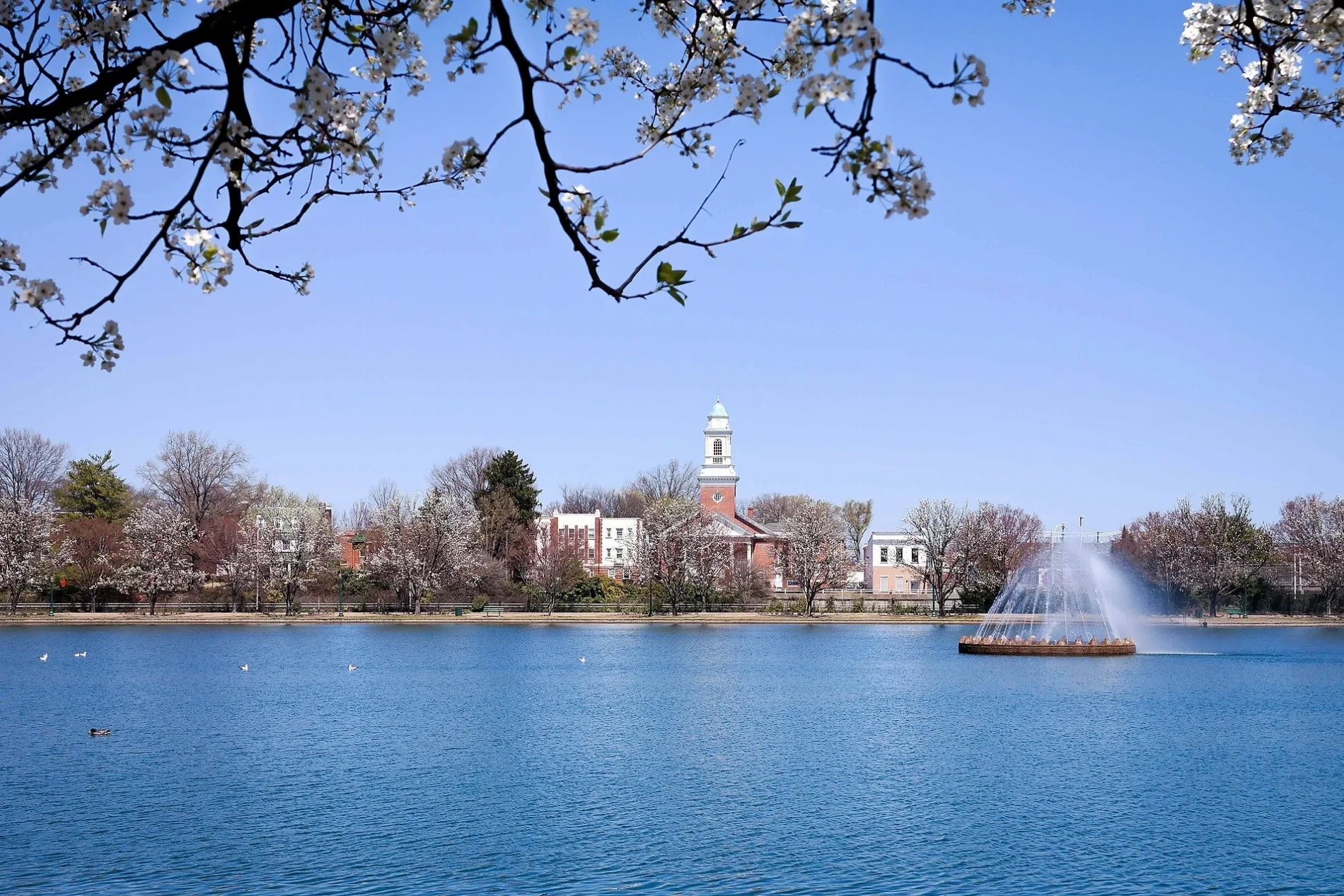
Public bookcases
Arts centers
Zoos
Furniture stores
Restaurants
Convenience stores
Artworks
Bike shops
Paint stores
Hair salons
Beauty salons
Bus stops
Tea shops
Streets nearby
VITA Course100 ft
Strollers Lane500 ft
Grant Street0.1 mi
Brandon Lane0.2 mi
Shields Lake Drive0.2 mi
Boat Lake DriveChristopher Columbus
0.2 mi
South Arthur Ashe Boulevard0.2 mi
Condie Street0.2 mi
Park Drive0.2 mi
Westover Road0.3 mi
Berkley Lane0.3 mi
South Robinson Street0.3 mi
Shields Lake Court0.3 mi
Paddle Boat Lane0.3 mi
South Davis Avenue0.3 mi
Swan Lake Drive0.3 mi
South Stafford AvenueSmoke & Barrel, Brickwood Barbecue
0.3 mi
Grayland AvenueBirdhouse Farmers Market
0.3 mi
Spottswood Road0.4 mi
South Addison StreetPearl Raw Bar, Fan Noodle Bar, Addison Handmade & Vintage
0.4 mi
Rosewood Avenue0.4 mi
Shirley Lane0.4 mi
Idlewood AvenueFine Food Market, Raleigh E. Colston's Grave, George Edward Pickett's Grave, Park Guardian I
0.4 mi
Lake Road0.4 mi
Walker Street0.4 mi
Maplewood AvenueLittle Free Library, Stadium
0.4 mi
Byrd Park Court0.4 mi
Shields Avenue0.4 mi
Amelia Street0.4 mi
Polly Ann's Alley0.4 mi
Lakeview Avenue0.4 mi
Gilbert Street0.4 mi
South Meadow StreetFu Jian, The Annex, Caryplace Hair Studio
0.5 mi
Powhatan Street0.5 mi
Appomattox Street0.5 mi
Georgia Avenue0.5 mi
Hampton Street0.6 mi
Colorado Avenue0.6 mi
Buildings nearby
Round House0.1 mi
City of Richmond Potable Water Reservoir0.2 mi
Byrd Park Field Office0.2 mi
Gardens nearby
Trees of Hope0.2 mi
Office buildings nearby
International Association of Ministers' Wives and Ministers' Widows0.2 mi
Places of worship nearby
Sixth Baptist Church0.4 mi
Residential areas nearby
Fountain Lake Condominiums0.2 mi
Residential buildings nearby
The Virginia Home0.4 mi
Restroom buildings nearby
The Landing at Fountain Lake0.2 mi
Waters nearby
Boat Lake0.3 mi
Shields Lake0.3 mi
 Public transit map Richmond Legend
| Railway | |
| Bus | |
| Streetcar |
 Bicycle map Richmond Legend
| Bike path | |
| Bike lane on roadway | |
| Cycling allowed on bus lane | |
| Bicycle street | |
| Open to cyclists | |
| Open to cyclists, good path | |
| Cycling prohibited | |
| Cobblestone |
| Long-distance bike route | (depending on scale) | |
| Long-distance bike route |
 Pedestrian map Richmond Legend
| Path |
| Long-distance hiking trail | (depending on scale) | |
| Long-distance hiking trail | ||
| Pedestrians prohibited |