
Dundass Avenue in Buckley, Washington
Dundass Avenue in Buckley is a residential street. It runs in an east-west direction starting from Naches Street and crosses 2nd Street, 3rd Street, North 3rd Street, 4th Street, North 4th Street, Cascade Street, Ewing Street and No Edith and ends at Pioneer Street.
- Road Type
- residential street
- Speed Limit
- 25 mph
- Route
- east-west
Image
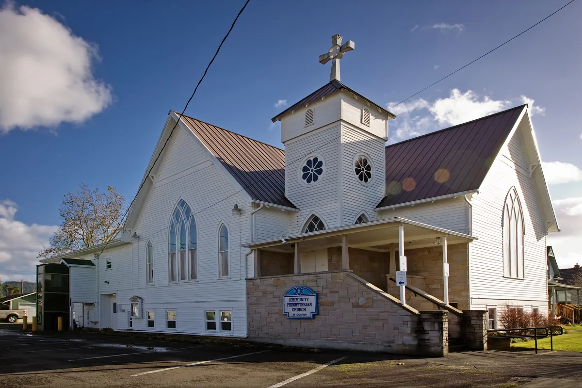
Motels
Social facilities
Community centers
Ice cream shops
Pharmacies
Gift shops
Attractions
Tourist information centers
Bars
Cafes
Event venues
Banks
Clinics
Museums
Restaurants
Hair salons
Streets nearby
North 4th Street50 ft
Cascade Street350 ft
North 3rd Street0.1 mi
North Cascade Street0.1 mi
Ewing Street0.1 mi
No Edith0.1 mi
Pioneer Street0.1 mi
State Route 410 EastFoothills Veterinary, Sunshine Mart, 76, Blue Max Meats, Bootleggers Bar & Grill, Chevron, Rainier Fresh, Espresso, Hacienda Mexican Restaurant, Sticks & Stones, Blue Rooster, Arcadia Micro Venue
0.1 mi
2nd Street0.2 mi
Balm Avenue0.2 mi
4th StreetGravity Coffee Co.
0.2 mi
South T P Road0.2 mi
Naches Street0.2 mi
Ammon Street0.2 mi
West Mason Avenue0.2 mi
South 4th Street0.2 mi
Meadowbrook Park0.2 mi
3rd Street0.2 mi
Park Place Manor0.2 mi
Perkins Street0.2 mi
Edith Street0.2 mi
North River RoadFoothills Historical Society, Living & Working In The Woods, Forest Sentinels
0.2 mi
4th Avenue0.2 mi
South Cedar Street0.2 mi
Main StreetChuck's Drug, Buckley Inn, Shear Magic Salon, Crossroads Coffee House, Mezcal Family Restaurant & Lounge, Rainier Natural Health Clinic, Brix-Main Celebration Spae
0.2 mi
Pearl Avenue0.2 mi
River AvenueUnion Bank
0.2 mi
Pearl Street0.2 mi
Foothills TrailBuckley Hall, Buckley Kiwanis Food Bank, Crossing The Plateau, Vulcan Yarder Or Steam Donkey, Welcome To Buckley, Buckley Log Show, Foothills Rails-to-Trails Coalition, Dr. Douglas A. "Doc" Tait, A Living Land, Buckley, The Early Years
0.2 mi
Norma Street0.3 mi
Rosewood Court South0.3 mi
Rosewood Drive0.3 mi
Shops nearby
Buckley Feed & Farm Supply0.2 mi
Ebon Screen Printing & Graphic Design0.2 mi
The Queen's Ransom0.2 mi
Buildings nearby
Bunkhouse0.2 mi
Trolson Professional Building0.2 mi
Saw Shop0.2 mi
Lookout Tower0.2 mi
Cabins nearby
Historic Ranger Station0.2 mi
Cafes nearby
BigFoot Java0.1 mi
Community centers nearby
Odd Fellows Hall0.2 mi
Hair salons nearby
Salon 7900.2 mi
Industrial areas nearby
Buckley City Shops0.3 mi
Buckley Wastewater Plant0.3 mi
Libraries nearby
Buckley Library0.2 mi
Liquor stores nearby
Buckley Liquour & Groceries0.2 mi
Post offices nearby
United States Post Office0.2 mi
Sports fields nearby
Buckley Skateboard Park0.3 mi
 Public transit map Buckley Legend
| Railway | |
| Bus | |
| Streetcar |
 Bicycle map Buckley Legend
| Bike path | |
| Bike lane on roadway | |
| Cycling allowed on bus lane | |
| Bicycle street | |
| Open to cyclists | |
| Open to cyclists, good path | |
| Cycling prohibited | |
| Cobblestone |
| Long-distance bike route | (depending on scale) | |
| Long-distance bike route |
 Pedestrian map Buckley Legend
| Path |
| Long-distance hiking trail | (depending on scale) | |
| Long-distance hiking trail | ||
| Pedestrians prohibited |