
Victoria Court in Sumas, Washington
Victoria Court in Sumas is an asphalted residential street. It runs in a southeast-northwest direction and crosses Barker Avenue and ends at West Garfield Street, while the other end is a cul-de-sac.
- Road Type
- residential street
- Route
- southeast-northwest
Image
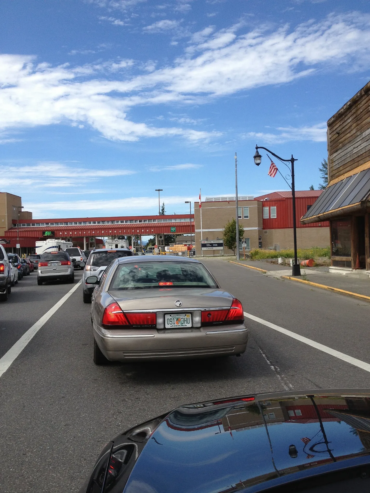
Restaurants
Bus stops
Streets nearby
Barker Avenue150 ft
West Garfield Street450 ft
Johnson Street500 ft
Railroad Street0.1 mi
West 1st Street0.1 mi
Harrison AvenuePort of Entry - Sumas, Sumas Truck Border Crossing
0.1 mi
West Cleveland Street0.2 mi
Cherry StreetBob's Burgers & Brew, Sumas Mountain Lodge, Cherry St at Vancouver St, Cherry St at 1st St, Pic It Up
0.2 mi
West 2nd StreetWOW Hair Salon
0.2 mi
Cleveland Street0.2 mi
NEXUS ONLYPort of Entry - Sumas
0.2 mi
West 3rd Street0.2 mi
Arthur's Way0.2 mi
Bob Mitchell Avenue0.2 mi
Washington Avenue0.2 mi
Locust Street0.2 mi
1st Street0.2 mi
Garfield StreetSumas
0.2 mi
Railway Avenue0.2 mi
1st AvenueABBOTSFORD-HUNTINGTON (817) Commercial Border Crossing
0.2 mi
Sumas WayValley Farm Life Mid 1900's, Sumas at Vye (SB), Bakerview EcoDairy, EcoDairy ABB Fast-Charge, Great Glasses Abbotsford, Starbucks, Tim Hortons, Wendy's, PetSmart, Sumas 1250 Block (SB)
0.3 mi
Van Street0.3 mi
Auto parts stores nearby
NAPA Auto Parts0.2 mi
Buildings nearby
US Customs0.2 mi
Canada Border Services Agency0.2 mi
Cafes nearby
Loca Mocha0.3 mi
Commercial buildings nearby
Sumas Professional Building0.2 mi
Convenience stores nearby
Speedway Express0.2 mi
Super Gas0.2 mi
Sumas Fuel and Pantry0.2 mi
Cherry Street Market0.3 mi
Covered areas nearby
Secondary Inspection0.2 mi
Primary Inspection0.2 mi
Gas stations nearby
Speedway0.2 mi
Tank N Tote0.2 mi
Gas for Less0.3 mi
Industrial areas nearby
Teal Jones Sumas0.3 mi
Motels nearby
B & B Border Inn0.2 mi
Office buildings nearby
Pacific Customs Brokers Ltd.0.3 mi
Pacific Customs Brokers Ltd0.3 mi
Post offices nearby
Sumas Post Office0.2 mi
Package Express0.2 mi
Letterlock0.3 mi
Railways nearby
BNSF Sumas Subdivision0.1 mi
BNSF0.1 mi
Burlington Northern Santa Fe R0.2 mi
Southern Railway of British Columbia0.3 mi
Restaurants nearby
El Nopal0.2 mi
Retail buildings nearby
Abbotsford Duty Free0.2 mi
 Public transit map Sumas Legend
| Railway | |
| Bus | |
| Streetcar |
 Bicycle map Sumas Legend
| Bike path | |
| Bike lane on roadway | |
| Cycling allowed on bus lane | |
| Bicycle street | |
| Open to cyclists | |
| Open to cyclists, good path | |
| Cycling prohibited | |
| Cobblestone |
| Long-distance bike route | (depending on scale) | |
| Long-distance bike route |
 Pedestrian map Sumas Legend
| Path |
| Long-distance hiking trail | (depending on scale) | |
| Long-distance hiking trail | ||
| Pedestrians prohibited |