
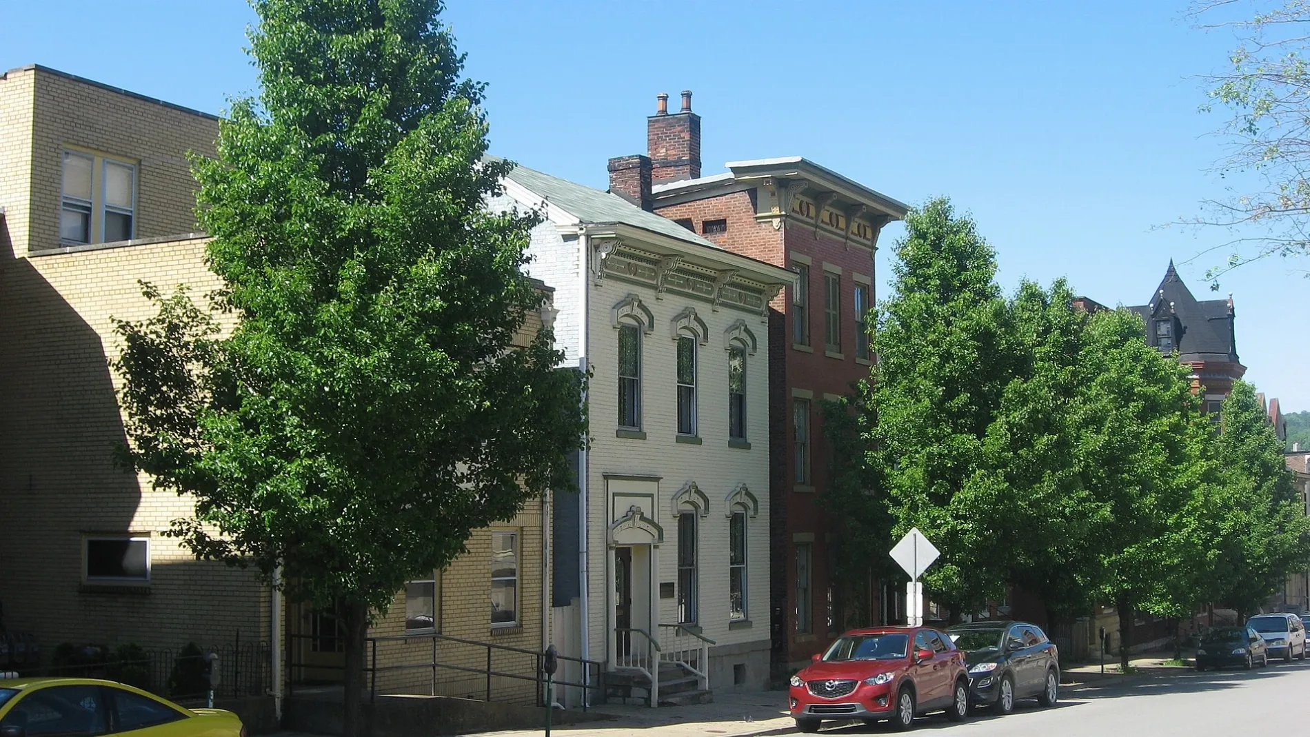
16th Street in Wheeling, West Virginia
16th Street in Wheeling is a two-lane main road (Road number WV 2). It runs in an east-west direction starting from South Street and crosses Lane B, Market Street, Lane C, Chapline Street, Lane D, Eoff Street, Lane E, Jacob Street and Lane F. This street is part of the highway "2". Nearby you can find among others a place of worship and an artwork. 16th Street also exists in McMechen and Benwood.
- Road Type
- main road
- Lanes
- 2
- Route
- east-west
Image
Streets nearby
17th StreetCentral Fire Station
400 ft
Lane DSaint Matthews Episcopal Church, Ohio County Courthouse, Wheeling City Hall, Wheeling Middle School
400 ft
15th Street500 ft
Lane ELiberty Christian Church, Upper Benwood, Trinity Evangelical Lutheran Church
0.1 mi
Eoff StreetSaint Ladislaus Roman Catholic Church, Our Lady of Lebanon School, Ohio County Jail
0.1 mi
Jacob Street0.2 mi
Lane 110.2 mi
Lane 90.2 mi
Byron Street0.2 mi
18th StreetLaughlin Memorial Chapel, Saint Anthony Roman Catholic Church
0.2 mi
13th Street0.2 mi
Lane 13East Wheeling Historic District
0.2 mi
Lane FThird Presbyterian Church
0.2 mi
Lane 14Visiting Angels
0.2 mi
Lane 160.2 mi
12th StreetMonroe Street East Historic District, Studio 66, Elle & Jack's, Nail City Records, Vagabond Kitchen
0.3 mi
Lane 80.3 mi
4th StreetBethlehem Apostolic Church
0.3 mi
Amenities nearby
King's Daughters Childcare Center0.3 mi
Apartment buildings nearby
Alice Apartments0.1 mi
Art galleries nearby
Clientele Art Studio0.1 mi
Buildings nearby
Donald J. Tennant Jr Attorney at Law500 ft
McCoy Wealth Management500 ft
West Virginia Department of Health & Human Resources550 ft
Lee Day Report Center0.2 mi
Cerrone Associates0.2 mi
Clinics nearby
Northwood Health Systems100 ft
Wheeling Clinic350 ft
Commercial buildings nearby
Sohan Building0.2 mi
Community centers nearby
Elks Lodge400 ft
The Mother Jones Center0.2 mi
Scottish Rite Cathedral0.2 mi
American Legion Hall Post 590.2 mi
Greater Wheeling Coalition for the Homeless0.2 mi
Youth Services System0.2 mi
Convenience stores nearby
East Wheeling Express Mart0.3 mi
Fast food restaurants nearby
Euphoric Donuts0.3 mi
Funeral homes nearby
Altmeyer Funeral Home550 ft
Houses nearby
Thomas E. McIntire & Associates0.1 mi
Nail City Inspections0.2 mi
Libraries nearby
Ohio County Public Library300 ft
Places of worship nearby
Cathedral of Saint Joseph0.2 mi
Agape Baptist Church0.2 mi
Religious areas nearby
Diocese of Wheeling-Charleston0.3 mi
School buildings nearby
Education Center450 ft
Cathedral Parish School0.2 mi
Social facilities nearby
Soup Kitchen of Greater Wheeling300 ft
Sports halls nearby
Central Catholic High School Athletic Center0.3 mi
Wine shops nearby
Good Mansion Wines0.2 mi
Public transit map Wheeling Legend
| Railway | |
| Bus | |
| Streetcar |
Bicycle map Wheeling Legend
| Bike path | |
| Bike lane on roadway | |
| Cycling allowed on bus lane | |
| Bicycle street | |
| Open to cyclists | |
| Open to cyclists, good path | |
| Cycling prohibited | |
| Cobblestone |
| Long-distance bike route | (depending on scale) | |
| Long-distance bike route |
Pedestrian map Wheeling Legend
| Path |
| Long-distance hiking trail | (depending on scale) | |
| Long-distance hiking trail | ||
| Pedestrians prohibited |