
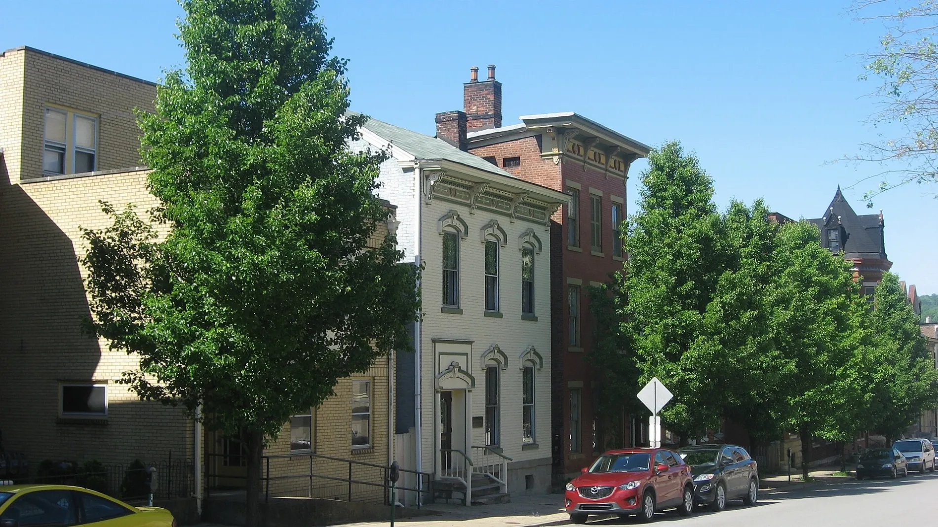
Vine Street in Wheeling, West Virginia
Vine Street in Wheeling is a residential street and it runs in a southeast-northwest direction starting from East 10th Street and ends in a cul-de-sac. Vine Street also exists in Jefferson County, Brooke County, Harrison County, Marion County and Monongalia County.
- Road Type
- residential street
- Route
- southeast-northwest
Image
Schools
Post offices
Community centers
Fast food restaurants
Courthouses
Cafes
Jewelry stores
Places of worship
Bars
Prisons
Beauty salons
Collector shops
Restaurants
Galleries
Hair salons
Furniture stores
Town halls
Social facilities
Streets nearby
Cherry Street200 ft
Terrace Avenue200 ft
Summit Street250 ft
Isabella Street0.1 mi
East 10th Street0.1 mi
High Street0.2 mi
Vineyard Hills South Steps0.2 mi
Charles Street0.2 mi
Lane FThird Presbyterian Church
0.2 mi
Lane 80.2 mi
12th StreetMonroe Street East Historic District, Studio 66, Elle & Jack's, Nail City Records, Vagabond Kitchen
0.2 mi
Jacob Street0.2 mi
Walters Avenue0.3 mi
Vineyard Hills North Steps0.3 mi
13th Street0.3 mi
Lane 90.3 mi
Byron Street0.3 mi
City View Avenue0.3 mi
Eoff StreetSaint Ladislaus Roman Catholic Church, Our Lady of Lebanon School, Ohio County Jail
0.3 mi
Grandview Street0.3 mi
Lane 110.3 mi
Lane DWheeling Middle School, Saint Matthews Episcopal Church, Ohio County Courthouse, Wheeling City Hall
0.3 mi
Serig DriveVineyard Hills
0.3 mi
14th StreetWheeling Catholic Elementary School, The Public Market, Wheeling Nailers Team Store, Wheeling Artisan Center Shop, Second United Presbyterian Church, Downtown Wheeling Historic District
0.3 mi
Chapline StreetFirst United Presbyterian Church, Wheeling Post Office, Carin's Pub, Saint James Evangelical Lutheran Church
0.3 mi
Amenities nearby
King's Daughters Childcare Center0.2 mi
Apartment buildings nearby
Booker T. Washington Plaza0.3 mi
Banks nearby
Ohio Valley Community Federal Credit Union0.3 mi
Buildings nearby
Ventilation Building0.3 mi
Cerrone Associates0.3 mi
Churches nearby
Simpson United Methodist Church0.3 mi
Community centers nearby
Nelson Jordan Center0.2 mi
Samaritan House0.3 mi
Scottish Rite Cathedral0.3 mi
The Mother Jones Center0.3 mi
Dentist's offices nearby
Nelson Family Dentistry0.3 mi
Gardens nearby
East Wheeling Community Park0.2 mi
Houses nearby
Nail City Inspections0.3 mi
Thomas E. McIntire & Associates0.3 mi
Orchards nearby
Vineyard Hills Orchard0.3 mi
Places of worship nearby
Macedonia Baptist Church0.2 mi
Agape Baptist Church0.3 mi
Wayman African Methodist Episcopal Church0.3 mi
Cathedral of Saint Joseph0.3 mi
Fourth Street United Methodist Church0.3 mi
Religious areas nearby
Diocese of Wheeling-Charleston0.2 mi
School buildings nearby
Cathedral Parish School0.3 mi
Sports halls nearby
Central Catholic High School Athletic Center0.2 mi
Wine shops nearby
Good Mansion Wines0.3 mi
Public transit map Wheeling Legend
| Railway | |
| Bus | |
| Streetcar |
Bicycle map Wheeling Legend
| Bike path | |
| Bike lane on roadway | |
| Cycling allowed on bus lane | |
| Bicycle street | |
| Open to cyclists | |
| Open to cyclists, good path | |
| Cycling prohibited | |
| Cobblestone |
| Long-distance bike route | (depending on scale) | |
| Long-distance bike route |
Pedestrian map Wheeling Legend
| Path |
| Long-distance hiking trail | (depending on scale) | |
| Long-distance hiking trail | ||
| Pedestrians prohibited |