
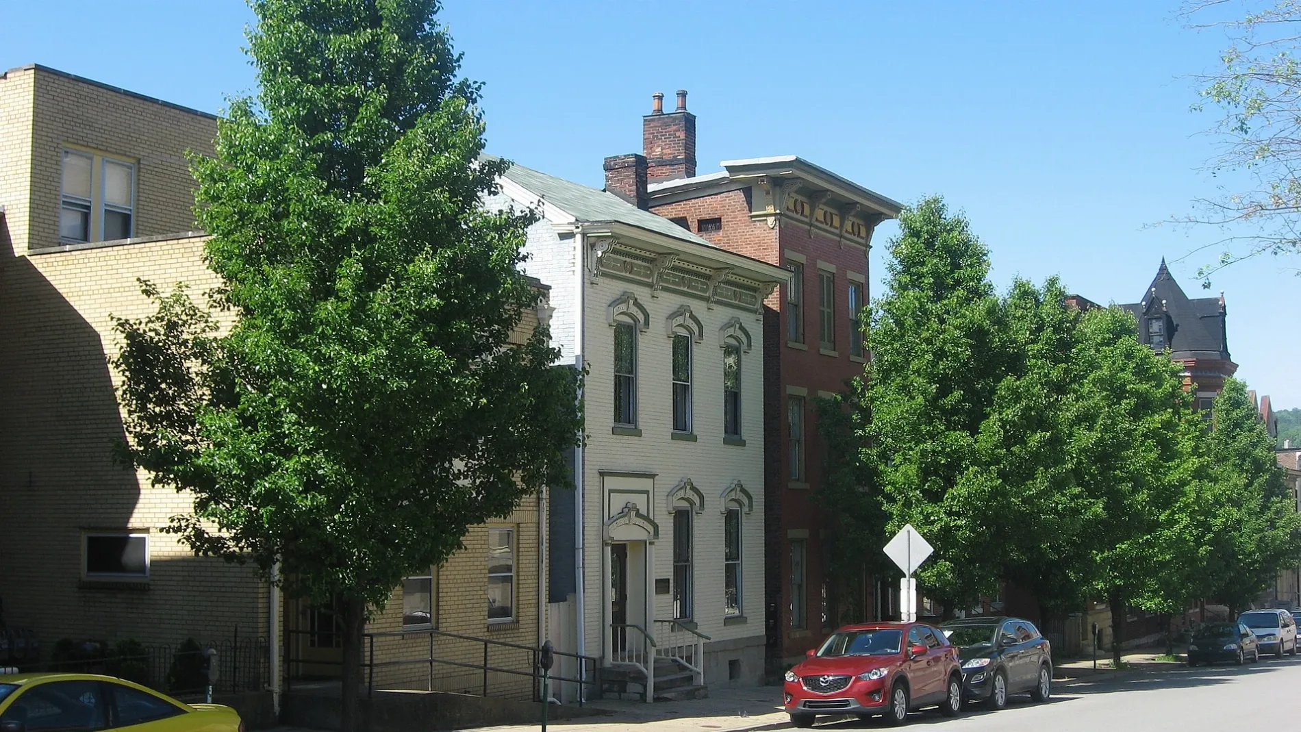
18th Street in Wheeling, West Virginia
18th Street in Wheeling is a residential street. It runs in an east-west direction starting from Eoff Street and crosses Jacob Street, Wood Street and Lane G and ends at McColloch Street. Nearby you can find 2 places of worship. 18th Street also exists in Brooke County, Marshall County, Cabell County, Kanawha County and Wayne County.
- Road Type
- residential street
- Route
- east-west
Image
Places of worship
Streets nearby
Lane 16250 ft
Jacob Street350 ft
Lane 150.1 mi
Eoff StreetSaint Ladislaus Roman Catholic Church, Our Lady of Lebanon School, Ohio County Jail
0.1 mi
Lane 14Visiting Angels Senior Home Care of Wheeling
0.1 mi
16th StreetWheeling, First English Lutheran Church, Francis Pierpont
0.1 mi
19th Street0.1 mi
17th StreetCentral Fire Station
0.2 mi
Lane FOur Lady of Perpetual Help Catholic Church, Third Presbyterian Church
0.2 mi
Lane 13East Wheeling Historic District
0.2 mi
Wood StreetCentral Baptist Church, South Wheeling Historic District, Saint Marys School, Saint Pauls United Church of Christ
0.2 mi
Chapline StreetFirst United Presbyterian Church, Wheeling Post Office, Carin's Pub, Saint James Evangelical Lutheran Church
0.2 mi
Lane GSaint Ladislaus School
0.2 mi
20th Street0.2 mi
22nd StreetDrizzy's Tobacco Plus, Studio Blue Barbershop
0.3 mi
Chapel RoadSuicide Hill
0.4 mi
Lane 19 Steps0.4 mi
Lane ELiberty Christian Church, Upper Benwood, Trinity Evangelical Lutheran Church
0.4 mi
Lane 19Wheeling Warehouse Historic District
0.4 mi
Hubbard Lane0.4 mi
Charles Street0.4 mi
23rd StreetChapline Street Row Historic District, Angel Vines
0.4 mi
Apartment buildings nearby
Hanover Apartments0.4 mi
Banks nearby
First Choice America Community Federal Credit Union0.2 mi
Buildings nearby
McClellan Sign0.1 mi
Lee Day Report Center0.1 mi
West Virginia Department of Health & Human Resources0.2 mi
McCoy Wealth Management0.2 mi
Donald J. Tennant Jr Attorney at Law0.2 mi
Academic Support Center0.2 mi
Clinics nearby
Wheeling Clinic0.1 mi
Northwood Health Systems0.2 mi
Community centers nearby
Elks Lodge0.2 mi
Helping Heroes0.2 mi
Convenience stores nearby
Neely's Grocery0.2 mi
Doctor's offices nearby
Skin Reflections Medical Spa0.3 mi
Fire stations nearby
Wheeling Fire Department Headquarters0.2 mi
Fitness centers nearby
CentreTown Fitness0.3 mi
Gardens nearby
Farm 180.1 mi
Libraries nearby
Ohio County Public Library0.2 mi
Office buildings nearby
Maxwell Centre0.3 mi
Bennett Square0.3 mi
Pharmacies nearby
Gomper's Pharmacy0.4 mi
Places of worship nearby
Saint John's United Church of Christ0.4 mi
Our Lady of Lebanon Maronite Roman Catholic Church0.4 mi
Police stations nearby
Wheeling Police Department0.3 mi
Restaurants nearby
Hall of Fame Cafe0.3 mi
School buildings nearby
Education Center0.1 mi
Social facilities nearby
Soup Kitchen of Greater Wheeling0.1 mi
 Public transit map Wheeling Legend
| Railway | |
| Bus | |
| Streetcar |
 Bicycle map Wheeling Legend
| Bike path | |
| Bike lane on roadway | |
| Cycling allowed on bus lane | |
| Bicycle street | |
| Open to cyclists | |
| Open to cyclists, good path | |
| Cycling prohibited | |
| Cobblestone |
| Long-distance bike route | (depending on scale) | |
| Long-distance bike route |
 Pedestrian map Wheeling Legend
| Path |
| Long-distance hiking trail | (depending on scale) | |
| Long-distance hiking trail | ||
| Pedestrians prohibited |