
Lane G in Wheeling, West Virginia
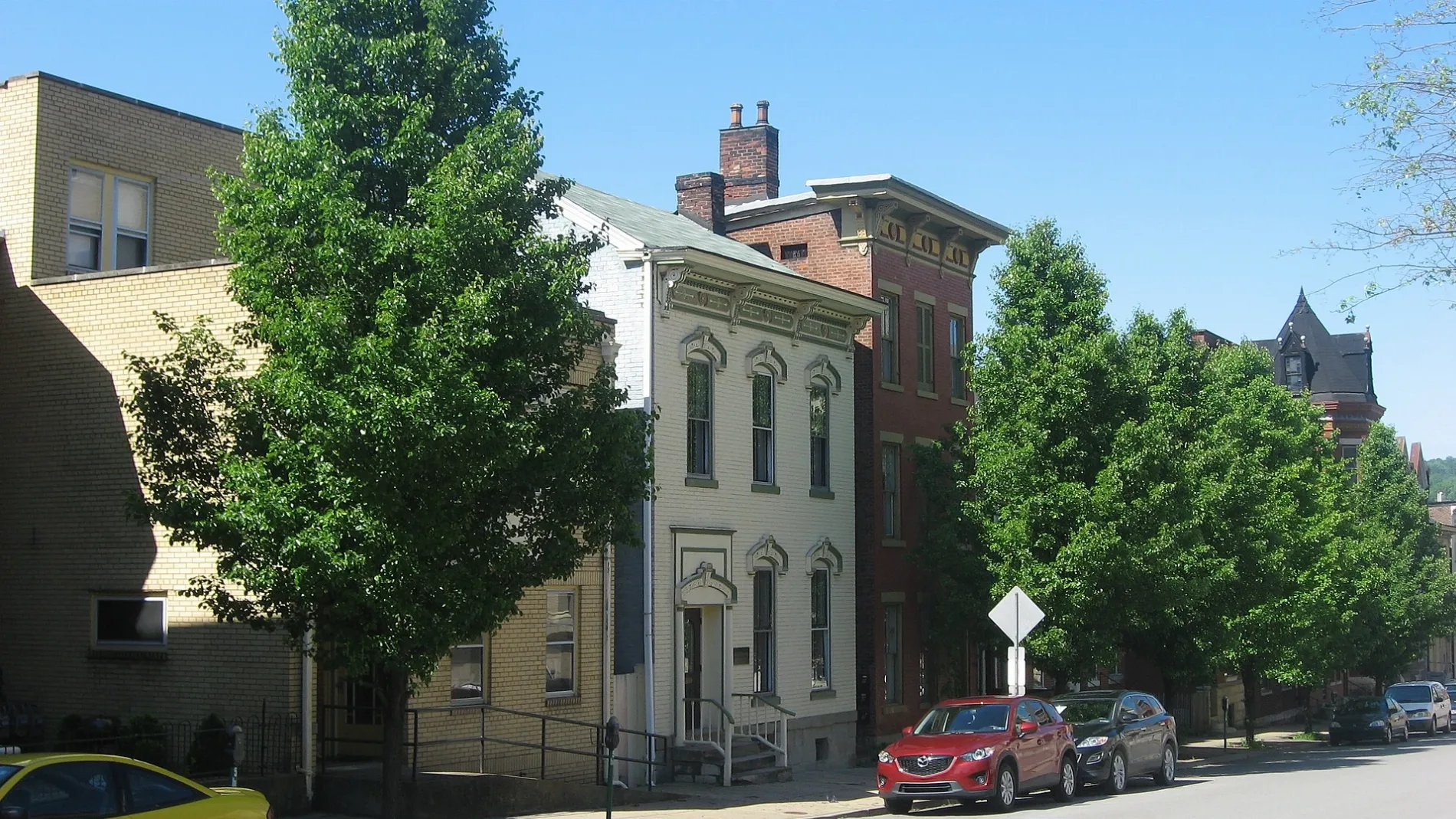
Lane G in Wheeling is a service road. It runs in a north-south direction starting from 14th Street and crosses Lane 11 and ends at 15th Street. Nearby there is a school.
- Road Type
- service road
- Route
- north-south
Image
Schools
Streets nearby
Lind Street200 ft
Wood StreetCentral Baptist Church, South Wheeling Historic District, Saint Marys School, Saint Pauls United Church of Christ
400 ft
4th StreetBethlehem Apostolic Church
400 ft
14th StreetThe Public Market, Wheeling Nailers Team Store, Wheeling Catholic Elementary School, Wheeling Artisan Center Shop, Second United Presbyterian Church, Downtown Wheeling Historic District
450 ft
Belmont Street0.1 mi
Isabella Street0.1 mi
Greater Wheeling Trail0.1 mi
Lane FOur Lady of Perpetual Help Catholic Church, Third Presbyterian Church
0.1 mi
Lane 13East Wheeling Historic District
0.1 mi
13th Street0.2 mi
16th StreetWheeling, First English Lutheran Church, Francis Pierpont
0.2 mi
Lane 14Visiting Angels Senior Home Care of Wheeling
0.2 mi
McColloch Street0.2 mi
Lane 110.2 mi
15th Street0.2 mi
Lane 150.2 mi
Lane IGoosetown
0.2 mi
Warren Street0.2 mi
Lane 80.2 mi
Tunnel Green Street0.2 mi
17th StreetCentral Fire Station
0.2 mi
Baltimore Street0.2 mi
Jacob Street0.2 mi
East 12th Street0.3 mi
Judy Street0.3 mi
19th Street0.3 mi
18th StreetLaughlin Memorial Chapel, Saint Anthony Roman Catholic Church
0.3 mi
Rock Point RoadManchester
0.3 mi
Lane 160.3 mi
Amenities nearby
King's Daughters Childcare Center0.2 mi
Buildings nearby
Clay School50 ft
Lee Day Report Center0.2 mi
McClellan Sign0.2 mi
Commercial buildings nearby
Sohan Building0.1 mi
Community centers nearby
Youth Services System0.2 mi
Greater Wheeling Coalition for the Homeless0.2 mi
American Legion Hall Post 590.2 mi
Convenience stores nearby
East Wheeling Express Mart0.1 mi
Neely's Grocery0.1 mi
Dog parks nearby
Fitzsimmons Family Dog Park0.3 mi
Fast food restaurants nearby
Euphoric Donuts0.1 mi
Fire stations nearby
Wheeling Fire Department Headquarters0.2 mi
Gardens nearby
14th Street Greenhouses400 ft
Farm 180.2 mi
Houses nearby
Nail City Inspections0.2 mi
Parks nearby
Eastern Park550 ft
Places of worship nearby
Agape Baptist Church0.2 mi
Religious areas nearby
Diocese of Wheeling-Charleston0.2 mi
Sports halls nearby
Central Catholic High School Athletic Center0.2 mi
 Public transit map Wheeling Legend
| Railway | |
| Bus | |
| Streetcar |
 Bicycle map Wheeling Legend
| Bike path | |
| Bike lane on roadway | |
| Cycling allowed on bus lane | |
| Bicycle street | |
| Open to cyclists | |
| Open to cyclists, good path | |
| Cycling prohibited | |
| Cobblestone |
| Long-distance bike route | (depending on scale) | |
| Long-distance bike route |
 Pedestrian map Wheeling Legend
| Path |
| Long-distance hiking trail | (depending on scale) | |
| Long-distance hiking trail | ||
| Pedestrians prohibited |