
West Congress Street in Ruby Gardens, Wauwatosa, Wisconsin
West Congress Street in Ruby Gardens in Wauwatosa is an asphalted, lit local road. The street has bike paths (bike lane). No sidewalks. It runs in an east-west direction starting from North 92nd Street. This street is part of the Bicycle route "Milwaukee Bicycle Route". West Congress Street also exists in Lovers Lane Estates.
- Road Type
- local road
- Speed Limit
- 30 mph
- Route
- east-west
Image
Bus stops
Streets nearby
West Marion Street0.2 mi
North 95th StreetTosa Heights
0.2 mi
West Congress StreetCongress & 91st Street, Congress & 92nd Street, Congress & 87th Street, Congress & 84th Street
0.2 mi
North 91st Street0.2 mi
North 90th Street0.2 mi
North 90th Court0.3 mi
West Palmetto Avenue0.3 mi
North 92nd Street92nd Street & Marion, 92nd Street & Hope, 92nd Street & Hampton, 92nd Street & Grantosa, 92nd Street & Congress, 92nd Street & Glendale
0.3 mi
West Palmetto Court0.3 mi
West Grantosa Drive0.3 mi
West Byron Place0.3 mi
West Glendale AvenueRuby Gardens
0.3 mi
West Lawrence Avenue0.3 mi
North 89th Street0.3 mi
West Butler Place0.3 mi
West Herbert Court0.3 mi
West Hope Avenue0.4 mi
North 88th StreetLindsey Park
0.4 mi
North 96th Street0.4 mi
North 94th Street0.4 mi
West Sarasota Place0.5 mi
North 87th Street0.5 mi
West Olive Street0.5 mi
North 93rd Street0.5 mi
West Capitol DriveCapitol & 92nd Street, Advanced Pain Management, Capitol & 88th Street, Trinity Home Healthcare, Capitol Family Dental, Wisconsin Urgent Care, Hayat Pharmacy, Quality Sleep Insitute, Bizzy Bugz
0.5 mi
Apartment buildings nearby
Greek Orthodox Manor350 ft
Buildings nearby
Administration0.2 mi
Welcome Center0.3 mi
Adult Day Care and Health Services0.3 mi
Lead Institute0.4 mi
Community centers nearby
James W. Pihos Cultural Center0.1 mi
Northwest Masonic Center0.1 mi
Fast food restaurants nearby
Little Caesars0.5 mi
Funeral homes nearby
Krause Funeral Home & Cremation0.5 mi
Places of worship nearby
Northwest Baptist Church500 ft
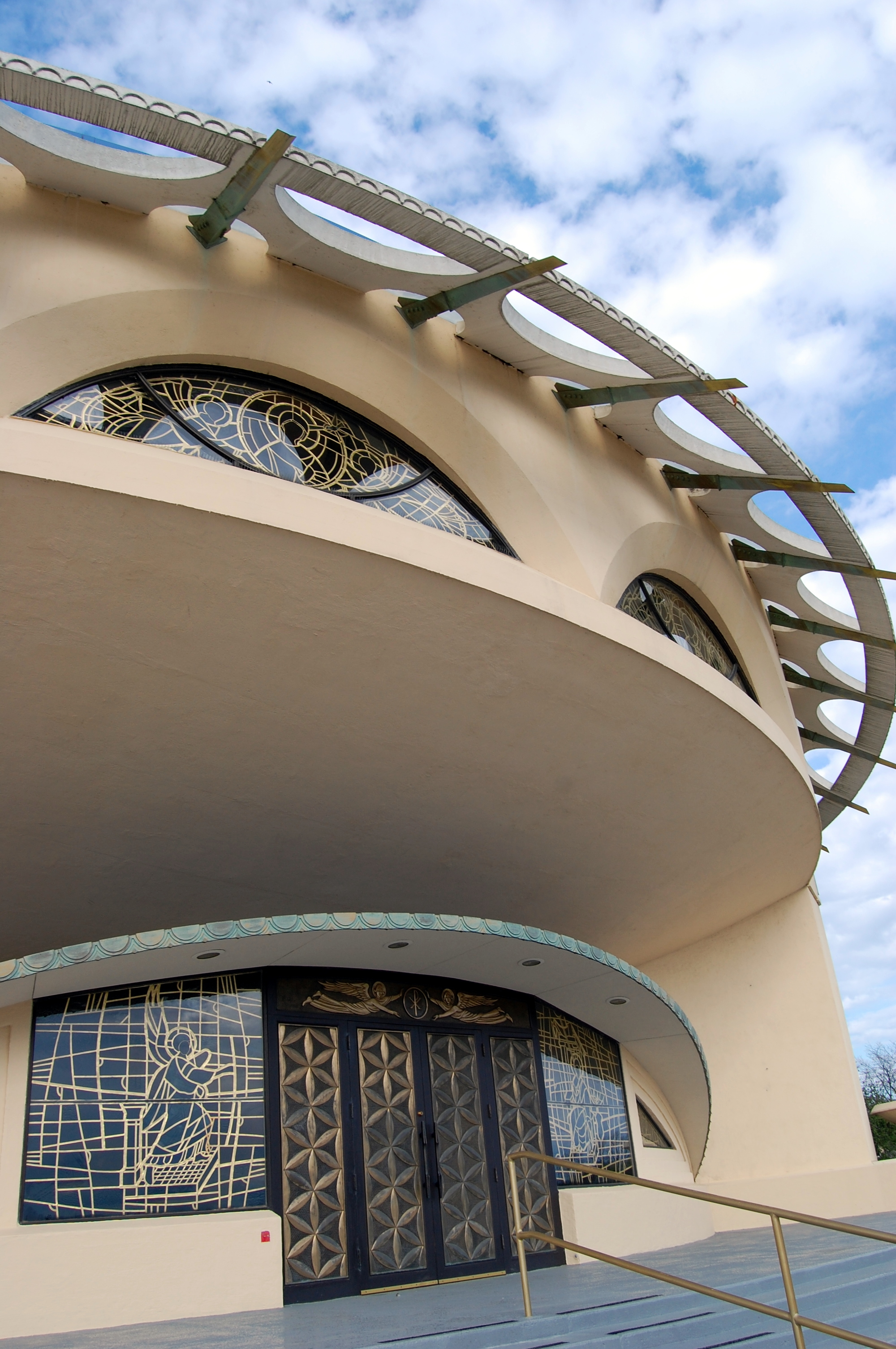
Annunciation Greek Orthodox Church0.1 mi
Residential areas nearby
Grantosa View Apartments100 ft
Terrace Apartments0.3 mi
Residential buildings nearby
B0.2 mi
A0.2 mi
C0.2 mi
D0.2 mi
E0.2 mi
I0.2 mi
H0.3 mi
G0.3 mi
O0.3 mi
M0.3 mi
Restaurants nearby
Rick Inn0.5 mi
Retail areas nearby
Tenley Amoco0.5 mi
Public transit map Ruby Gardens Legend
| Railway | |
| Bus | |
| Streetcar |
Bicycle map Ruby Gardens Legend
| Bike path | |
| Bike lane on roadway | |
| Cycling allowed on bus lane | |
| Bicycle street | |
| Open to cyclists | |
| Open to cyclists, good path | |
| Cycling prohibited | |
| Cobblestone |
| Long-distance bike route | (depending on scale) | |
| Long-distance bike route |
Pedestrian map Ruby Gardens Legend
| Path |
| Long-distance hiking trail | (depending on scale) | |
| Long-distance hiking trail | ||
| Pedestrians prohibited |