
Depot Square in Cheyenne, Wyoming
Depot Square in Cheyenne is a concrete pedestrian zone and it runs in a northeast-southwest direction. Nearby you can find a bus station and an artwork. The nearest bus stop is Warren & E 18th (about 300 m away).
- Road Type
- pedestrian zone
- Route
- northeast-southwest
Image
Stations
Streets nearby
West LincolnwayMary's Mountain Cookies, Comea Shelter, Lincolnway & Fleishchili Pkwy
200 ft
Central AvenueCentral & 9th St, Central & 5th St, Central & Kennedy, Central Ave & W 7th Ave (NW), Central Ave & W 29th St (NW) (WSL), Big Boot
350 ft
Carey AvenueBig Boot, Locomotive, Old West Museum, Exposed Rock Wall, The Cheyenne Cup, The Spirit of Wyoming, bus shelter
500 ft
East LincolnwayCheyenne, Lincolnway & College (E), Maverik, Dino, Dollar General Lincolnway (E), Lincolnway & Big Horn (E), Lincolnway & Hot Springs (E), KFC, McDonald's, Hi Sushi, 2612 E Lincolnway (E), Lincolnway & Logan (E), Blackjack Pizza, Rock On Wheels, Lincolnway & Russell (E), Lincolnway & Maxwell (E), Baskin-Robbins
500 ft
I-1800.1 mi
West 15th StreetCoffee Depot, Big Boot, Barrett Creek Coffee, Accomplice Beer Company
0.1 mi
Warren AvenueWarren Ave & E 18th St (E), Warren & E 18th, Warren Ave & E 25th St (NW)
0.1 mi
House Avenue0.2 mi
East 15th StreetWalgreens Pharmacy
0.2 mi
West 11th Street0.3 mi
Hacienda Court0.3 mi
Auto repair shops nearby
Grease Monkey0.1 mi
Buildings nearby
Union Pacific Steam Shop0.2 mi
Cell phone stores nearby
Cricket Wireless0.1 mi
Clothing stores nearby
The Wrangler250 ft
Commercial buildings nearby
Magestic Building200 ft
Hynds Building300 ft
Grier Building450 ft
Wyoming Business Council500 ft
Sprint Cellular Tower Center0.4 mi
Fast food restaurants nearby
Carl's Jr.0.1 mi
Gas stations nearby
Hi Market0.1 mi
Hotels nearby
The Historic Plains Hotel200 ft
Industrial buildings nearby
Union Pacific Railroad Roundhouse0.2 mi
Museums nearby
Cheyenne Depot Museum400 ft
Parks nearby
Cheyenne Depot Plaza200 ft
Public restrooms nearby
Union Depot Plaza Restrooms200 ft
Railways nearby
Old 80.2 mi
Hansen West0.2 mi
Fueling #10.2 mi
Fueling #20.2 mi
Diesel Inspect 40.2 mi
Diesel Inspect 20.2 mi
Diesel Inspect 10.2 mi
Diesel Runaround0.2 mi
Wheel Shop Pit0.3 mi
N90.3 mi
S20.3 mi
N10.3 mi
West Farm0.3 mi
N50.3 mi
N20.3 mi
S10.3 mi
S30.3 mi
Rec N0.3 mi
Stge0.3 mi
Restaurants nearby
The Albany Restaurant, Bar and Liquor Mart400 ft
Sanford's Grub & Pub550 ft
Theaters nearby
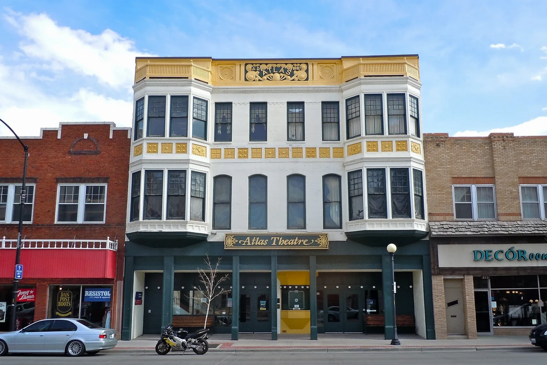
Atlas Theatre300 ft
Public transit map Cheyenne Legend
| Railway | |
| Bus | |
| Streetcar |
Bicycle map Cheyenne Legend
| Bike path | |
| Bike lane on roadway | |
| Cycling allowed on bus lane | |
| Bicycle street | |
| Open to cyclists | |
| Open to cyclists, good path | |
| Cycling prohibited | |
| Cobblestone |
| Long-distance bike route | (depending on scale) | |
| Long-distance bike route |
Pedestrian map Cheyenne Legend
| Path |
| Long-distance hiking trail | (depending on scale) | |
| Long-distance hiking trail | ||
| Pedestrians prohibited |