
Little King William Street in Kent Town
Little King William Street in City of Burnside is an asphalted service road (40 km/h). It runs in a northeast-southwest direction starting from Fullarton Road and crosses College Road and ends at Dequetteville Terrace. In the vicinity, there is a dentist. The nearest bus stop in the vicinity is Stop 2 North Terrace - South East side (approx. 100 m away).
- Road Type
- service road
- Bicycle
- yes
- Speed Limit
- 40
- Route
- northeast-southwest
Image
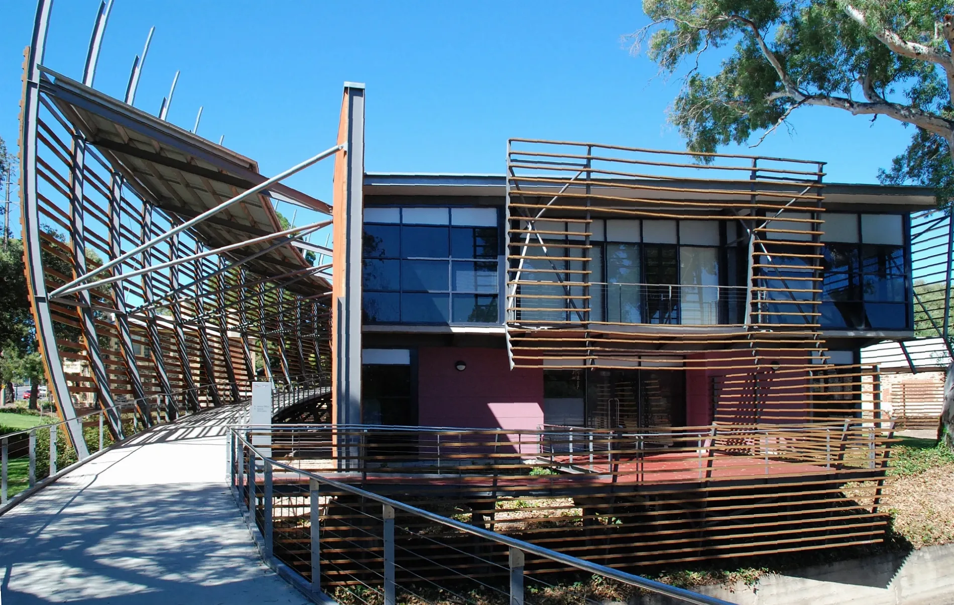
Dentist
Roads nearby
The Avenue150 m
Rundle StreetTip Top Brain College, Small Animal Specialist Hospital, Stop 3 Rundle Street - North side, Stop 3 Rundle Street - South side, Barber on Rundle, Tell Henry, J&O Cake Lab, Bespoke Kitchens, Allera, Simply Coffee, Mezzanine, Adelaide Online Computers
200 m
Nuffield LaneHeavenly Headspace
200 m
Osborne Street250 m
King William StreetLatin Market, Bibo Bar and Eatery, Homeland, Pan and Vine, Sarah Hansen Hair, Cafe La Corp, Octeine Coffee, Waterpro Kent Town, Khou, AAA Crash Repairs
250 m
Trinity Street300 m
North TerraceStop 2 North Terrace - North West side, MooBar, Mozaika, Meow Nails, Stop 3 North Terrace - North side, Snap Print Solutions, Stop 2 North Terrace - South East side
300 m
Keble Lane400 m
Baliol StreetNaturally Wild
400 m
Magill Roadtwo pairs, Gloss, Inside Morocco, Cachemira, Floors Floors Floors, Wholly Belly Wood Fired Kitchen, Galligans Mattress Factory, Varricchio's Crash Repairs, Atlas Mcneil Healthcare, stryker, Victory / Ducati Motorcycles, Carbatec, P&K Pets, Cartridge World, Stepney Appliances, Stop 6 Magill Road - North side, aura, Stop 6 Magill Road - South side, Stop 4 Magill Road - North side, Stop 4 Magill Road - South side, Fisher Firearms, Canelle, Stop 5 Magill Road - South side, equip4living, Fine and Fettle, Stop 5 Magill Road - North side
450 m
Payneham RoadStop 4 Payneham Road - North West side
450 m
Athelney Avenue450 m
Wyandra Lane450 m
DIY stores nearby
Bunnings Warehouse200 m
Apartment buildings nearby
The Palms Apartments150 m
Athelney House400 m
Buildings nearby
Clinpath350 m
Uniform Shop350 m
Oval House400 m
Wyatt House500 m
Old School House550 m
Car repair shops nearby
Cardwell Auto150 m
Churches nearby
Chapel550 m
Hangars nearby
Sports Centre350 m
Office buildings nearby
Hickinbotham Group300 m
Parks nearby
Vest Pocket Park350 m
Allen Quadrangle550 m
Big Quadrangle600 m
Petrol stations nearby
OTR Kent Town400 m
Pubs nearby
Kent Town Hotel200 m
Retail buildings nearby
Duke of Leinster Building500 m
School buildings nearby
Palm House150 m
Junior School Hall150 m
Junior School200 m
New Palm House200 m
Hill Wing Music Centre400 m
Memorial Hall450 m
Nitschke Pavilion550 m
Miller Library600 m
Da Costa Dining Hall600 m
Pentreath Building600 m
Florey Science Building600 m
Drama Building650 m
Art and Technology Building650 m
Gordon Building650 m
Sports pitches nearby
Girdlestone Oval250 m
Palm House Oval250 m
Main Oval450 m
Lloyd Oval450 m
Public transport map Kent Town Legend
| Railway | |
| Bus | |
| Tram |
Cycling map Kent Town Legend
| Cycle path | |
| Cycle lane on road | |
| Cycling on bus lane | |
| Bicycle street | |
| Cyclists allowed | |
| Cyclists allowed, good surface | |
| No cycling | |
| Cobblestones |
| Long-distance cycle route | (depending on scale) | |
| Long-distance cycle route |
Walking map Kent Town Legend
| Path |
| Long-distance hiking trail | (depending on scale) | |
| Long-distance hiking trail | ||
| No pedestrians |