
Dequetteville Terrace in Kent Town
Dequetteville Terrace in City of Burnside is a three-lane, asphalted, lit expressway (60 km/h). There is no cycle path. It runs in a southeast-northwest direction and crosses Little King William Street, King William Street, Little Rundle Street, Rundle Street, Capper Street, Little Flinders Street, Bartels Road, Flinders Street, Little Wakefield Street, Wakefield Street, Little Angas Street and Angas Street. This road is part of the long-distance road "R1". In the vicinity, there is among other things a clinic. The nearest bus stop in the vicinity is Stop 3 Rundle Street - South side (approx. 50 m away). The bus lines 141, 142, 144 and 144G serve this stop. Dequetteville Terrace also exists in City of Unley.
- Road Type
- expressway
- Speed Limit
- 60
- Route
- southeast-northwest
Image
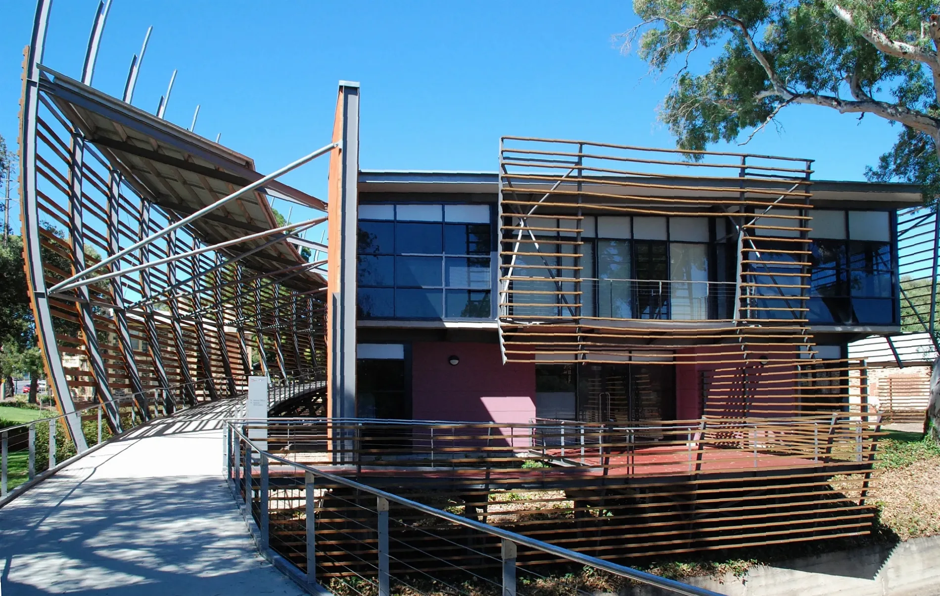
Clinic
Roads nearby
O-Bahn City Access50 m
Rundle StreetStop 3 Rundle Street - North side, Stop 3 Rundle Street - South side, Barber on Rundle, Tip Top Brain College, Small Animal Specialist Hospital, Tell Henry, J&O Cake Lab, Bespoke Kitchens, Allera, Simply Coffee, Mezzanine, Adelaide Online Computers
100 m
King William StreetHomeland, Latin Market, Bibo Bar and Eatery, Pan and Vine, Sarah Hansen Hair, Cafe La Corp, Octeine Coffee, Waterpro Kent Town, Khou, AAA Crash Repairs
100 m
Rundle Road100 m
Dequetteville TerraceStop X1 Dequetteville Terrace - South West side, Stop U1 Dequetteville Terrace - West side, Stop V1 Dequetteville Terrace - West side, Stop W1 Dequetteville Terrace - South West side
100 m
Little Capper Street150 m
North TerraceMozaika, Meow Nails, Stop 2 North Terrace - North West side, MooBar, Stop 3 North Terrace - North side, Snap Print Solutions, Stop 2 North Terrace - South East side
250 m
Westbury Street400 m
Botanic RoadEast Gate, Stop 1 Botanic Road - North West side, Stop 1 Botanic Road - South East side
400 m
Keble Lane450 m
Botanic LaneAfricola, Thanks to Theo, OZIN Restaurant
450 m
Hackney RoadStop 3 Hackney Road - North East side, Stop 2 Hackney Road - North East side, Stop 2A Hackney Road - East side
500 m
Botanic Street500 m
Vardon AvenueTarantino's, Exchange Coffee, NOLA, Eros
500 m
Apartment buildings nearby
North Terrace House250 m
Artwork nearby
Black Spring350 m
Attraction nearby
National Wine Centre of Australia300 m
Bicentennial Conservatory550 m
Mediterranean Garden600 m
Body of waters nearby
Top Lake350 m
Nelumbo Pond500 m
Buildings nearby
Former Kent Town Waterworks Valve House200 m
East Lodge250 m
Hackney House400 m
Summer House400 m
Deadhouse450 m
Goodman Building450 m
Old Tram Barn A500 m
Constructions nearby
Monde50 m
Gardens nearby
Eremophila Garden300 m
Adelaide Botanic Gardens350 m
Sunken Garden400 m
Araucaria Avenue450 m
Kitchen Garden500 m
Museum nearby
Museum of Economic Botany550 m
Office buildings nearby
Nurses Memorial Centre of SA Inc200 m
Hickinbotham Group350 m
Parks nearby
Rundle Park / Kadlitpina (Park 13)400 m
Petrol stations nearby
OTR350 m
Plant nurseries nearby
Threatened Plant Seed Orchard400 m
Playgrounds nearby
Quentin Kenihan Inclusive Playspace300 m
Pubs nearby
The Stag500 m
Residential areas nearby
Dr Kent’s Paddock150 m
Brewery Appartments150 m
East on Rundle150 m
The Malthouse, Brewery Apartments150 m
Residential buildings nearby
Romilly House250 m
Roof structures nearby
Schomburgk Pavilion550 m
Sports centres nearby
Adelaide Bowling Club300 m
Wetlands nearby
First Creek Wetland450 m
Public transport map Kent Town Legend
| Railway | |
| Bus | |
| Tram |
Cycling map Kent Town Legend
| Cycle path | |
| Cycle lane on road | |
| Cycling on bus lane | |
| Bicycle street | |
| Cyclists allowed | |
| Cyclists allowed, good surface | |
| No cycling | |
| Cobblestones |
| Long-distance cycle route | (depending on scale) | |
| Long-distance cycle route |
Walking map Kent Town Legend
| Path |
| Long-distance hiking trail | (depending on scale) | |
| Long-distance hiking trail | ||
| No pedestrians |