
Little Capper Street in Kent Town
Little Capper Street in City of Burnside is an asphalted, lit service road. No sidewalks. It runs in a southeast-northwest direction starting from Rundle Street and ends at Capper Street.
- Road Type
- service road
- Route
- southeast-northwest
Image
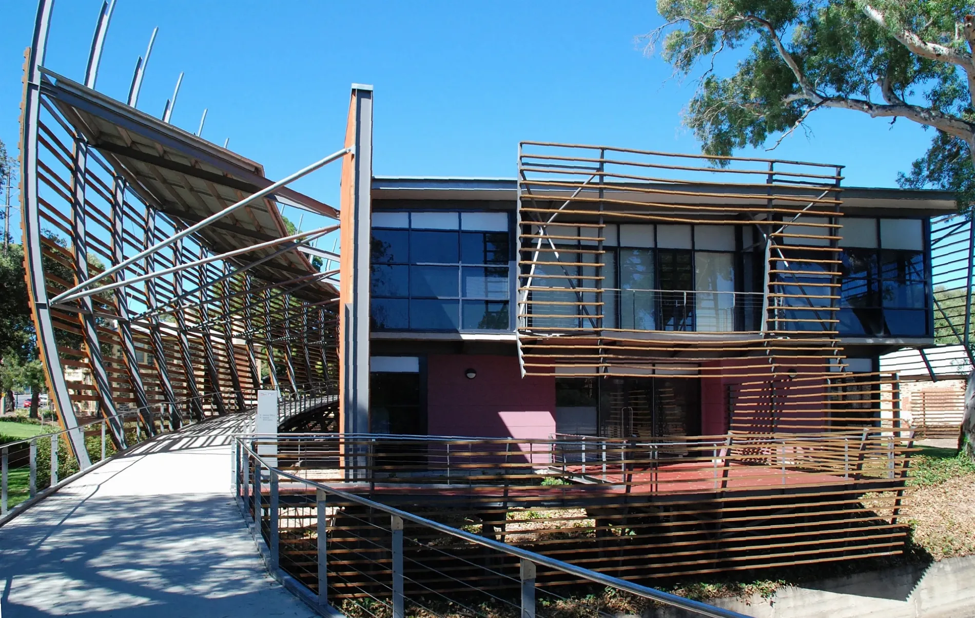
Hairdressers
Car repair shops
Kitchen showrooms
Coffee shops
Dentist
Massage parlours
Bus stops
Art galleries
Cafés
Clinic
Specialist shops
Lighting shops
Clothing shops
Restaurants
Roads nearby
Rundle StreetStop 3 Rundle Street - North side, Stop 3 Rundle Street - South side, Barber on Rundle, Tip Top Brain College, Small Animal Specialist Hospital, Tell Henry, J&O Cake Lab, Bespoke Kitchens, Allera, Simply Coffee, Mezzanine, Adelaide Online Computers
100 m
Rundle Road150 m
O-Bahn City Access200 m
Little Rundle Street250 m
Capper Street350 m
North TerraceMozaika, Meow Nails, Stop 2 North Terrace - North West side, MooBar, Stop 3 North Terrace - North side, Snap Print Solutions, Stop 2 North Terrace - South East side
350 m
Little Flinders Street400 m
Pirie Street450 m
College RoadSeventy 8 On Rundle, Formula Automotive
500 m
Little Grenfell StreetRub Massage
500 m
Grenfell StreetEco outdoor
500 m
Little Young StreetGelato Messina Kent Town
500 m
Nuffield LaneHeavenly Headspace
500 m
Osborne Street550 m
Little King William StreetKent Town Dental
550 m
Little Dew Street550 m
Dew Street600 m
The Parade600 m
Fullarton Road650 m
The Avenue700 m
DIY stores nearby
Bunnings Warehouse400 m
Apartment buildings nearby
North Terrace House350 m
The Palms Apartments450 m
Car repair shops nearby
Cardwell Auto550 m
Constructions nearby
Monde150 m
East Rundle300 m
Hotels nearby
Adelaide Royal Coach Hotel400 m
Motel nearby
Econolodge East Adelaide450 m
Office buildings nearby
Nurses Memorial Centre of SA Inc50 m
Hickinbotham Group400 m
Places of worship nearby
Eric Freak Memorial Chapel300 m
Pubs nearby
Kent Town Hotel450 m
Residential areas nearby
Brewery Appartments50 m
East on Rundle50 m
The Malthouse, Brewery Apartments100 m
Dr Kent’s Paddock150 m
Residential buildings nearby
Romilly House350 m
School buildings nearby
ANZAC Hall150 m
Neil Smart200 m
Memorial200 m
Main Building250 m
Palm House550 m
New Palm House600 m
Junior School Hall650 m
Sports centres nearby
Red Centre300 m
Beyond Bouldering Kent Town450 m
Sports pitches nearby
Front Oval300 m
Back Oval350 m
Streams nearby
First Creek300 m
Public transport map Kent Town Legend
| Railway | |
| Bus | |
| Tram |
Cycling map Kent Town Legend
| Cycle path | |
| Cycle lane on road | |
| Cycling on bus lane | |
| Bicycle street | |
| Cyclists allowed | |
| Cyclists allowed, good surface | |
| No cycling | |
| Cobblestones |
| Long-distance cycle route | (depending on scale) | |
| Long-distance cycle route |
Walking map Kent Town Legend
| Path |
| Long-distance hiking trail | (depending on scale) | |
| Long-distance hiking trail | ||
| No pedestrians |