
Little Rundle Street in Kent Town
Little Rundle Street in City of Burnside is an asphalted service road (40 km/h). It runs in a northeast-southwest direction starting from Fullarton Road and crosses College Road and ends at Dequetteville Terrace.
- Road Type
- service road
- Bicycle
- yes
- Speed Limit
- 40
- Route
- northeast-southwest
Image
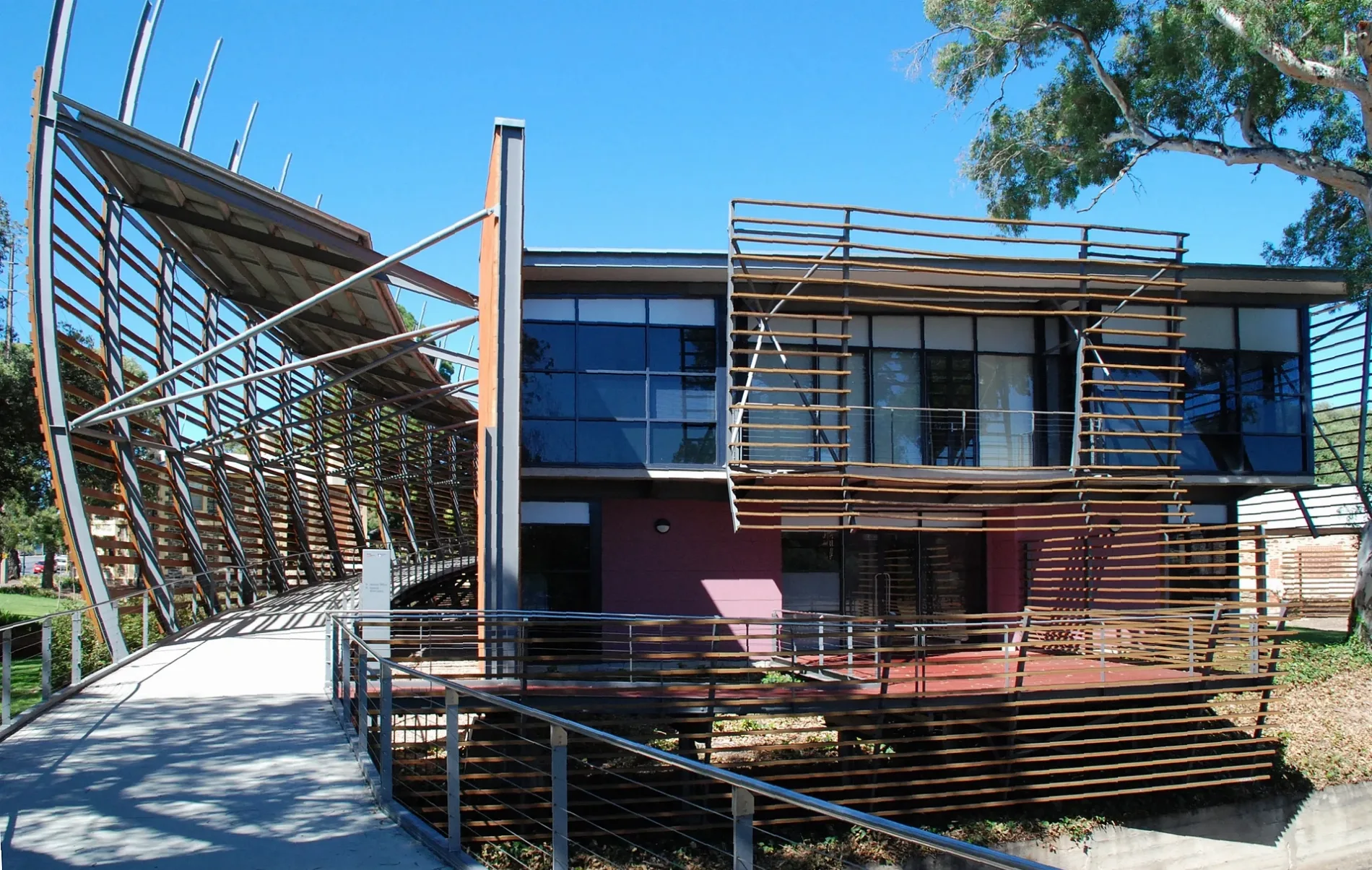
Hairdressers
Lighting shops
Clothing shops
Restaurants
Massage parlours
Clinic
Cafés
Art galleries
Dentist
Supermarkets
Bus stops
Kitchen showrooms
Specialist shops
Coffee shops
Car repair shops
Bar
Language schools
Roads nearby
Capper Street200 m
North TerraceMozaika, Meow Nails, Stop 2 North Terrace - North West side, MooBar, Stop 3 North Terrace - North side, Snap Print Solutions, Stop 2 North Terrace - South East side
250 m
Little Capper Street250 m
Rundle StreetStop 3 Rundle Street - North side, Stop 3 Rundle Street - South side, Barber on Rundle, Tip Top Brain College, Small Animal Specialist Hospital, Tell Henry, J&O Cake Lab, Bespoke Kitchens, Allera, Simply Coffee, Mezzanine, Adelaide Online Computers
250 m
O-Bahn City Access300 m
Nuffield LaneHeavenly Headspace
300 m
Rundle Road300 m
College RoadSeventy 8 On Rundle, Formula Automotive
300 m
Little Grenfell StreetRub Massage
300 m
Little King William StreetKent Town Dental
300 m
Osborne Street350 m
Grenfell StreetEco outdoor
350 m
Pirie Street400 m
Little Young StreetGelato Messina Kent Town
450 m
The Avenue450 m
Dew Street450 m
Little Dew Street500 m
The Parade550 m
Little Flinders Street550 m
Fullarton Road550 m
DIY stores nearby
Bunnings Warehouse250 m
Apartment buildings nearby
The Palms Apartments250 m
North Terrace House250 m
Car repair shops nearby
Cardwell Auto300 m
Constructions nearby
East Rundle200 m
Monde250 m
Hotels nearby
Adelaide Royal Coach Hotel550 m
Motel nearby
Econolodge East Adelaide550 m
Office buildings nearby
Hickinbotham Group250 m
Nurses Memorial Centre of SA Inc300 m
Places of worship nearby
Eric Freak Memorial Chapel400 m
Pubs nearby
Kent Town Hotel300 m
Residential areas nearby
Dr Kent’s Paddock150 m
East on Rundle250 m
Brewery Appartments300 m
The Malthouse, Brewery Apartments300 m
Residential buildings nearby
Romilly House250 m
School buildings nearby
Neil Smart200 m
ANZAC Hall250 m
Memorial300 m
Palm House350 m
Main Building350 m
New Palm House350 m
Junior School Hall450 m
Sports centres nearby
Red Centre200 m
Beyond Bouldering Kent Town300 m
Sports pitches nearby
Back Oval350 m
Front Oval450 m
Streams nearby
First Creek200 m
Public transport map Kent Town Legend
| Railway | |
| Bus | |
| Tram |
Cycling map Kent Town Legend
| Cycle path | |
| Cycle lane on road | |
| Cycling on bus lane | |
| Bicycle street | |
| Cyclists allowed | |
| Cyclists allowed, good surface | |
| No cycling | |
| Cobblestones |
| Long-distance cycle route | (depending on scale) | |
| Long-distance cycle route |
Walking map Kent Town Legend
| Path |
| Long-distance hiking trail | (depending on scale) | |
| Long-distance hiking trail | ||
| No pedestrians |