
High Street in Mitcham
High Street in City of Mitcham is an asphalted residential street (50 km/h). It runs in a southeast-northwest direction starting from Old Belair Road and crosses Cuthbert Avenue and Cuthbert Street and ends at Church Road. High Street also exists in City of Mount Gambier, Yorke Peninsula Council, The District Council of Loxton Waikerie, Tatiara District Council and Naracoorte Lucindale Council.
- Road Type
- residential street
- Speed Limit
- 50
- Route
- southeast-northwest
Image
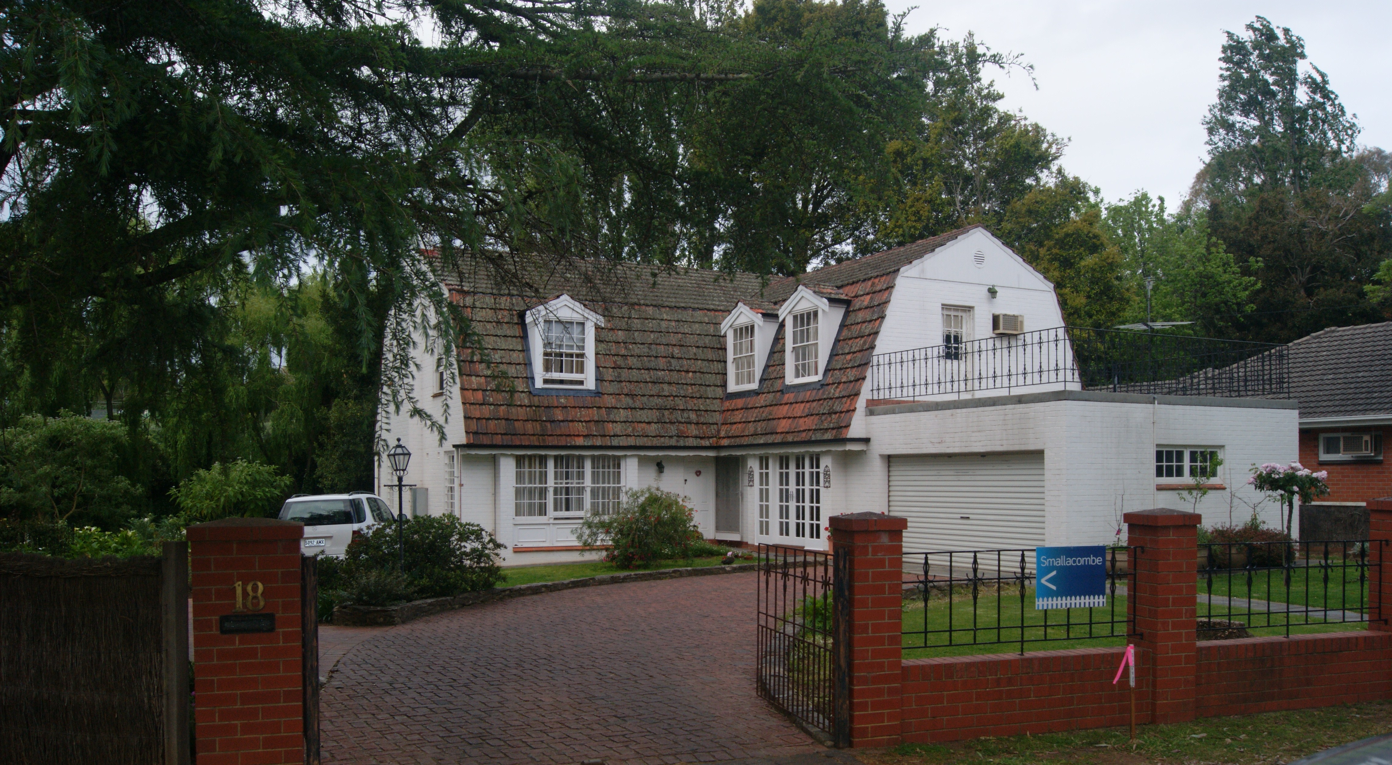
Hairdressers
Bus stops
Roads nearby
Cuthbert Avenue50 m
Old Belair Road100 m
Albert StreetStop 17 (Zone A) Albert Street - North side, Stop 17 (Zone B) Albert Street - South side
100 m
Norman Walk100 m
Frearson Place150 m
Taylors RoadStop 16B Taylors Road - North side, Stop 16B Taylors Road - South side
200 m
Church RoadThe Anglican Church of St Michael
200 m
Pages Road200 m
Keystone Bridge200 m
Rose Lane200 m
Cuthbert Street250 m
Bradey Street300 m
Evans Avenue300 m
Maitland StreetStop 16A Maitland Street - South East side, Stop 16A Maitland Street - North side
300 m
Hoggs Road300 m
Pastro Court300 m
St Michaels Road350 m
Fullers Quarry Road350 m
Birdwood Street350 m
Wokurna Avenue350 m
Princes Road400 m
Neweys Road400 m
Gilpin Lane400 m
Brown Hill Creek Road400 m
Welbourne StreetStamps Restaurant, Welbourne Hair Studio, Stop 18 Welbourne Street - East side, Stop 18 Welbourne Street - West side, This Fine Day
400 m
Muggs Hill Road400 m
Tolmer Court450 m
Lochness Avenue450 m
Blythewood Road450 m
Ballogie Road500 m
Lorraine Avenue500 m
Lois Avenue500 m
Leonard Terrace500 m
Waverley Street500 m
Torrens Street550 m
Hill Street600 m
Smith-Dorrien Street600 m
John Street650 m
Amenities nearby
Gallery One450 m
Heritage Research Centre450 m
The Shed500 m
Buildings nearby
Mitcham Village Institute450 m
Places of worship nearby
Mitcham Uniting Church500 m
Pubs nearby
The Edinburgh Hotel200 m
Recreation grounds nearby
Norman Reserve200 m
Mitcham Reserve350 m
Residential areas nearby
Mitcham Cultural Village450 m
Sports pitches nearby
Montrose Oval300 m
Village greens nearby
Sutton Gardens100 m
Public transport map Mitcham Legend
| Railway | |
| Bus | |
| Tram |
Cycling map Mitcham Legend
| Cycle path | |
| Cycle lane on road | |
| Cycling on bus lane | |
| Bicycle street | |
| Cyclists allowed | |
| Cyclists allowed, good surface | |
| No cycling | |
| Cobblestones |
| Long-distance cycle route | (depending on scale) | |
| Long-distance cycle route |
Walking map Mitcham Legend
| Path |
| Long-distance hiking trail | (depending on scale) | |
| Long-distance hiking trail | ||
| No pedestrians |