
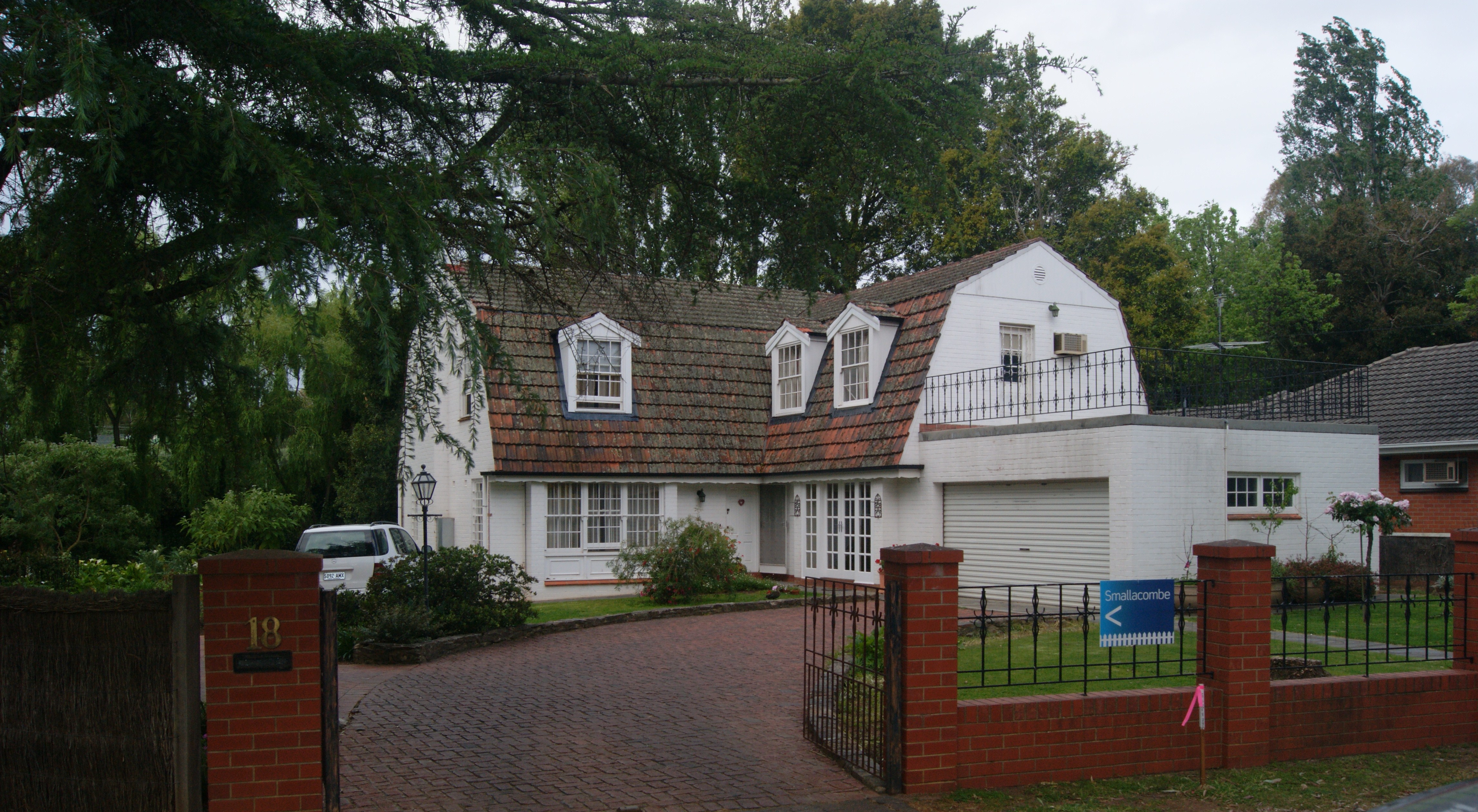
Wokurna Avenue in Mitcham
Wokurna Avenue in City of Mitcham is an asphalted residential street (50 km/h). It runs in a north-south direction starting from Hill Street and crosses Broughton Avenue and ends at Princes Road.
- Road Type
- residential street
- Speed Limit
- 50
- Route
- north-south
Image
Restaurants
Bus stops
Roads nearby
Birdwood Street100 m
Pastro Court100 m
Broughton Avenue200 m
Maitland StreetStop 16A Maitland Street - South East side, Stop 16A Maitland Street - North side
200 m
Taylors RoadStop 16B Taylors Road - North side, Stop 16B Taylors Road - South side
250 m
St Michaels Road250 m
Waverley Street250 m
Princes Road300 m
Saunders Street300 m
Birdwood Sreeet300 m
Bradey Street300 m
Albert StreetStop 17 (Zone A) Albert Street - North side, Stop 17 (Zone B) Albert Street - South side
300 m
Finlayson Street350 m
Rose Lane350 m
Carrick Hill Drive350 m
High Street350 m
Welbourne StreetStamps Restaurant, Welbourne Hair Studio, Stop 18 Welbourne Street - East side, Stop 18 Welbourne Street - West side, This Fine Day
400 m
Torrens Street400 m
Delamere Avenue400 m
Old Belair Road400 m
Birdwood Road400 m
Norman Walk450 m
Haig Street500 m
Hill Street500 m
Fullarton RoadStop 14 Fullarton Road - East side, Stop 14 Fullarton Road - West side, Stop 15 Fullarton Road - East side, Stop 15 Fullarton Road - West side, Stop 13 Fullarton Road - West side
500 m
Smith-Dorrien Street500 m
Gilpin Lane550 m
Lorraine Avenue550 m
Ballogie Road600 m
French Street600 m
Lochness Avenue600 m
John Street600 m
Kitchener StreetNetherby
750 m
Elphyn Road750 m
Truro Avenue800 m
Tutt AvenueStop 13 Tutt Avenue - North side, Stop 13 Tutt Avenue - South side
850 m
Ashbourne Avenue850 m
Hillview Road850 m
Amenities nearby
Gallery One350 m
The Shed400 m
Heritage Research Centre400 m
Buildings nearby
Mitcham Village Institute400 m
Places of worship nearby
Mitcham Uniting Church450 m
Pubs nearby
The Edinburgh Hotel250 m
Recreation grounds nearby
Waverley Street Reserve350 m
Balham Avenue Reserve850 m
Residential areas nearby
Mitcham Cultural Village350 m
Resthaven Mitcham700 m
Village greens nearby
Sutton Gardens400 m
Public transport map Mitcham Legend
| Railway | |
| Bus | |
| Tram |
Cycling map Mitcham Legend
| Cycle path | |
| Cycle lane on road | |
| Cycling on bus lane | |
| Bicycle street | |
| Cyclists allowed | |
| Cyclists allowed, good surface | |
| No cycling | |
| Cobblestones |
| Long-distance cycle route | (depending on scale) | |
| Long-distance cycle route |
Walking map Mitcham Legend
| Path |
| Long-distance hiking trail | (depending on scale) | |
| Long-distance hiking trail | ||
| No pedestrians |