
Bethel
Bethel is located in Light Regional Council. About 54 people live here (as of 2016). Between 2016 and 2021, the population fell from 54 to 52. Bethel has around 44 streets. The postal codes are 5373. Bethel is locality in South Australia.
Bethel – Facts
| Inhabitants | 54 |
|---|---|
| Located in | South Australia, Light Region |
| Postal code | 5373 |
| Country | Australia |
Data source: Wikidata (CC0)
Photos from Bethel
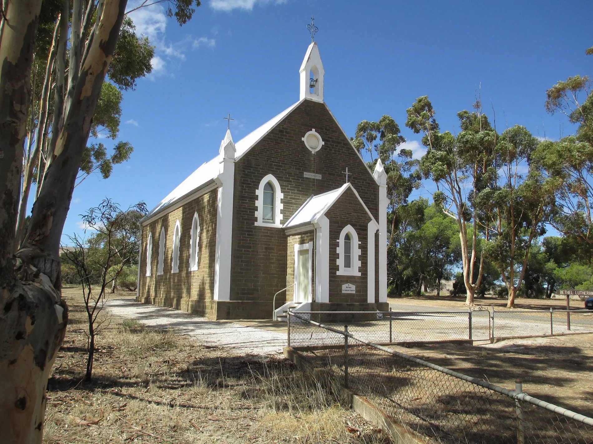
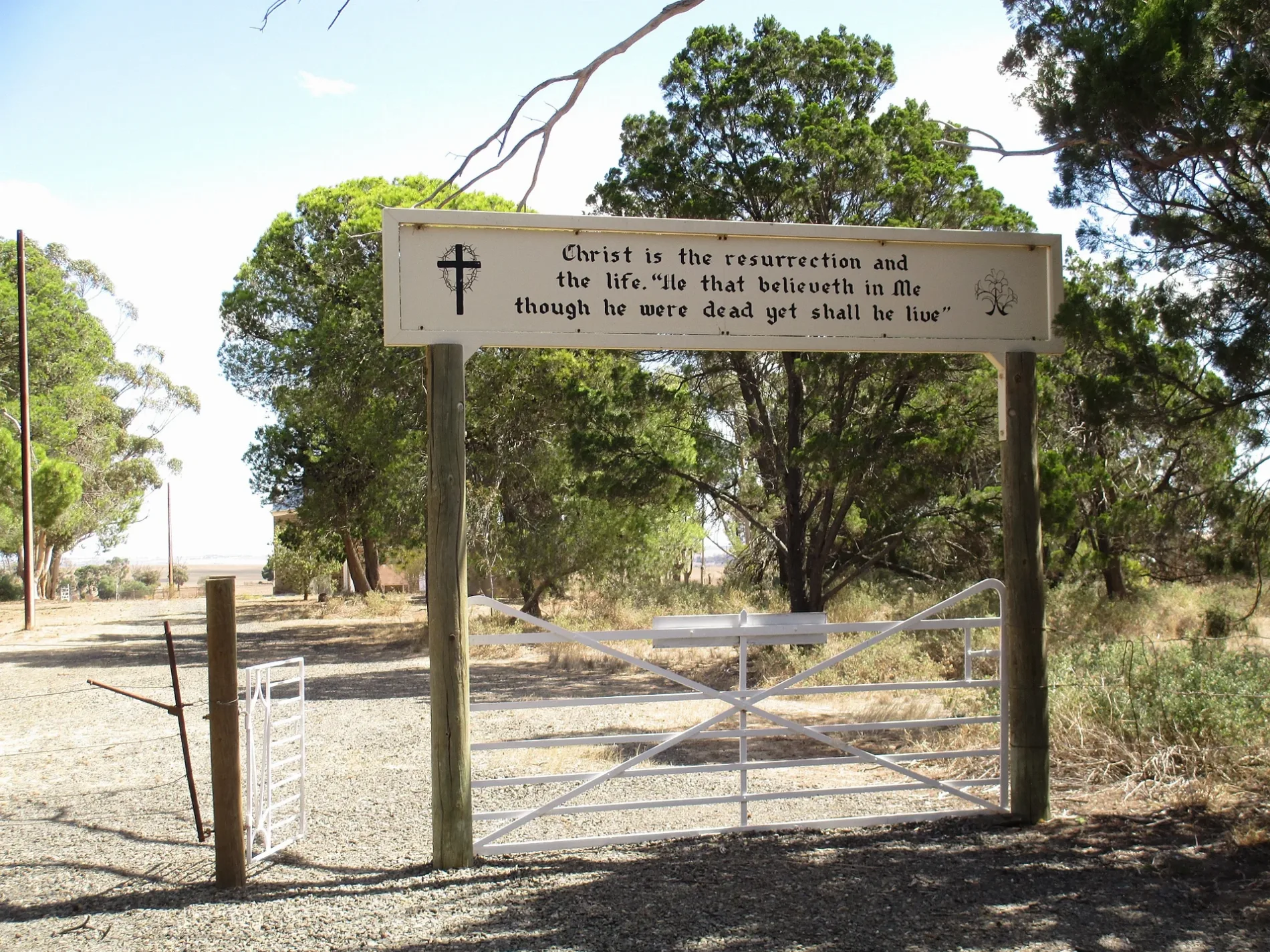
Roads in Bethel
Roads
Hogan Road
Bethel Road
Bethel
Hill Drive
Norman Road
Peltz Road
Weichert Road
Altus Road
Shoendoff Way
Tilley Road
Deep Creek Road
Church Road
Pine Creek Road
Creek Road
Doecke Road
Charles Hill Road
Range Road
Bertha Road
Wiese Road
Schmidt Road
Charles Drive
Horgan Road
Horrocks Highway
Schumaker Road
Watson Road
Fannell Creek RoadCemeteries
Places of worship
Rivers
 Public transport map Bethel Legend
| Railway | |
| Bus | |
| Tram |
 Cycling map Bethel Legend
| Cycle path | |
| Cycle lane on road | |
| Cycling on bus lane | |
| Bicycle street | |
| Cyclists allowed | |
| Cyclists allowed, good surface | |
| No cycling | |
| Cobblestones |
| Long-distance cycle route | (depending on scale) | |
| Long-distance cycle route |
 Walking map Bethel Legend
| Path |
| Long-distance hiking trail | (depending on scale) | |
| Long-distance hiking trail | ||
| No pedestrians |