
Church Road in Bethel
Church Road in Light Regional Council is a gravelled minor road. It runs in a northeast-southwest direction starting from Weichert Road and crosses Shoendoff Way and Deep Creek Road and ends at Bethel Road. Church Road also exists in Kangaroo Island Council, Pastoral Unincorporated Area, Mid Murray Council, The District Council of Karoonda East Murray and Alexandrina Council.
- Road Type
- minor road
- Route
- northeast-southwest
Image
Roads nearby
Shoendoff Way300 m
Deep Creek Road1,0 km
Schumaker Road1,2 km
Peltz Road1,6 km
Schmidt Road1,7 km
Tilley Road2,2 km
Range Road2,3 km
Hogan Road2,5 km
Charles Hill Road2,6 km
Charles Drive2,6 km
Watson Road3,0 km
Weichert Road3,0 km
Hazel Road3,1 km
Doecke Road3,2 km
Dennett Road3,3 km
Quarry Flat Road3,4 km
Pine Creek Road3,4 km
Bethel RoadBethel
3,5 km
Harris Road3,6 km
Fannell Creek Road3,6 km
Altus Road3,7 km
Oaklodge Road3,9 km
Wild Dog Hill Road4,0 km
Bertha Road4,1 km
Wiese Road4,1 km
Horgan Road4,2 km
Black Joe's Road4,4 km
Aspley Heights Road4,5 km
Creek Road4,5 km
Meaney Road5,0 km
Holthouse Road5,1 km
Wattle Tree Hill Road5,2 km
Vogt Road5,2 km
Tarlee Road5,5 km
Grant Road5,6 km
Jas Ryan Road5,8 km
Rohde Road5,8 km
Norman Road5,9 km
Ruradene Road5,9 km
Horrocks Highway5,9 km
Hill Drive6,0 km
Walpole Road6,3 km
Chapel Corner Road6,4 km
Peters Road6,4 km
The Gap Road6,4 km
Cemeteries nearby
Bethel Cemetery400 m
Steinthal Lutheran Cemetery2,3 km
Places of worship nearby
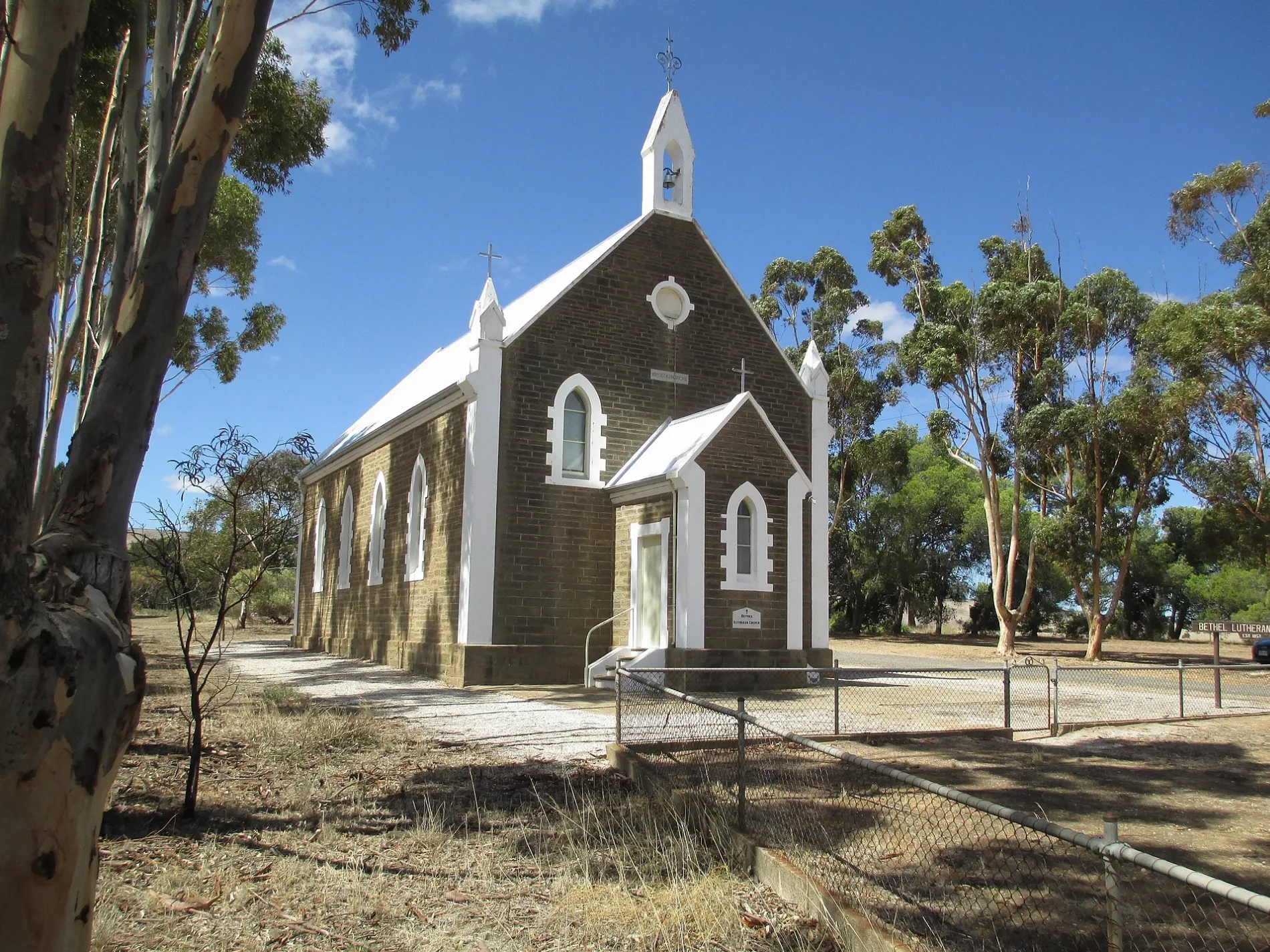
Bethel Lutheran Church300 m
Rivers nearby
Light River5,8 km
 Public transport map Bethel Legend
| Railway | |
| Bus | |
| Tram |
 Cycling map Bethel Legend
| Cycle path | |
| Cycle lane on road | |
| Cycling on bus lane | |
| Bicycle street | |
| Cyclists allowed | |
| Cyclists allowed, good surface | |
| No cycling | |
| Cobblestones |
| Long-distance cycle route | (depending on scale) | |
| Long-distance cycle route |
 Walking map Bethel Legend
| Path |
| Long-distance hiking trail | (depending on scale) | |
| Long-distance hiking trail | ||
| No pedestrians |