
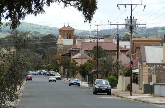
Mary Street in Kapunda
Mary Street in Light Regional Council is an unpaved residential street. It runs in a northeast-southwest direction starting from Thiele Highway and crosses McCormack Street and Strickland Street and ends at Bagot Street. Mary Street also exists in Wattle Range Council, Yorke Peninsula Council, Tatiara District Council, Port Augusta City Council and The District Council of Yankalilla.
- Road Type
- residential street
- Route
- northeast-southwest
Image
Tourist information offices
Library
Chalet
Cafés
Wine shops
Pharmacy
Artwork
Attraction
Pubs
Greengrocers
Fast food restaurants
Clothing shops
Roads nearby
Bagot Street50 m
Cameron Street150 m
Strickland Street150 m
Mugg Street250 m
Branson Crescent250 m
McCormack Street250 m
Hogan Street250 m
Blackwell Street250 m
Chapel Street300 m
Oldham Street350 m
Mine Street400 m
White Street400 m
Thiele HighwayAlma Vale, Map the Miner
400 m
Crase StreetKapunda Ghost Tours
450 m
Kapunda Mine Track450 m
South Terrace450 m
Whittaker Street450 m
Ford Street450 m
Jordan Street500 m
Amelia Street500 m
Lucas Street500 m
Christchurch Street550 m
Middlesex Street600 m
Crane Street600 m
Perry Road650 m
Smedley Street650 m
Light Street650 m
Jeffs Street700 m
Elizabeth Street700 m
Clifford Street750 m
Rowett Street800 m
Mary McKillop Walk850 m
East Terrace850 m
Shops nearby
GotaBug - Pest Removal550 m
Ford House550 m
Antique shops nearby
Sally's Treasure Hunt550 m
Bakeries nearby
Litl Mo's Bakery & Cafe650 m
Beauty salons nearby
Barossa Vine Beauty550 m
Buildings nearby
Professionals Kapunda600 m
Clothing shops nearby
Sally's Clothes Horse600 m
Craft shops nearby
Nanna's600 m
Curtain shops nearby
Defined Interiors600 m
Farm supplies shops nearby
AG Warehouse550 m
Hairdresser's nearby
Modern Image Hair & Beauty650 m
Houseware shops nearby
Koko Home600 m
Places of worship nearby
Christ Church Anglican Church200 m
Post offices nearby
Kapunda Post Office600 m
Pubs nearby
North Kapunda Hotel550 m
Restaurants nearby
Kapunda Pizza Bar650 m
 Public transport map Kapunda Legend
| Railway | |
| Bus | |
| Tram |
 Cycling map Kapunda Legend
| Cycle path | |
| Cycle lane on road | |
| Cycling on bus lane | |
| Bicycle street | |
| Cyclists allowed | |
| Cyclists allowed, good surface | |
| No cycling | |
| Cobblestones |
| Long-distance cycle route | (depending on scale) | |
| Long-distance cycle route |
 Walking map Kapunda Legend
| Path |
| Long-distance hiking trail | (depending on scale) | |
| Long-distance hiking trail | ||
| No pedestrians |