
Fifteenth Street in Renmark
Fifteenth Street in Renmark Paringa Council is a two-lane, asphalted residential street (50 km/h). It runs in a southeast-northwest direction starting from Paringa Street and crosses Cowra Street, McDonald Lane, Thurk Street, Murtho Street, Pendle Lane, Riedel Lane, Renmark Avenue, Lawton Lane, Para Street, Pyap Street and Tapio Street. It ends in a cul-de-sac. In the vicinity, you can find among other things a restaurant, a paint shop and a place of worship. The nearest bus stop in the vicinity is Renmark (approx. 350 m away). Fifteenth Street also exists in Town of Gawler.
- Road Type
- residential street
- Speed Limit
- 50
- Lanes
- 2
- Route
- southeast-northwest
Image
Restaurants
Places of worship
Roads nearby
Leslie Lane100 m
Riedel Lane150 m
Sixteenth StreetRenmark Scouts
150 m
Lawton Lane150 m
Renmark AvenueRiverland Agri Services, Paul Hutchins Loan Centre, Noodle Bento, Riverland Electrical Services, Golden Tiger Fine Food, Priceline Pharmacy, Renmark, Pendle Motors, Riverland Golden Palace Chinese Restaurant, Bollywood Boutique Hair & Beauty, Renmark Newsagency, Domino's, SPA Beautiful, Vaughans Shoe Store & Sewing Centre, Avenue Fine Jewellers, Riverland Country Style Meats, Santosha Health and Wellbeing Centre, Big River Carpets and Flooring, Sleep Zone
200 m
Murray Avenue250 m
Markham LaneCoosh & Co., Sleep Apnoea Centre Riverland, Sweet Pea & Zaidy Hair Studio
250 m
Ral Ral AvenueCinnamon Grove Vintage Creations, Foodland, Happee Health, Riverland Youth Theater, Grape Vine Book & Gift
300 m
Para StreetSportsPower
350 m
Renmark Riverfront WalkRenmark, Lion
350 m
Pyap Street450 m
Amenities nearby
Renmark Club250 m
Shops nearby
All-Tech Marine Services100 m
Apartment buildings nearby
Renmark Holiday Apartments150 m
Banks nearby
NAB200 m
Bank SA350 m
Beauty salons nearby
Surge200 m
Bookshops nearby
T. H. Books150 m
Buildings nearby
Pinyon Engineering150 m
Senator Anne Ruston200 m
Casey's Pest Control200 m
Ray White200 m
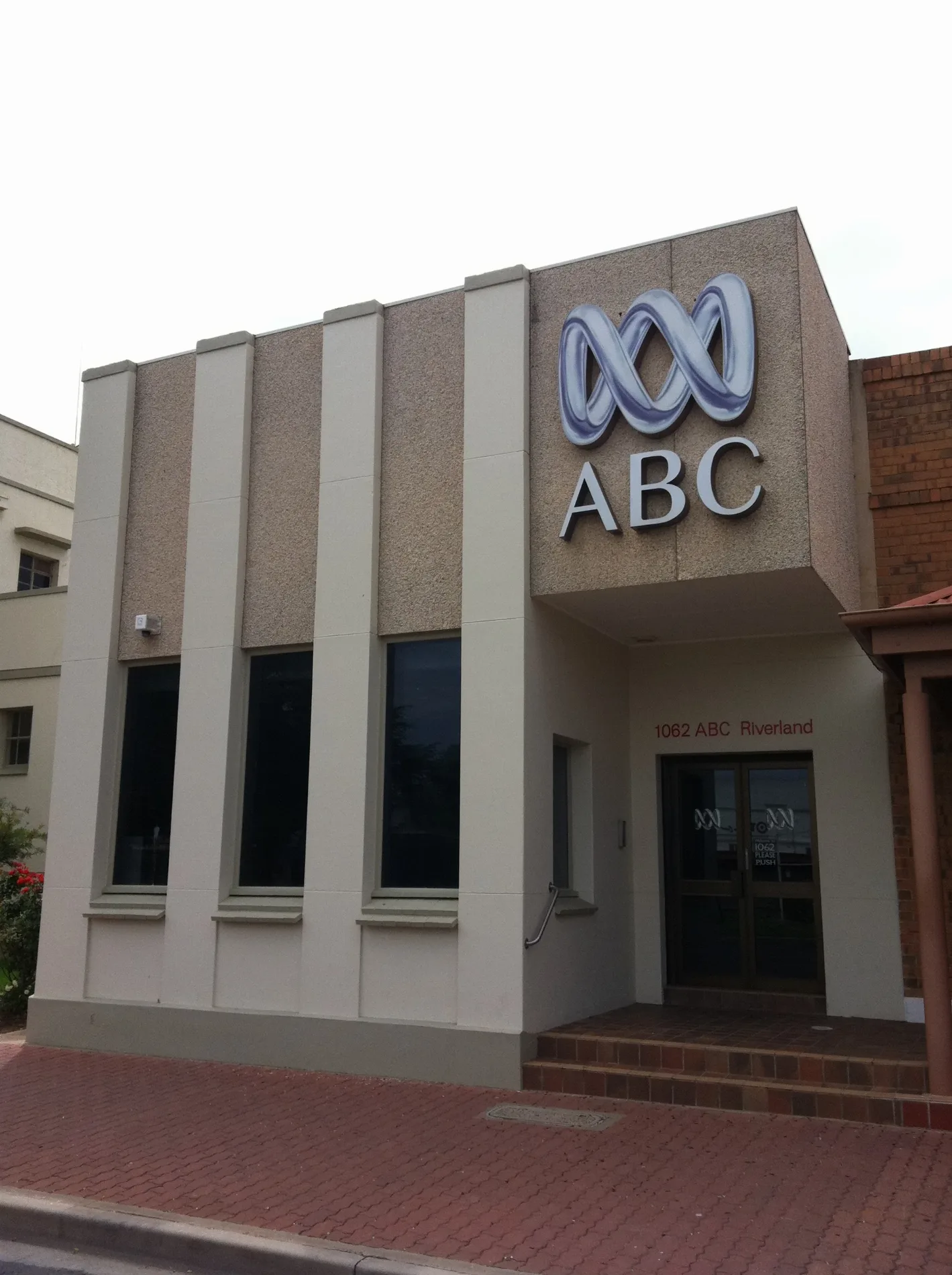
ABC Renmark350 m
Renmark RSL400 m
Car parts shops nearby
Supercheap Auto50 m
Carpet shops nearby
Carpet One150 m
Clinics nearby
Vivaci Family Chiropractic300 m
Clothing shops nearby
Frankie & Dandilion150 m
Yates Menswear250 m
Commercial buildings nearby
Chaffey Colonades200 m
Department stores nearby
Harvey Norman150 m
Fast food restaurants nearby
Renmark Fish & Chips200 m
Florist's nearby
Renmark Flower House200 m
Gift shops nearby
Henri & Cooper200 m
Serendipity200 m
Hairdresser's nearby
Hairtex 15150 m
casa Di capelli200 m
Hardware shops nearby
Thrifty Link Hardware150 m
Houseware shops nearby
Lotsa Pots150 m
Off-licences nearby
Renmark Cellars250 m
Pubs nearby
Renmark Hotel300 m
Restaurants nearby
Chill 'N' Grill150 m
Pasta on Para200 m
Retail areas nearby
Pasta on Para Outdoor Area200 m
Roof structures nearby
Wine Press100 m
Shopping malls nearby
Lefty's Mall250 m
Stadiums nearby
Renmark Boxing Club400 m
Tourist information offices nearby
Renmark Paringa Visitor Information Centre400 m
Tyre shops nearby
Riverland Tyrepower150 m
Public transport map Renmark Legend
| Railway | |
| Bus | |
| Tram |
Cycling map Renmark Legend
| Cycle path | |
| Cycle lane on road | |
| Cycling on bus lane | |
| Bicycle street | |
| Cyclists allowed | |
| Cyclists allowed, good surface | |
| No cycling | |
| Cobblestones |
| Long-distance cycle route | (depending on scale) | |
| Long-distance cycle route |
Walking map Renmark Legend
| Path |
| Long-distance hiking trail | (depending on scale) | |
| Long-distance hiking trail | ||
| No pedestrians |