
Hanna Street in Highland Green Estates, Red Deer, Alberta
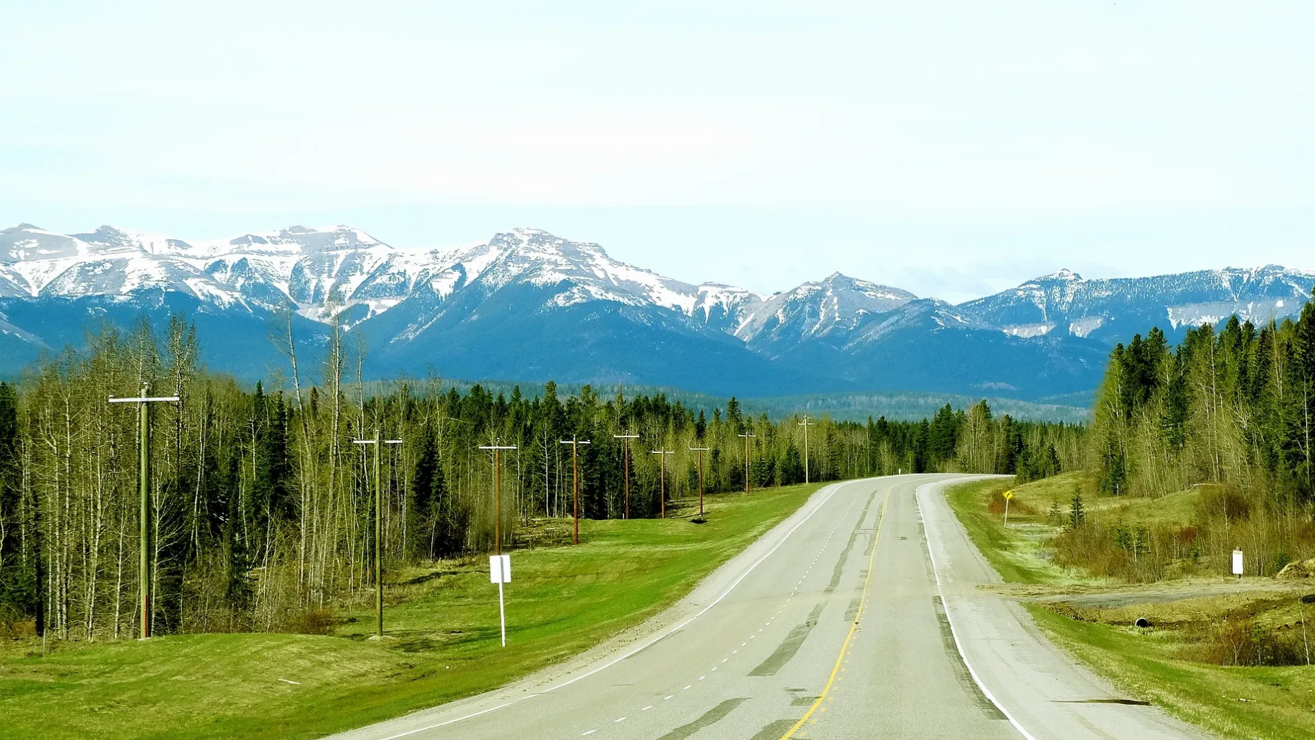
Hanna Street in City of Red Deer, Highland Green Estates is a two-lane residential street. It runs in an east-west direction starting from Harvey Close and crosses Hunter Close and ends at Halladay Avenue.
- Road Type
- residential street
- Lanes
- 2
- Route
- east-west
Image
Pharmacy
Car repair shops
Fire station
Furniture shops
Cannabis shops
Fast food restaurants
Bus stops
Pet shops
Clothing shops
Post offices
Police stations
Lighting shops
Restaurants
Off-licences
Beauty salons
Cafés
Roads nearby
Hunter Close100 m
Heath Close200 m
Harvey Close200 m
Halladay Avenue250 m
Hart Crescent250 m
Hall Crescent250 m
Huget Crescent300 m
Hallgren Avenue300 m
66 Street Close350 m
58 Avenue350 m
Parkside Drive350 m
Parkview Avenue350 m
Holmes Street350 m
52 AvenueCanadian Tire Auto, Shoppers Drug Mart, Canada Post
400 m
Hill Crescent400 m
65 Street400 m
67 StreetEastbound 67 Street @ 52 Avenue, Red Deer Fire & Emergency Services Station #2, GRC, Eastbound 67 Street @ 58 Avenue, Starbucks
450 m
Pinewood Close450 m
Hermary StreetWestbound Hermary Street @ Halladay Avenue, Westbound Hermary Street @ 52 Avenue, Eastbound Hermary Street @ 59 Avenue
450 m
59 AvenueNorthbound 59 Avenue @ Hermary Street, Southbound 59 Avenue @ 64 Street, Highland Green, Northbound 59 Avenue @ Holt Street
500 m
Nelson Street500 m
Newcombe Crescent550 m
64 Street550 m
60 Avenue550 m
Nagel Avenue550 m
Gaetz AvenueThe Keg, Northbound Gaetz Avenue @ Piper Drive, Northbound Gaetz Avenue @ Parkland Mall
550 m
Neilly Avenue600 m
Gaetz Avenue SouthwestGlobal Pet Foods, Moores, Southbound Gaetz Avenue @ Parkland Mall, Memphis Blues BBQ House, Village Mall @ Service Road
600 m
63 Street650 m
63A Street650 m
61 Street650 m
Holt Street650 m
Neal Close650 m
51 Avenue700 m
Norris Close700 m
Riverview AvenueNorthbound 54 Avenue @ 60 Street
700 m
60A Street700 m
Nash Street700 m
68 StreetATB Financial, Tim Hortons, Fire & Flower
750 m
Neville Close750 m
Banks nearby
TD Canada Trust550 m
Cemeteries nearby
Mount Calivery Catholic Cemetery300 m
Department stores nearby
Canadian Tire400 m
Fast food restaurants nearby
A&W550 m
Petrol stations nearby
Fas Gas450 m
Places of worship nearby
Lutheran Church of the Good Shepherd200 m
Retail buildings nearby
The Soul Center700 m
Supermarkets nearby
Sobeys450 m
Save-On-Foods500 m
Public transport map Highland Green Estates Legend
| Railway | |
| Bus | |
| Tram |
Cycling map Highland Green Estates Legend
| Cycle path | |
| Cycle lane on road | |
| Cycling on bus lane | |
| Bicycle street | |
| Cyclists allowed | |
| Cyclists allowed, good surface | |
| No cycling | |
| Cobblestones |
| Long-distance cycle route | (depending on scale) | |
| Long-distance cycle route |
Walking map Highland Green Estates Legend
| Path |
| Long-distance hiking trail | (depending on scale) | |
| Long-distance hiking trail | ||
| No pedestrians |