
Area C (Butedale/Kitlope/Kitsumkalum), British Columbia
Area C (Butedale/Kitlope/Kitsumkalum) is located in Regional District of Kitimat-Stikine. Area C (Butedale/Kitlope/Kitsumkalum) has around 8.784 streets. Among other things, Area C (Butedale/Kitlope/Kitsumkalum) has public transport and attractions.
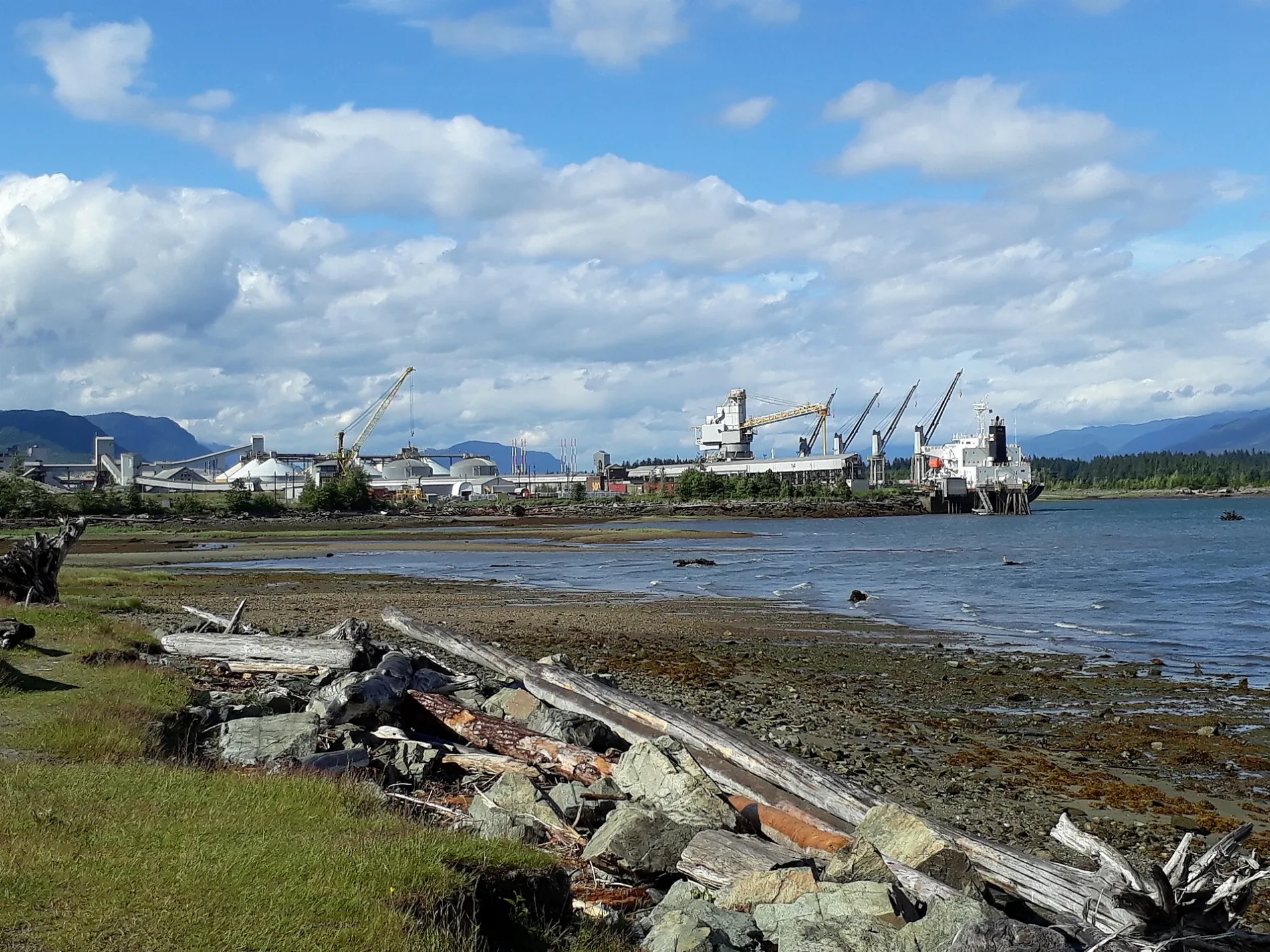
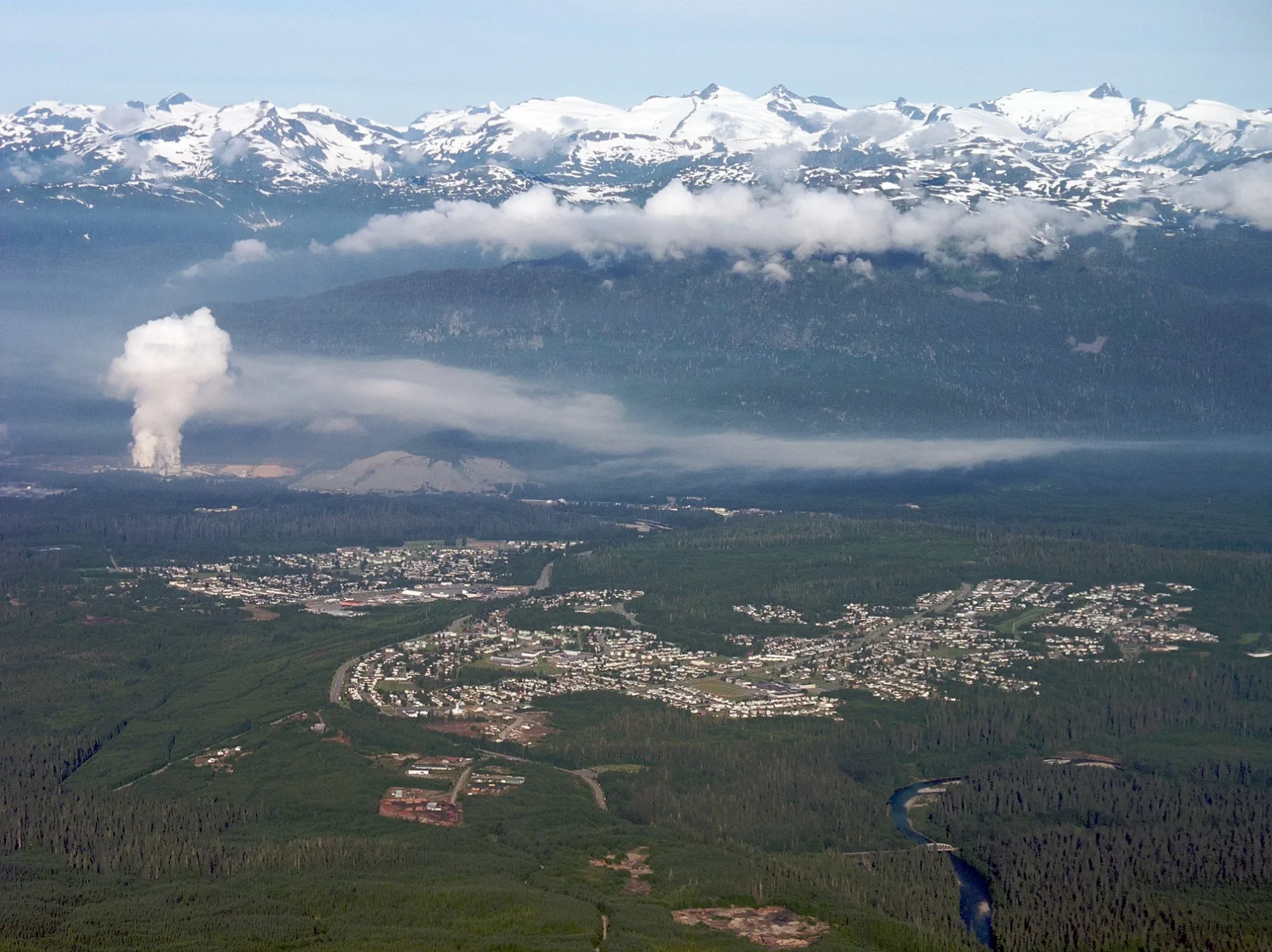
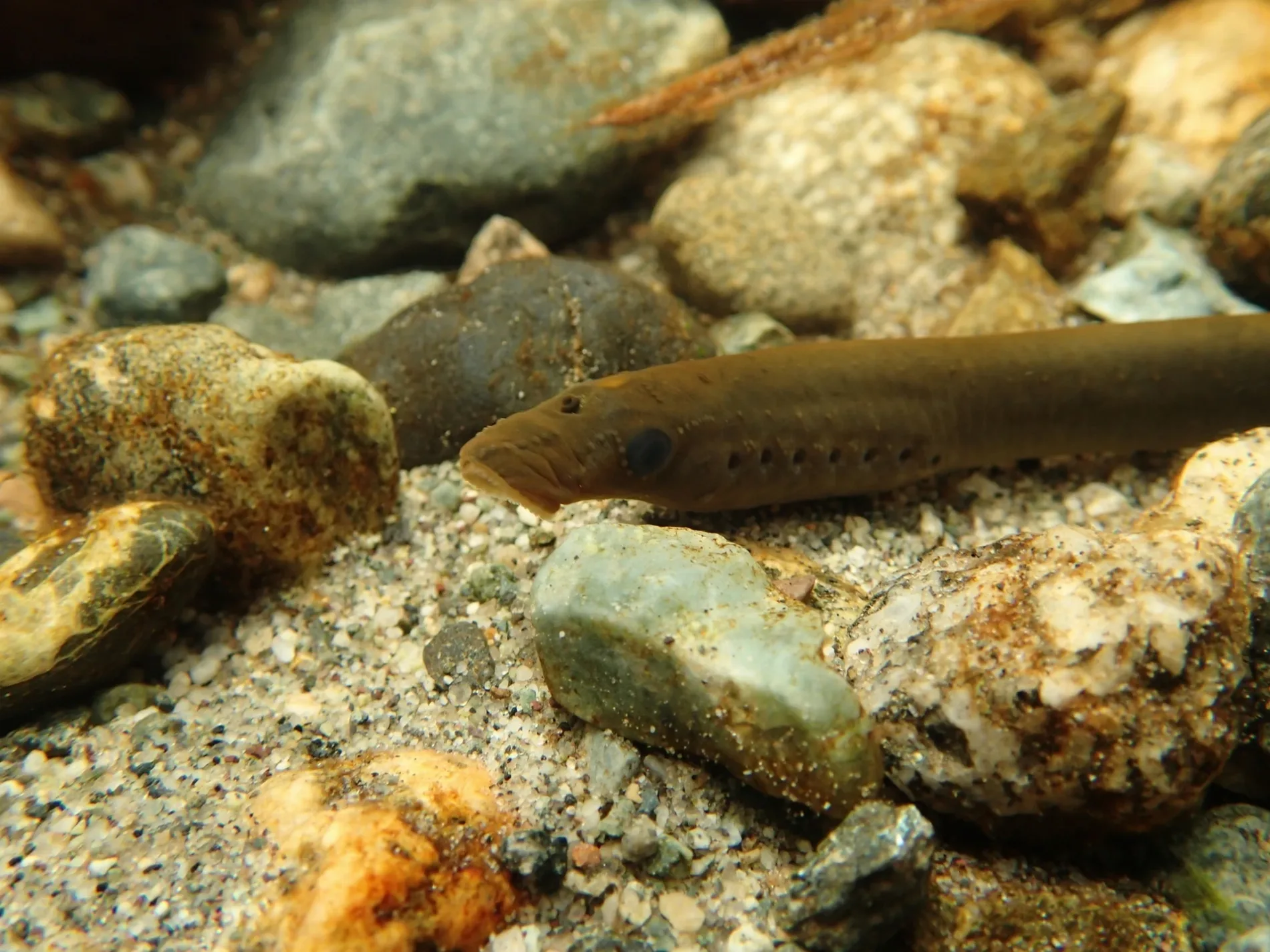
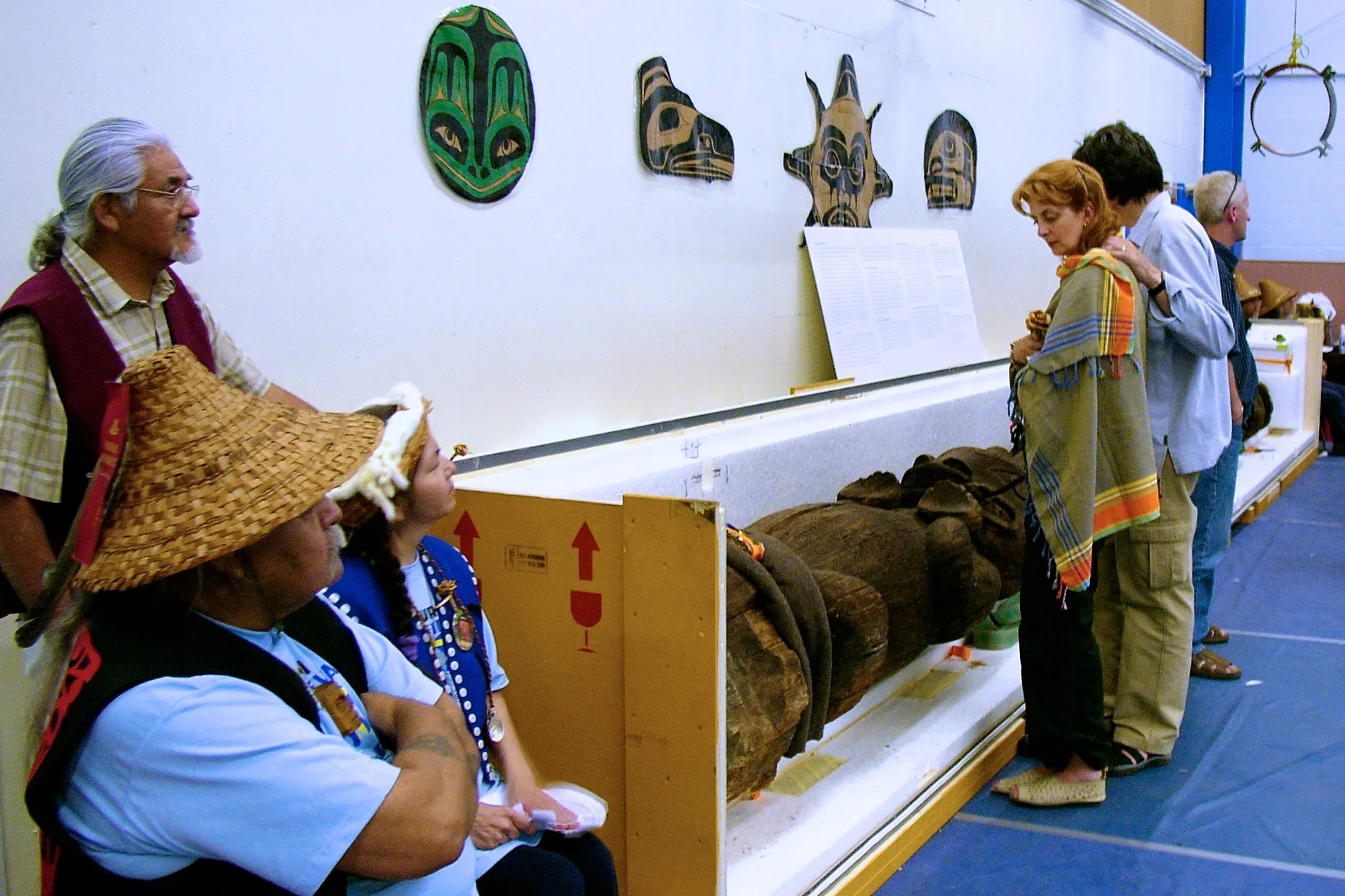
Photos from Area C (Butedale/Kitlope/Kitsumkalum)
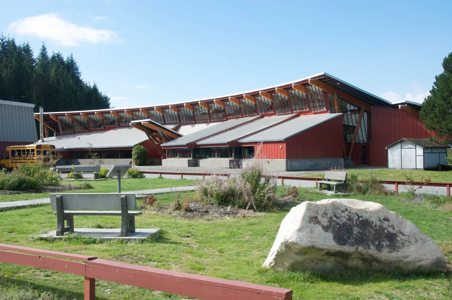
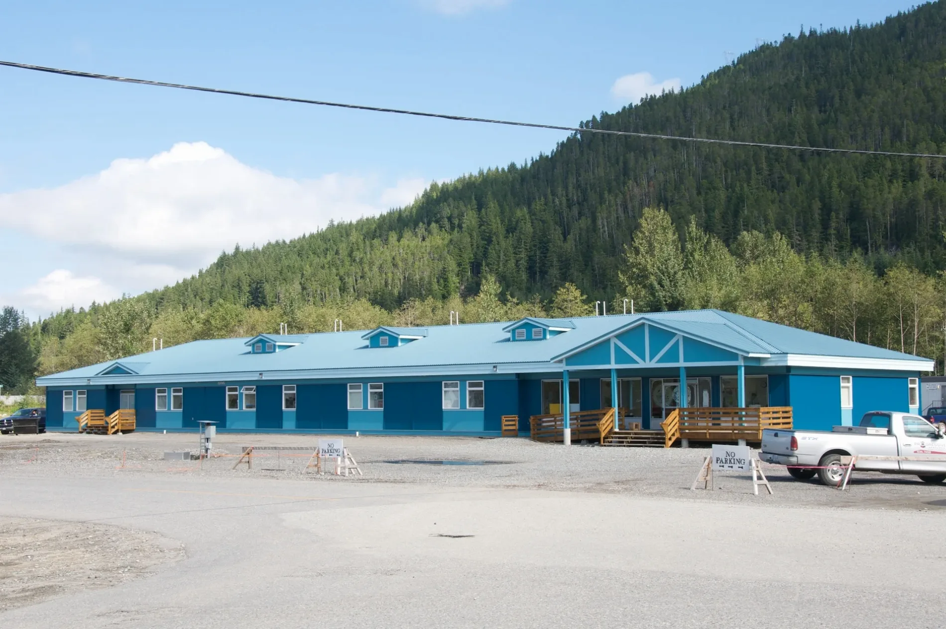
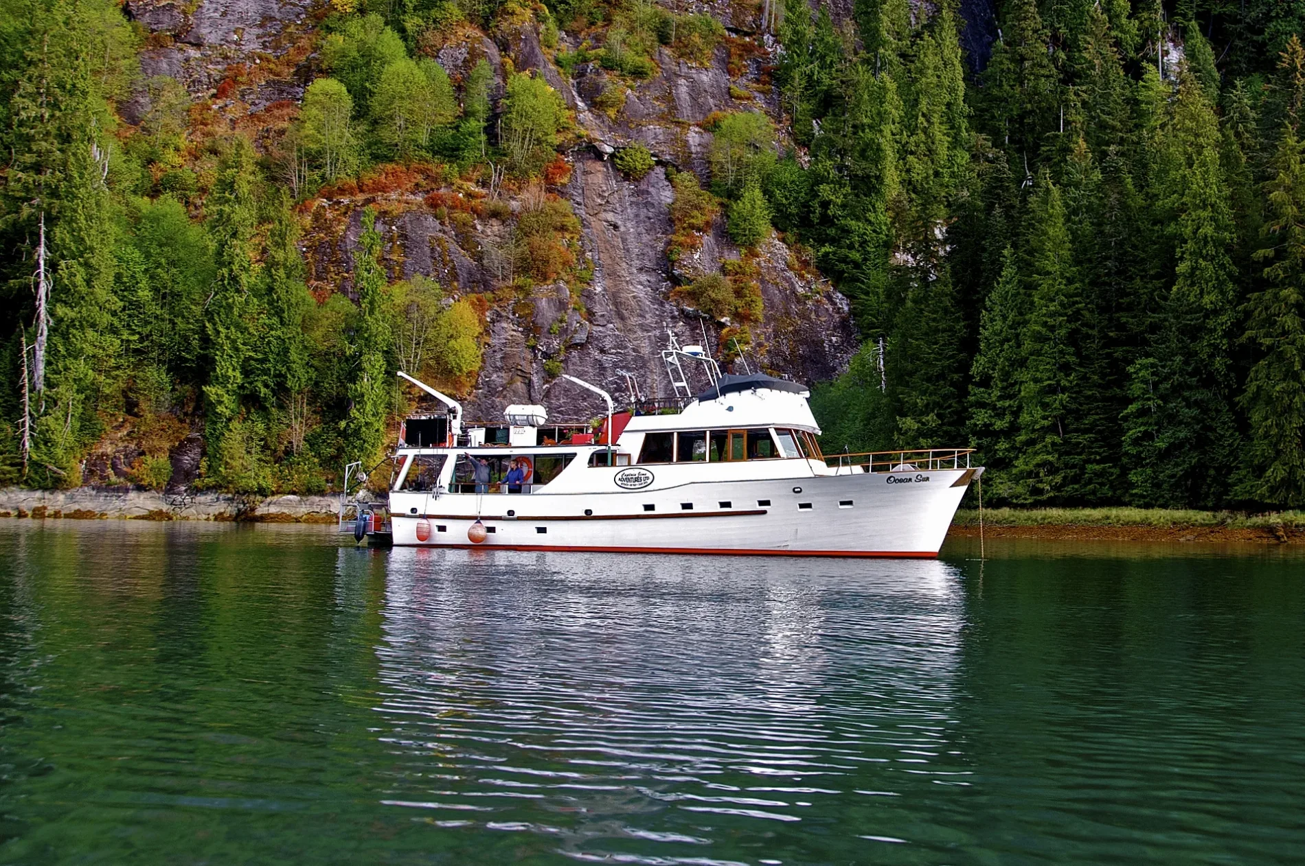
Area C (Butedale/Kitlope/Kitsumkalum)
This City map covers Area C (Butedale/Kitlope/Kitsumkalum), an unincorporated area in the Regional District of Kitimat-Stikine in northwestern British Columbia, Canada. The map shows roads, paths and places across a large region extending from the coastal islands and inlets around Butedale to the inland valleys of Kitlope and Kitsumkalum. Area C includes remote settlements, river valleys, protected lands and access routes connected with the communities of Kitimat and Terrace. Its geography is defined by the Coast Mountains, coastal rainforest and waterways flowing toward the Douglas Channel and the Skeena River system.
Butedale
Butedale is a former fishing and salmon-canning settlement on the eastern coast of Princess Royal Island, west of the mainland community of Kitimat. The site lies on Butedale Bay within the complex coastal geography of British Columbia’s Inside Passage, where steep forested slopes meet narrow marine channels.
Butedale developed around a fish cannery and associated buildings during the early 20th century, but the settlement is now largely abandoned. Its remaining structures and industrial traces document the history of coastal fishing and canning in the province, while access is primarily by boat because there is no public road connection to Kitimat or Terrace.
To mapKitlope
Kitlope refers to the remote Kitlope valley and the Kitlope River in the Coast Mountains of northwestern British Columbia. The river flows through the Kitlope Heritage Conservancy toward the head of the Douglas Channel, and the valley lies within the traditional territory of the Haisla Nation.
The Kitlope Heritage Conservancy protects approximately 322,000 hectares of temperate rainforest, alpine terrain and river habitat. The area is recognized for its largely intact coastal ecosystem and has no permanent public-road network linking it with Kitimat, so travel into the valley depends on waterways, aircraft and wilderness routes.
To mapKitsumkalum
Kitsumkalum is a community and river valley west of Terrace in the Regional District of Kitimat-Stikine. The Kitsumkalum River flows from the Coast Mountains toward the Skeena River, and the Kitsumkalum Indian Band, a Tsimshian community, is based in the area.
The valley is connected to Terrace and Kitimat by the regional road network and lies near the lower Skeena corridor, one of northwestern British Columbia’s major transportation and settlement zones. Kitsumkalum’s landscape includes forested mountain slopes, river floodplains and salmon-bearing waterways associated with the Skeena watershed.
To mapData sources: OpenStreetMap (ODbL), Wikidata (CC0)
Roads in Area C (Butedale/Kitlope/Kitsumkalum), British Columbia
Roads
Body of waters
Buildings
Cabins
Campsite
Commercial buildings
Military areas
Nature reserves
Petrol stations
Residential areas
Restaurants
Streams
Water parks
| Railway | |
| Bus | |
| Tram |
| Cycle path | |
| Cycle lane on road | |
| Cycling on bus lane | |
| Bicycle street | |
| Cyclists allowed | |
| Cyclists allowed, good surface | |
| No cycling | |
| Cobblestones |
| Long-distance cycle route | (depending on scale) | |
| Long-distance cycle route |
| Path |
| Long-distance hiking trail | (depending on scale) | |
| Long-distance hiking trail | ||
| No pedestrians |