
Gitksan Avenue in Area C (Butedale/Kitlope/Kitsumkalum), British Columbia
Gitksan Avenue in Area C (Butedale/Kitlope/Kitsumkalum) is a two-lane tertiary road. It runs in a southeast-northwest direction starting from Owekeno Street and crosses Kitamaat Village Road and Jassee Street. It ends in a cul-de-sac. In the vicinity, you can find a town hall and a fire station.
- Road Type
- tertiary road
- Lanes
- 2
- Route
- southeast-northwest
Image
Roads nearby
Kwakuitl Avenue150 m
Owekeno Street150 m
Haisla Avenue300 m
Jassee StreetKitamaat
300 m
Owekeno AvenueHaisla
350 m
Wathl Creek Road450 m
Sunahead Avenue500 m
Kitlope Avenue500 m
Iachala Heights550 m
Minette Bay Road650 m
Wekellas Avenue800 m
Bish Creek Forest Service Road3,6 km
Tug Berth Road4,1 km
South Haul Road4,4 km
Kitamaat Village Road5,2 km
Loganberry Street5,9 km
Alcan Road6,3 km
Central Haul Road6,3 km
TCF Road6,3 km
TCF Loop6,4 km
CVL Road6,5 km
CVL Pond Road6,5 km
CMT Main Loop6,7 km
Perimeter Road6,7 km
Ocelot Road6,8 km
West Terminal Road6,9 km
Robinson Lake Trail7,1 km
Elderberry Street7,1 km
Dewberry Street7,3 km
Buildings nearby
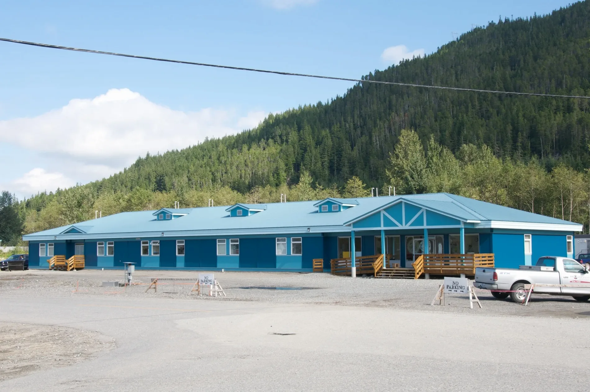
Gya'wa'tlaab Healing Centre Society250 m
Minette Bay Lodge6,7 km
Industrial areas nearby
Rio Tinto Alcan (Alcan)3,8 km
Snow Valley Marine Services LTD5,9 km
LNG Canada6,7 km
Marinas nearby
MK Bay Marina700 m
Parks nearby
Minette Bay West Park6,2 km
Railway lines nearby
CNR4,1 km
Kitimat Subdivision4,4 km
CNR Moore Creek5,0 km
CNR Anderson Creek5,9 km
Rivers nearby
Kitimat River6,2 km
Streams nearby
Bolton Creek3,4 km
Wathl Creek3,6 km
Morrison Creek3,6 km
Wathlsto Creek3,6 km
Moore Creek5,3 km
Minette Bay Creek6,0 km
Pine Creek6,8 km
Other nearby
Alcan Dock4,1 km
Public transport map Area C (Butedale/Kitlope/Kitsumkalum) Legend
| Railway | |
| Bus | |
| Tram |
Cycling map Area C (Butedale/Kitlope/Kitsumkalum) Legend
| Cycle path | |
| Cycle lane on road | |
| Cycling on bus lane | |
| Bicycle street | |
| Cyclists allowed | |
| Cyclists allowed, good surface | |
| No cycling | |
| Cobblestones |
| Long-distance cycle route | (depending on scale) | |
| Long-distance cycle route |
Walking map Area C (Butedale/Kitlope/Kitsumkalum) Legend
| Path |
| Long-distance hiking trail | (depending on scale) | |
| Long-distance hiking trail | ||
| No pedestrians |