
Breezy Lane in Lake Echo, Nova Scotia
Breezy Lane in Lake Echo is a two-lane residential street. It runs in a southeast-northwest direction and ends at Highway 7, while the other end is a cul-de-sac.
- Road Type
- residential street
- Lanes
- 2
- Route
- southeast-northwest
Image
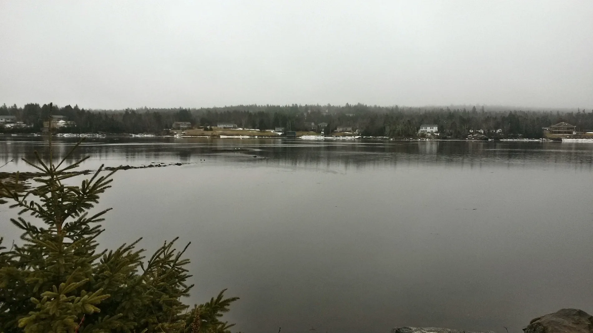
Roads nearby
Kings Way150 m
Old Lake Echo Road150 m
Sunrise Drive150 m
John Wood Road200 m
Snow White Drive250 m
Doc Avenue350 m
Dopey Lane400 m
Lakefront Drive450 m
Sneezy Avenue450 m
Bashful Avenue450 m
Faber Crescent450 m
Happy Drive500 m
Sleepy Lane500 m
Ponderosa Drive550 m
Grumpy Lane550 m
Circle Drive600 m
Linda Lane700 m
Theresa Court700 m
Patricia Place750 m
Mountain View Drive750 m
Churchlake Drive750 m
Kenzie Ridge800 m
Lydia Lane800 m
Beech Hill Drive800 m
River Drive850 m
Roland Norwood Drive900 m
Martin Lake DriveLake Echo
900 m
Joyce Court950 m
Marie Avenue950 m
Robina Drive950 m
Thomas Street1000 m
Benjamin Boulevard1,1 km
Bumpy Lane1,1 km
Jenking Boulevard1,1 km
Highway 7Complete Care Hospital for Pets, 8918 - Hwy 7 Before Circle Dr, 8780 - Hwy 7 After Circle Dr, 8917 - Hwy 7 At Civic 3351, 8781 - Hwy 7 At Civic 3372, 8817 - Hwy 7 After Hummingbird Dr, 8922 - Hwy 7 Opposite Canopy Lane, 8776 - Hwy 7 After Canopy Ln, 8921 - Hwy 7 Before Robina Dr, 8777 - Hwy 7 After Robina Dr, Echo Pizza, 8778 - Hwy 7 After Linda Ln, 8920 - Hwy 7 Before Martin Lake Dr, 8919 - Hwy 7 After Kings Way, 8779 - Hwy 7 Before Kings Way
1,2 km
Macfarlane Street1,2 km
Body of waters nearby
McCoys Pond700 m
Clothing shops nearby
Kimberley Anne's Boutique400 m
Commercial buildings nearby
Mountainview Estates Office700 m
Community centres nearby
Lake Echo Community Centre250 m
Fire stations nearby
Fire Station 21 - Lake Echo Fire Station900 m
Garden centres nearby
Norwood Gardens700 m
Parks nearby
Lake Echo Community Play Park350 m
Bluerock Road Park550 m
Places of worship nearby
Saint Anne's Church350 m
Service buildings nearby
Bell Aliant Lake Echo LKEONS01RS1250 m
Sports pitches nearby
Wonderland Trailer Park #1350 m
Bob Norwood Memorial (Wonderland Trailer Park #2)400 m
Streams nearby
Salmon River1,3 km
 Public transport map Lake Echo Legend
| Railway | |
| Bus | |
| Tram |
 Cycling map Lake Echo Legend
| Cycle path | |
| Cycle lane on road | |
| Cycling on bus lane | |
| Bicycle street | |
| Cyclists allowed | |
| Cyclists allowed, good surface | |
| No cycling | |
| Cobblestones |
| Long-distance cycle route | (depending on scale) | |
| Long-distance cycle route |
 Walking map Lake Echo Legend
| Path |
| Long-distance hiking trail | (depending on scale) | |
| Long-distance hiking trail | ||
| No pedestrians |