
Linda Lane in Lake Echo, Nova Scotia
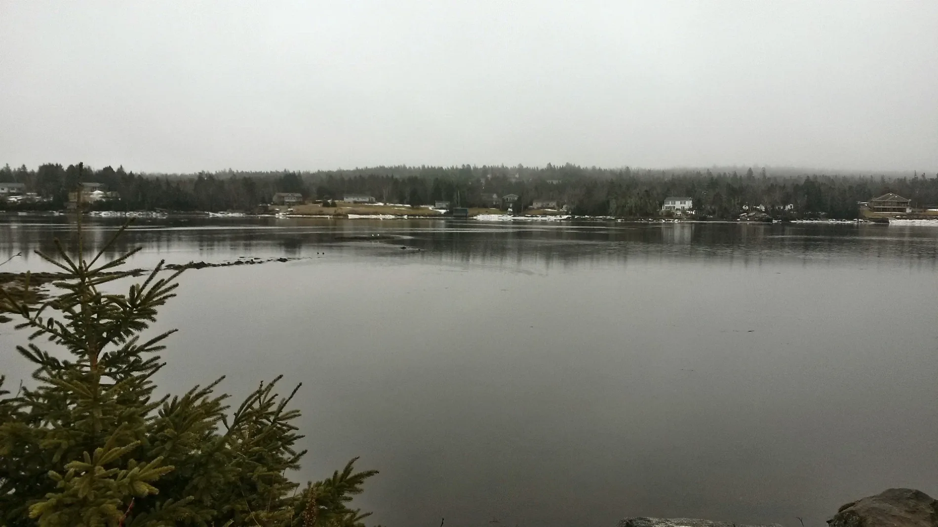
Linda Lane in Lake Echo is a single-lane, unpaved residential street. It runs in a southeast-northwest direction starting from Highway 7.
- Road Type
- residential street
- Lanes
- 1
- Route
- southeast-northwest
Image
Roads nearby
Lydia Lane100 m
Kenzie Ridge150 m
Theresa Court300 m
Robina Drive300 m
Faber Crescent400 m
Beech Hill Drive450 m
Patricia Place550 m
Marie Avenue650 m
Kings Way650 m
Old Lake Echo Road650 m
John Wood Road700 m
Breezy Lane700 m
Lakefront Drive700 m
Martin Lake DriveLake Echo
700 m
Roland Norwood Drive750 m
Macfarlane Street750 m
Sunrise Drive800 m
Canopy Lane800 m
Thomas Street800 m
River Drive800 m
Highway 78922 - Hwy 7 Opposite Canopy Lane, 8776 - Hwy 7 After Canopy Ln, Complete Care Hospital for Pets, 8918 - Hwy 7 Before Circle Dr, 8780 - Hwy 7 After Circle Dr, 8917 - Hwy 7 At Civic 3351, 8781 - Hwy 7 At Civic 3372, 8817 - Hwy 7 After Hummingbird Dr, 8921 - Hwy 7 Before Robina Dr, 8777 - Hwy 7 After Robina Dr, Echo Pizza, 8778 - Hwy 7 After Linda Ln, 8920 - Hwy 7 Before Martin Lake Dr, 8919 - Hwy 7 After Kings Way, 8779 - Hwy 7 Before Kings Way
800 m
Joyce Court800 m
Ponderosa Drive850 m
Arbor Hill850 m
Benjamin Boulevard900 m
Snow White Drive900 m
Jenking Boulevard1000 m
Doc Avenue1,0 km
Bluerock RoadSt Augustine's Anglican Church
1,0 km
Dopey Lane1,1 km
Churchlake Drive1,1 km
Bashful Avenue1,1 km
Sneezy Avenue1,1 km
Happy Drive1,1 km
Sleepy Lane1,2 km
Grumpy Lane1,2 km
Circle Drive1,2 km
Body of waters nearby
Salmon River650 m
McCoys Pond1,1 km
Clothing shops nearby
Kimberley Anne's Boutique1,0 km
Community centres nearby
Lake Echo Community Centre450 m
Fire stations nearby
Fire Station 21 - Lake Echo Fire Station250 m
Garden centres nearby
Norwood Gardens600 m
Parks nearby
Bluerock Road Park800 m
Lake Echo Community Play Park900 m
Places of worship nearby
Saint Anne's Church750 m
Service buildings nearby
Bell Aliant Lake Echo LKEONS01RS1750 m
Sports pitches nearby
Wonderland Trailer Park #1900 m
Bob Norwood Memorial (Wonderland Trailer Park #2)1000 m
 Public transport map Lake Echo Legend
| Railway | |
| Bus | |
| Tram |
 Cycling map Lake Echo Legend
| Cycle path | |
| Cycle lane on road | |
| Cycling on bus lane | |
| Bicycle street | |
| Cyclists allowed | |
| Cyclists allowed, good surface | |
| No cycling | |
| Cobblestones |
| Long-distance cycle route | (depending on scale) | |
| Long-distance cycle route |
 Walking map Lake Echo Legend
| Path |
| Long-distance hiking trail | (depending on scale) | |
| Long-distance hiking trail | ||
| No pedestrians |