
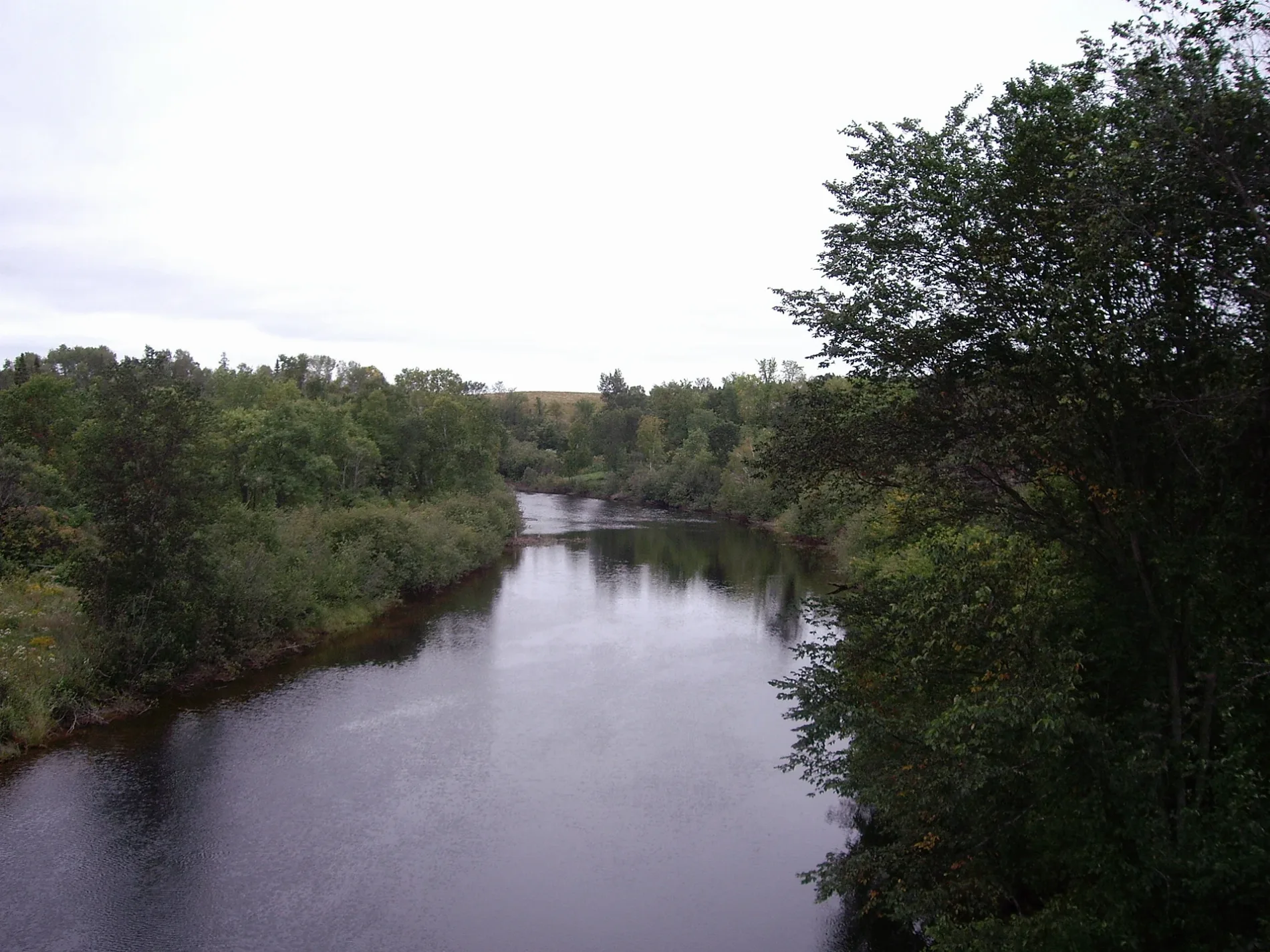
Magnetawan River in Kearney, Ontario
Magnetawan River in Kearney is a stream. Magnetawan River also exists in Ryerson Township, Magnetawan, Whitestone, Armour Township and Perry Township. Ⓦ.
- Waterway Type
- stream
Image
Convenience stores
Caravan site
Post offices
Pubs
Tourist information offices
Library
Fast food restaurants
Laundries
Restaurants
Hotels
Town hall
Off-licences
Fire station
Roads nearby
Tower Road200 m
East Lake Road1,8 km
Forestry Tower Road2,5 km
Old Highway 518 East4,1 km
Hwy 5184,4 km
Chickadee Lane4,5 km
Edgewater Park Road4,5 km
Chickadee Drive4,6 km
Perry's RoadRed Canoe Restaurant
4,7 km
Boat Launch RoadSandhurst General Store
4,7 km
Buckleys Road4,8 km
Meadow LoopSand Lake Nature Preserve Trail Map
4,8 km
Main Loop4,8 km
Forest Loop4,8 km
Chipmunk Lane4,9 km
Generation Lane5,2 km
Sand Lake RoadSand Lake, Sand Lake Cottages & Inn
5,2 km
Memory Lane5,2 km
Grass Lake Road5,3 km
Cashman Creek Road5,6 km
Higgin's Road5,6 km
Little Lane5,7 km
Body of waters nearby
Little Whetstone Lake2,7 km
Lower Raven Lake3,1 km
Spruce Lake3,4 km
Wilkins Lake3,7 km
Upper Raven Lake3,8 km
Little Patterson Lake4,0 km
Irving Lake5,5 km
Long Lake5,7 km
Campsite nearby
Silver Sand Resort5,5 km
Caravan site nearby
Sandhurst Resort4,5 km
Cemeteries nearby
Sand Lake Pioneer Log Church Cemetery5,5 km
Detached houses nearby
Cardinal4,8 km
Purple Martin4,8 km
Chickadee4,8 km
Blue Bird4,8 km
Osprey4,8 km
Woodpecker4,8 km
Whiskey Jack4,9 km
Humming Bird4,9 km
Hotels nearby
Edgewater Park Lodge4,6 km
Motel nearby
Edgewater Park Motel4,6 km
Places of worship nearby
Sand Lake United Church5,6 km
Semi-detached houses nearby
Blue Heron4,9 km
Loon4,9 km
Streams nearby
Cashman Creek5,2 km
Woodlands nearby
Blueberry Island5,2 km
Wegilbomac Island5,4 km
| Length | 175 |
|---|---|
| Located in | Ontario |
| Country | Canada |
| Mouth | Byng Inlet |
| Tributary | North Magnetawan River, Jenkins Creek |
 Public transport map Kearney Legend
| Railway | |
| Bus | |
| Tram |
 Cycling map Kearney Legend
| Cycle path | |
| Cycle lane on road | |
| Cycling on bus lane | |
| Bicycle street | |
| Cyclists allowed | |
| Cyclists allowed, good surface | |
| No cycling | |
| Cobblestones |
| Long-distance cycle route | (depending on scale) | |
| Long-distance cycle route |
 Walking map Kearney Legend
| Path |
| Long-distance hiking trail | (depending on scale) | |
| Long-distance hiking trail | ||
| No pedestrians |