
Trent-Severn Waterway in Brock, Ontario
Trent-Severn Waterway in Brock is a canal. Trent-Severn Waterway is also known as Trentkanal. Ⓦ.
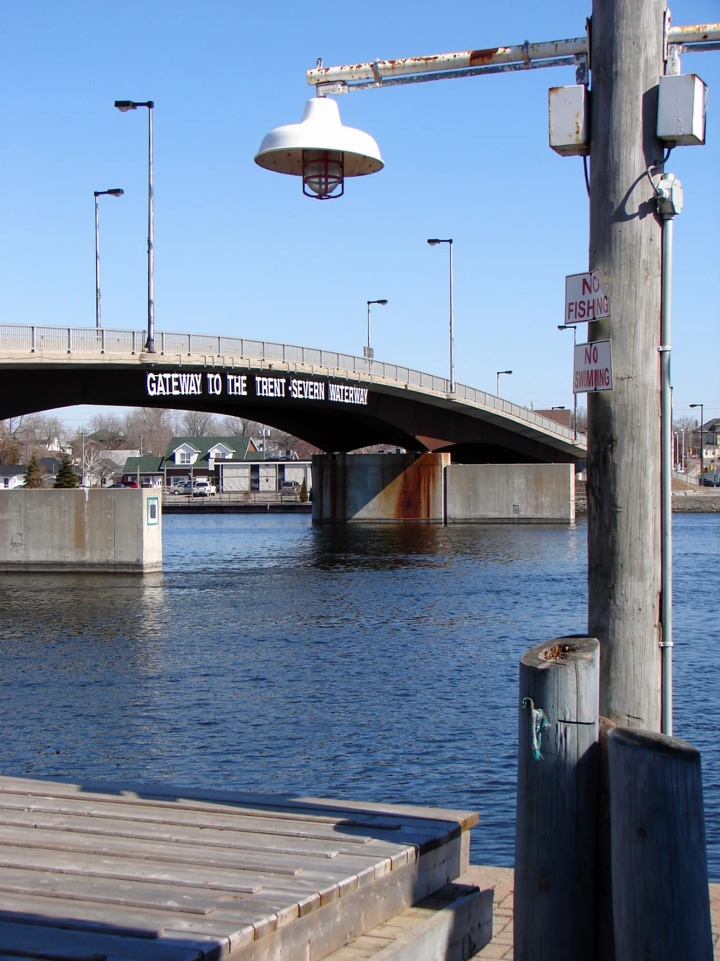
- Waterway Type
- canal
Restaurants
Garden centres
Ice cream parlours
Bakeries
Hairdressers
Antique shops
Car dealerships
Hardware shops
Opticians
Cinema
Pubs
Pharmacy
Roads nearby
Hazel Street1,2 km
Newton Avenue1,2 km
Talbot RoadGamebridge
1,4 km
Ethel Drive1,4 km
Regional Road 511,4 km
Regional Road 50Talbot
1,4 km
Township Road 511,5 km
Highway 12Community Pentecostal Chruch
1,5 km
Thorah Concession 10 Road1,6 km
Canal Road1,8 km
Brock Concession Road 101,9 km
Thorah SideroadFisher's Auto Sales & Service
1,9 km
Regional Highway 48National Moparts
2,0 km
Furniss Drive2,3 km
Concession Road 12,3 km
Township Concession Road B2,3 km
Thorah Concession Road 112,4 km
Shier Avenue2,4 km
Ball Street2,5 km
Ball Avenue West2,5 km
Concession Road A2,6 km
Ball Avenue East2,7 km
5 Sideroad2,9 km
Concession Road B3,0 km
Thorah Concession Road 93,4 km
Talbot Lane3,4 km
Shoreline Road3,5 km
Concession Road 23,8 km
Former alignment of Kings Highway 48 (1937-1966) and 12 (1937-1954)3,9 km
Stone Gate Road4,0 km
Ramara Road 47Ramara Township Public Library - Brechin Branch
4,1 km
Stephen Drive4,2 km
Furniss Crescent4,3 km
Suntrac Drive4,5 km
Meadowlark Court4,5 km
Regional Road 234,5 km
Thorah Concession Road 84,6 km
Bayview Drive4,7 km
Park Side4,7 km
Abandoned railways nearby
Grand Trunk2,9 km
Canals nearby
Lock 40 - Thorah350 m
Lock 39 - Portage450 m
Lock 41 - Gamebridge1,4 km
Lock 38 - Talbot2,9 km
Golf courses nearby
Fair Havens Ministries3,5 km
Parks nearby
Thorah Centennial Park3,6 km
Railway lines nearby
CN Bala Subdivision2,6 km
Sports centres nearby
Gamebridge Go-Karts / Brechin Motorsport Park3,6 km
Streams nearby
Talbot River1,1 km
| Heritage designation | national historic site of Canada |
|---|---|
| Located in | Ontario |
| Country | Canada |
| Website | https://www.pc.gc.ca/en/lhn-nhs/on/trentsevern |
| Has part | Trent River, Rice Lake, Otonabee River, Kawartha Lakes, Sturgeon Lake, Talbot River, Lake Simcoe, Severn River |
Public transport map Brock Legend
| Railway | |
| Bus | |
| Tram |
Cycling map Brock Legend
| Cycle path | |
| Cycle lane on road | |
| Cycling on bus lane | |
| Bicycle street | |
| Cyclists allowed | |
| Cyclists allowed, good surface | |
| No cycling | |
| Cobblestones |
| Long-distance cycle route | (depending on scale) | |
| Long-distance cycle route |
Walking map Brock Legend
| Path |
| Long-distance hiking trail | (depending on scale) | |
| Long-distance hiking trail | ||
| No pedestrians |