
Scugog Line 14 in Scugog, Ontario
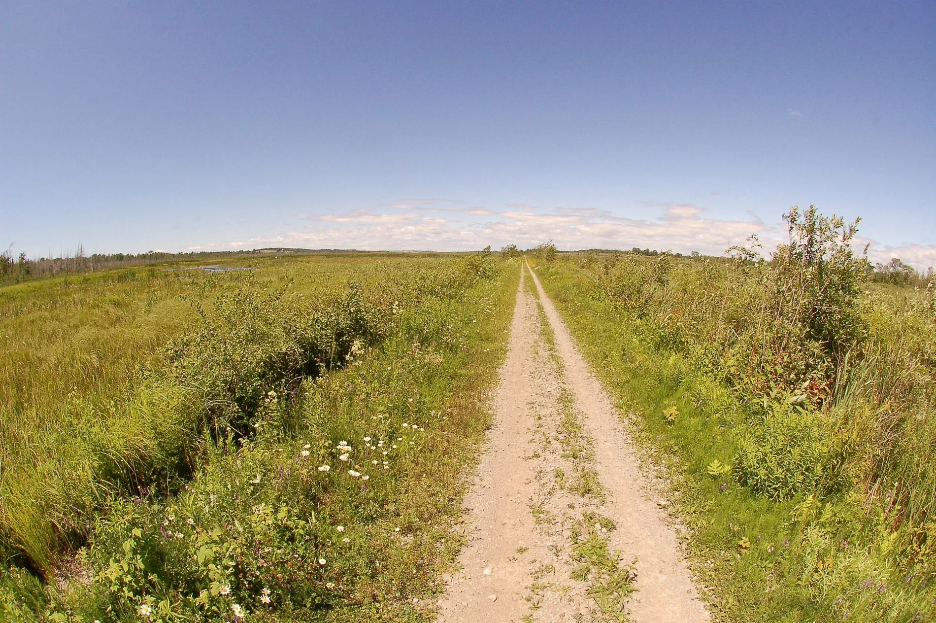
Scugog Line 14 in Scugog is a two-lane, unpaved minor road. No sidewalks. It crosses a bridge. It runs in an east-west direction and crosses Lake Ridge Road, Marsh Hill Road, Jacobsen Boulevard and Highway 7/12 and ends at Regional Road 6, while the other end is a cul-de-sac. This road is part of the long-distance road "14".
- Road Type
- minor road
- Lanes
- 2
- Route
- east-west
Image
Roads nearby
Blue Mountain Road1,8 km
Trans Canada Trail2,4 km
Scugog Line 12Marsh Hill
3,0 km
Trans-Canada Trail3,5 km
Brock Concession Road 2Carpet Hardwood Laminate
3,5 km
Jacobsen BoulevardTimms Garage
3,5 km
Brock-Scugog Townline Road3,7 km
Victoria Corners Road3,7 km
Acton Road3,7 km
Deerfoot Drive3,8 km
Sideroad 17Cedar Point Market Restaurant
3,9 km
Wagners Road4,0 km
Mooney Road4,1 km
Whitney Road4,2 km
Concession Road 84,2 km
Pilkey Road4,3 km
Bond Lane4,5 km
Mayfair Drive4,7 km
Regional Road 64,8 km
Mustard Road4,8 km
Hilda Avenue5,1 km
Mustard Street5,1 km
Lyons Lane5,1 km
Sandford RoadSandford
5,2 km
Brock RoadWilfred
5,4 km
Concession Road 35,5 km
Foster Drive5,5 km
Uxbridge Heights Road5,7 km
Pearl Drive5,8 km
Regional Road 136,0 km
O'Neil Road6,0 km
Marsh Hill RoadEpsom
6,1 km
Brock Concession Road 46,2 km
Lake Ridge RoadHappy Mart, Victoria Corners
6,2 km
Regional Road 1L. M. Montgomery
6,3 km
Davis Drive6,3 km
Regional Highway 476,3 km
Shops nearby
Gary Hill Auctions6,5 km
Boathouses nearby
DT marine4,8 km
Buildings nearby
DT power sports4,9 km
Cemeteries nearby
Foster Memorial Cemetery5,7 km
Farmyards nearby
Wheelbarrow Farm4,4 km
Huts nearby
Buckeye Firearms Training4,8 km
Parks nearby
Ilinden Macedonian Park4,5 km
Petrol stations nearby
Petro-City4,0 km
Places of worship nearby
Thomas Foster Memorial5,7 km
Streams nearby
Beaver River1,8 km
Uxbridge Brook5,1 km
Beaver Ruver5,3 km
Public transport map Scugog Legend
| Railway | |
| Bus | |
| Tram |
Cycling map Scugog Legend
| Cycle path | |
| Cycle lane on road | |
| Cycling on bus lane | |
| Bicycle street | |
| Cyclists allowed | |
| Cyclists allowed, good surface | |
| No cycling | |
| Cobblestones |
| Long-distance cycle route | (depending on scale) | |
| Long-distance cycle route |
Walking map Scugog Legend
| Path |
| Long-distance hiking trail | (depending on scale) | |
| Long-distance hiking trail | ||
| No pedestrians |