
Chrysalis Way in College, Nepean, Ontario
Chrysalis Way in Nepean is a two-lane, asphalted residential street. The road has sidewalks. It runs in a northeast-southwest direction starting from Plunkett Court and crosses Centrepointe Drive and ends at Meridian Place.
- Road Type
- residential street
- Lanes
- 2
- Route
- northeast-southwest
Image
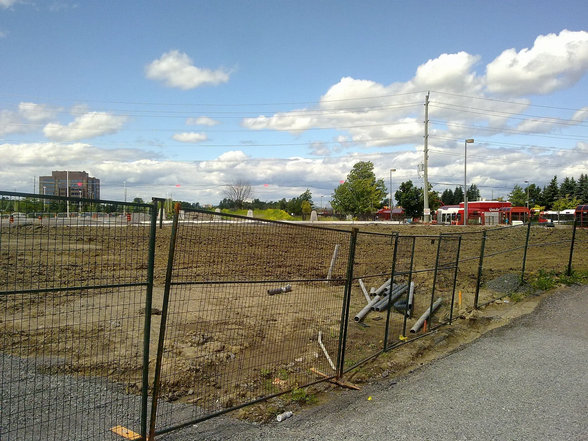
Roads nearby
Castlebrook Lane150 m
Pallister Private150 m
Dalkowski Private150 m
Meridian PlaceNepean Bell, Centrepointe Cafe & Deli
150 m
Avenshire Gate200 m
Mattamy Place200 m
Tallwood DriveTallwood / Woodroffe, Archive, Tallwood / Avenshire, Tallwood / Meridian
250 m
Paseo Private250 m
Kentsdale Drive250 m
Millrise Lane300 m
TransitwayQueensway, Baseline 2A, Baseline 1D, Baseline 1C, Baseline 1B, Baseline 2B, Baseline 1A, Baseline Off Stop, Communauto #51, Eagleson 2B, Communauto #65, Iris 2A, Electric Circuit DCFC
300 m
Arbordale Crescent350 m
David DriveCapital International Academy School
350 m
Woodroffe AvenueWoodroffe / David, Woodroffe / Iris, Woodroffe / Domalatchy, Woodroffe / Field, Woodroffe / Norice, Woodroffe / Highway 417, Woodroffe / Tallwood, Woodroffe / Baseline, Bank of Montreal, Chungchun, Woodroffe / Meadowlands, Highway 417 / Woodroffe, Woodroffe / Parkglen, Woodroffe / Adirondack
400 m
Mary Pitt Legacy Court400 m
Wrenwood Crescent450 m
Birchview Road450 m
Parkglen Drive450 m
Westpointe Crescent500 m
Adjidjàk PrivateAlgonquin College Early Learning Centre
600 m
Gardengate Way600 m
2nd Floor CorridorThe Fix, Algonquin, Portable Feast, Algonquin College Massage Clinic
650 m
Centrepointe DriveCentrepointe / Tallwood, Centrepointe / Abordale, Centrepointe / Castelton, Centrepointe / Cimarron, Centrepointe / Dalecroft, Centrepointe / Maple View, Centrepointe / Mapleview, Centrepointe / Marble Arch, Centrepointe / Pine Trail, Centrepointe / Stonebriar, Centrepointe / Summerwalk, Torah High Ottawa, The Royal Oak, RBC Royal Bank, Catchy Eyelash, Centrepointe Dental, EHearing, Centrepointe Laser Clinic, Filosofi Laser & Massage Clinic, Bayshore Home Health, PharmaChoice, Centrepointe / AD. 111, Centrepointe / Constellation, 8980-2469 Parking Pay Machine, Nepean, Livewell Family Health Centre, Hands On Health Massage Therapy, Centrepointe Medical Consultants, Centrepointe Orthodontics, Dr. Peter Derham, Centrepointe / Norwich
700 m
Navaho DriveNavaho / Baseline, Canada Post, Navaho / Agincourt, Navaho / Albany, Navaho / Erindale, Navaho / Woodside, Navaho / Laxton, Navaho / Sherman, Navaho / Iris
700 m
Constellation Drive9225-2470 Parking Pay Machine, 9223-2437 Parking Pay Machine, 9220-2220 Parking Pay Machine, Tim Hortons, Ontario Court of Justice, Constellation / Gemini, Happy Goat Coffee Co., The Smile Doctors, Best Cut, FlavaDaddy, Parking Payment Machine
750 m
Apartment buildings nearby
Centerpointe Apartments150 m
Elm and Pine Houses200 m
Bungalows200 m
Maple and Willow Houses250 m
Beauty salons nearby
Woodroffe Health & Beauty Spa400 m
Colleges nearby
Algonquin Centre for Construction Excellence600 m
Commercial buildings nearby
Thales100 m
Commerce Court100 m
Mary Pitt Centre500 m
Constructions nearby
Stage 2 LRT - Algonquin Station400 m
Parks nearby
Tallwood Park200 m
Ben Franklin Place300 m
Nepean Heritage Walk350 m
Residential areas nearby
Plunkett Court150 m
Pallister Court200 m
C.C.C. 606450 m
Social facilities nearby
Crystal View Lodge100 m
The Meridian150 m
Peter D Clark Long Term Care Home200 m
Sports pitches nearby
Field 4350 m
Ball Diamond - Softball East400 m
Legacy Skateboard Park400 m
Field 3450 m
Town halls nearby
Ben Franklin Place Client Service Centre300 m
 Public transport map College Legend
| Railway | |
| Bus | |
| Tram |
 Cycling map College Legend
| Cycle path | |
| Cycle lane on road | |
| Cycling on bus lane | |
| Bicycle street | |
| Cyclists allowed | |
| Cyclists allowed, good surface | |
| No cycling | |
| Cobblestones |
| Long-distance cycle route | (depending on scale) | |
| Long-distance cycle route |
 Walking map College Legend
| Path |
| Long-distance hiking trail | (depending on scale) | |
| Long-distance hiking trail | ||
| No pedestrians |