
Wàbisheshì Private in College, Nepean, Ontario
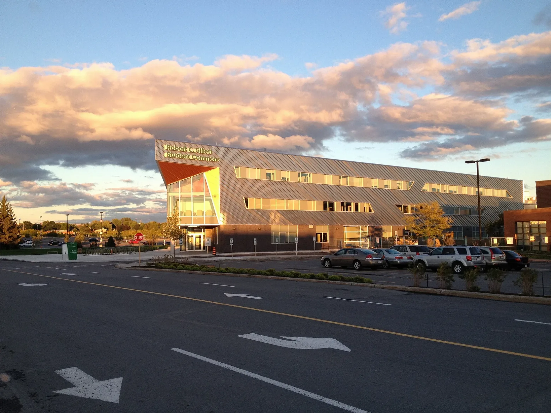
Wàbisheshì Private in Nepean is a two-lane, asphalted minor road. The road has a sidewalk. It crosses Wajashk Private and ends at Adjidjàk Private and comes from Navaho Drive. In the vicinity, there is a theatre. The nearest bus stop in the vicinity is Navaho / Baseline (approx. 400 m away).
- Road Type
- minor road
- Lanes
- 2
Image
Theatres
Roads nearby
Withrow AvenueRyan Farm, City View, Book Market, Be U Lounge, Community Coop Preschool
250 m
Navaho DriveNavaho / Baseline, Canada Post, Navaho / Agincourt, Navaho / Albany, Navaho / Erindale, Navaho / Woodside, Navaho / Laxton, Navaho / Sherman, Navaho / Iris
300 m
Deerfield Drive300 m
Suffolk Street350 m
Elmbank Crescent400 m
Baseline RoadBaseline / Navaho, Baseline / Q.C.H., Baseline / Deer Field, Baseline / Ferguson, Baseline / Rockway, Baseline Dental, Living Music Studios, DAC Medical Vision, Larry's Defensive Driving School, Dr. H. Duong, The Redeemed Christian Church of God, Jana Fox Facials, Dr. Shelly Jordon Clinical Psychologist, Dr. Lily Wong Family Dentistry, Dr. K.A. Beauchamp Optometry, Dr. Selwyn X. De Souza, Dr. A Malik, Universal Driving School, Baseline / Bassano, Baseline / St Helen's, Baseline / Pender, Baseline / Cordova, AZ Wireless, Pierre's Barber Shop, Jenkins Hardwood Flooring, Hi-Tech Mobile Repairs, The Perfect Cut, Circle K, Baseline / Highgate, Baseline / Guthrie, Baseline / Monterey, Baseline / Greenbank, Baseline / Cedarview, Baseline / Valley Stream, Baseline / AD. 2347, Baseline / Southwood, Baseline / Clyde, Tim Hortons, Big Joe's Convenience, Milano Pizzeria, Platinum Tattoos, Silverstar Automotive, Baseline / Robertson, Baseline / Sioux, Baseline / AD. 2323, Baseline / Sandcastle, Baseline / Mcwatters, Pharma City Drugstore, Baseline / Centrepointe, Baseline / Cobden
500 m
Indian Road500 m
Lentini Way500 m
Rossland Avenue550 m
Gage Crescent600 m
Côte-des-Neiges Road650 m
Gilbert Avenue650 m
Tower Road650 m
Epworth Avenue650 m
St. Claire AvenueThe Comic Book Shoppe, M&M Food Market, Shuyi Tealicious, The ODDs&SODs, Ashbrook Collectibles, Dutch Groceries & Giftware, Suite Thirteen Hair Design, Dr. Valerie Archibald Family Dentistry
650 m
Ferguson Street650 m
Rita Avenue650 m
Starwood RoadLocal Heroes, Dream Spa, Artistic Cake Design, Ottawa Sewing Centre, CWG Footcare, Clyde Dental Centre, Treasures Anew Consignment, Merivale Ideal Pharmacy
700 m
Cordova Street700 m
Chippewa AvenueOttawa Sports Medicine Centre, Merivale Cardiovascular Consultants, Merivale Medical Imaging, Oxford Learning
700 m
Albany Drive750 m
Granton AvenueSt Claire Gardens
750 m
Ainsley Drive800 m
Lotta AvenueRe-Source, Bake Boutique
850 m
Bassano Street850 m
Apartment buildings nearby
The Aventura350 m
The Maples500 m
Meadowbrook Place500 m
Buildings nearby
Z Building300 m
Cafés nearby
Tim Hortons300 m
Colleges nearby
S Building150 m
G Building150 m
F Building250 m
V Building300 m
Commercial areas nearby
School50 m
Convenience stores nearby
Circle K500 m
Fast food restaurants nearby
Subway300 m
Pizza Pizza300 m
McDonald's400 m
Parks nearby
Ryan Farm Park300 m
Ainsley Park900 m
Places of worship nearby
St. Matthew Romanian Orthodox Church600 m
Public buildings nearby
Rental Centre400 m
Residential areas nearby
Navaho Apartments450 m
Baseline Court500 m
Social facilities nearby
Extendicare Starwood400 m
Sports centres nearby
Jack Doyle Athletics and Recreation Centre200 m
Algonquin College Dome350 m
Sports pitches nearby
Ball Diamond900 m
Public transport map College Legend
| Railway | |
| Bus | |
| Tram |
Cycling map College Legend
| Cycle path | |
| Cycle lane on road | |
| Cycling on bus lane | |
| Bicycle street | |
| Cyclists allowed | |
| Cyclists allowed, good surface | |
| No cycling | |
| Cobblestones |
| Long-distance cycle route | (depending on scale) | |
| Long-distance cycle route |
Walking map College Legend
| Path |
| Long-distance hiking trail | (depending on scale) | |
| Long-distance hiking trail | ||
| No pedestrians |