
Wajashk Private in College, Nepean, Ontario
Wajashk Private in Nepean is a four-lane, asphalted minor road. The road has a sidewalk. It runs in a northeast-southwest direction and crosses Nigig Private, Navaho Drive and Wàbisheshì Private. It ends in a cul-de-sac. In the vicinity, you can find among other things 2 restaurants and a fast food restaurant. The nearest stop is Navaho / Algonquin College Residence. The bus line 88 stops here.
- Road Type
- minor road
- Lanes
- 4
- Route
- northeast-southwest
Image
Restaurants
Roads nearby
1st Floor CorridorAlgonquin College Salon, Spa & Boutique, Tim Hortons, Algonquin College Library, Algonquin Health Services, First Cup
250 m
Nigig PrivateAlgonquin College / College, Connections, the Campus Store, Marketplace Food Court, Luigi’s Pizza & Pastas, Kelly’s Grill, Taste of Asia, It’s a Wrap, Print Stop, The Observatory
300 m
Wàbisheshì PrivateAlgonquin Commons Theatre
300 m
2nd Floor CorridorPortable Feast, Algonquin College Massage Clinic, The Fix, Algonquin
300 m
Adjidjàk PrivateAlgonquin College Early Learning Centre
400 m
Parkglen Court450 m
Andover Place550 m
Bratislava Court550 m
Birchview Road650 m
DIY stores nearby
The Home Depot200 m
Cannabis shops nearby
one plant100 m
Clothing shops nearby
Reitmans200 m
Carter's OshKosh300 m
Colleges nearby
F Building100 m
Phillip Killeen Hospitality Centre100 m
Algonquin College150 m
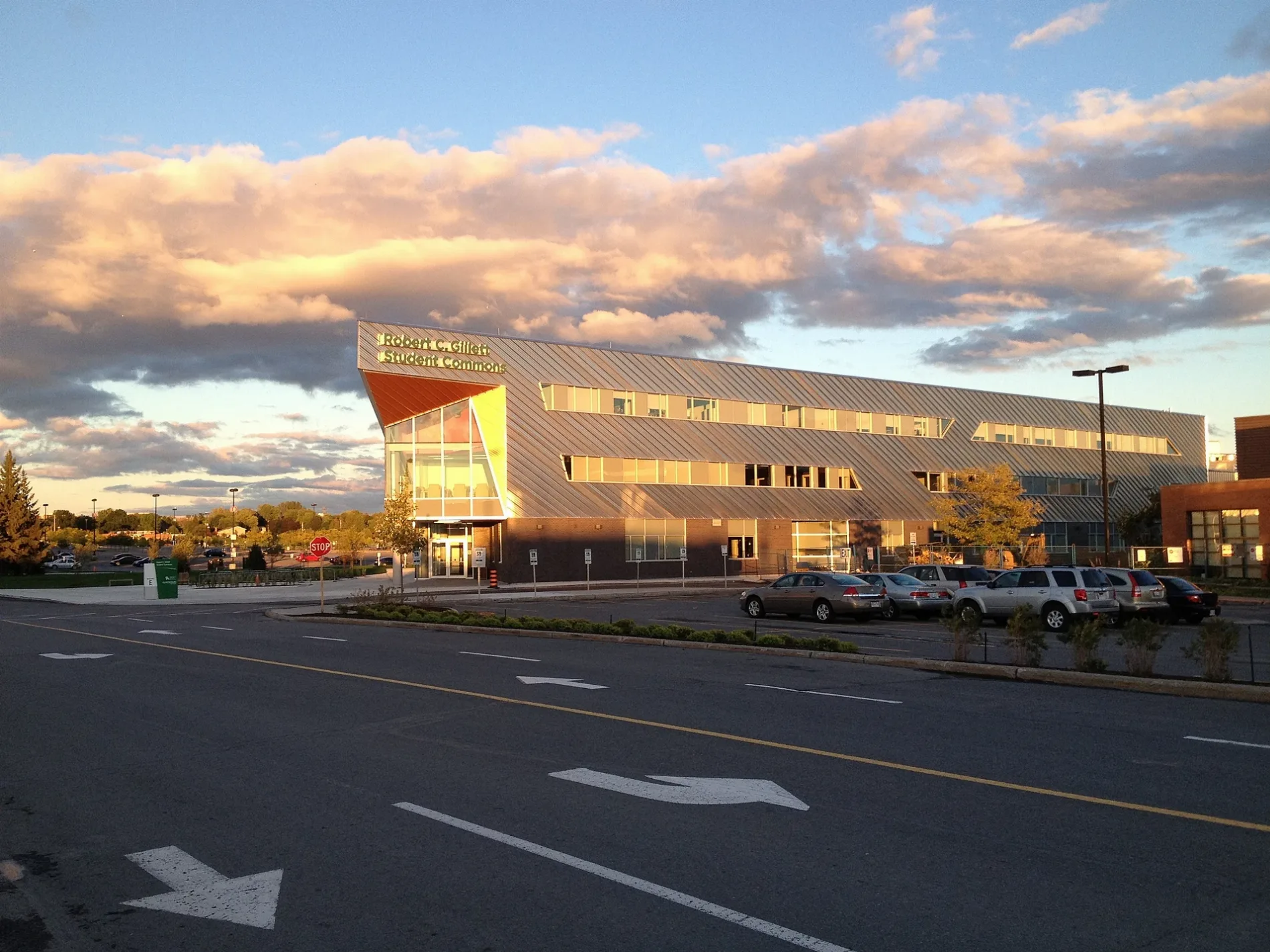
E Building (Robert C. Gillett Student Commons)150 m
D Building200 m
G Building200 m
N Building250 m
J Building250 m
C Building250 m
T Building250 m
K Building350 m
B Building350 m
M Building450 m
Algonquin Centre for Construction Excellence450 m
Commercial areas nearby
School300 m
Fast food restaurants nearby
Osmow's150 m
Mucho Burrito200 m
Kettleman's Bagel Co.200 m
Popeyes250 m
Gardens nearby
Algonquin College Horticulture Gardens400 m
Hairdresser's nearby
Chatters150 m
Jeweller's nearby
Spence Diamonds250 m
Off-licences nearby
LCBO150 m
Parks nearby
Ishkodewan Courtyard300 m
Ryan Farm Park400 m
Patisseries nearby
Crumbl Cookies350 m
Pet shops nearby
Pet Valu150 m
Pharmacies nearby
Rexall150 m
Restaurants nearby
Chances R Restaurant150 m
Retail areas nearby
College Square150 m
Shoe shops nearby
Sports 4250 m
Ottawa Orthopedic Centre300 m
Sports centres nearby
Jack Doyle Athletics and Recreation Centre150 m
Sports pitches nearby
Ball Diamond450 m
Supermarkets nearby
Loblaws250 m
Variety stores nearby
Dollarama100 m
 Public transport map College Legend
| Railway | |
| Bus | |
| Tram |
 Cycling map College Legend
| Cycle path | |
| Cycle lane on road | |
| Cycling on bus lane | |
| Bicycle street | |
| Cyclists allowed | |
| Cyclists allowed, good surface | |
| No cycling | |
| Cobblestones |
| Long-distance cycle route | (depending on scale) | |
| Long-distance cycle route |
 Walking map College Legend
| Path |
| Long-distance hiking trail | (depending on scale) | |
| Long-distance hiking trail | ||
| No pedestrians |