
Linnsmore Crescent in Danforth, Toronto, Ontario
Linnsmore Crescent in Toronto, Danforth is a two-lane, asphalted residential street (30 km/h). There is no cycle path. It runs in a north-south direction and crosses Milverton Boulevard, Glebeholme Boulevard, Wolverleigh Boulevard, Strathmore Boulevard and Greenwood Bus Loop. It ends in a cul-de-sac. In the vicinity, you can find among other things a pub, a convenience store and a restaurant. The nearest stop in the vicinity is Greenwood (approx. 300 m away).
- Road Type
- residential street
- Lanes
- 2
- Speed Limit
- 30
- Route
- north-south
Image
Roads nearby
Glebeholme BoulevardEarl Beatty Community Centre
150 m
Wolverleigh Boulevard200 m
Queensdale AvenueLe Petit Chaperon Rouge
200 m
Greenwood AvenueGreenwood Secondary School, North of Brooklyn
250 m
Oakdene Crescent250 m
Springdale Boulevard250 m
Sammon AvenueTrue M & A Variety, Global, Woodbine Auto Sales & Repair, Woodmount Variety, Sammon Grocery, Puwan Convenience Store, Cosburn Auto, Rumball Drug Mart, Mamma's Pizza, Treehouse
300 m
Linsmore CrescentCosburn Smoke & Gift, Karlovo European Meats & Deli
300 m
Strathmore BoulevardGreenwood, Coxwell, Strathmore Boulevard, Woodbine Subway Station, Woodbine / Strathmore Northwest Corner, Donlands, Metamorphosis Child Care Centre, Donlands Subway Station
300 m
Kimbourne Avenue300 m
Leroy Avenue350 m
Greenwood Bus LoopGreenwood, Greenwood Station
350 m
Milverton BoulevardThe Corner Shop
350 m
Monarch Park Avenue350 m
Caithness AvenueDanforth Karate Academy
450 m
Ladysmith AvenueMasjid Mosque
500 m
Inwood Avenue500 m
Bonnie Brae Boulevard500 m
Mortimer AvenueWoodbine Avenue, Family Bakery Cafe, East side stop - Coxwell Avenue (Michael Garron Hospital), Mortimer Ave / Coxwell Ave, Knight Street, Coxwell Avenue (Michael Garron Hospital), West side stop - Coxwell Avenue (Michael Garron Hospital), Glebemount Avenue, Woodmount Avenue, Dunkirk Road, Roosevelt Road, Lee's Variety, Bestway Cleaners, Pape Avenue, Mortimer Avenue, Everything Store, K.C. Caribbean Take-Out, Woodycrest Avenue, Dewhurst Boulevard, Donlands Avenue, Inwood Avenue, Greenwood Avenue, Linsmore Crescent
500 m
Parkmount RoadPharmaChoice
550 m
Coxwell AvenueGlebehome Boulevard, Danforth Avenue, Dr. Schenik, Royalty Cleaners, Cannabis Hut
550 m
Roosevelt Road550 m
Craven RoadUdupi Palace, Neelam Silk, The Bar-Be-Que Hut, Tiny Town, Maya's Market & Convenience
550 m
Chatham AvenueChatham Ave / Byron Ave
600 m
Azzarello Lane600 m
Felstead Avenue Park Trail600 m
Durant Avenue600 m
Mountjoy Avenuefamily mini mart, Bike Share Toronto
650 m
Byron Avenue650 m
Danforth AvenueChampions on the Danforth, Danforth Community Church, Madina Halal Pizza, Laundromat On the Danforth, Drug Basics Pharmacy, North American Islamic Fashions, Smell & Smile, New Al-Madina, Mumtaz Groceries, Kabsa Mandi Restaurant, The Burger Bros, World Ways Travel, Makkah Restaurant, Muzda Bakery, Danforth Pizza House, Nurtured Beginnings, Riverdale Animal Hospital, Danforth Family Dentistry, Freedom Mobile, Masellis Supermarket, Fortuna Clearance & Binz Store, Wardrobe for Men, Galata, Strategy Games, Mail Box Plus, Oasis, Shisha Marquise, Secret Planet, El Rincon Guerrerense, Absports, MH Liquidation, Greenwood Avenue, Danforth Central Walk-In Clinic & Pharmacy, Danforth Variety, Moonlight Pub, Money Mart, LCBO, Wing Machine, Danforth Medical Pharmacy, Comprehensive Treatment Clinic, Rails and Ales, Trull Funeral Home & Cremation Centre, Danforth Auto Tech, The Florist's Loft, Donlands Avenue, Navito World, Indo Canada Bakery, The Only Cafe, The One in the Only, City Fried Chicken & Pizza, Mavlana Hairdressing, Lashar Rugs, The Only Backpacker's Inn, Danforth Milk Store, Jones Avenue, Cash for Gold, Amplifon, Abyssinia, Danforth Dragon Restaurant, Empire Wireless, Stop Variety, Circus Books & Music, Kawartha Dairy, Sammi
650 m
Mountnoel Avenue650 m
Chan Lane650 m
Lamb AvenueDanforth Ave / Lamb Ave, 69 Vape Shop
650 m
Oakvale Avenue700 m
Oakvale Path700 m
Gillard AvenueBooster Juice
750 m
Mountalan Avenue750 m
Apartment buildings nearby
Trudelle Court Apartments550 m
Buildings nearby
Century Schoolhouse500 m
Constructions nearby
Greenwood Elevator Construction300 m
Fire stations nearby
Toronto Fire Station #323700 m
Parks nearby
Felstead Park650 m
Places of worship nearby
Greenwood Gospel Chapel250 m
Holy Trinity Macedono-Bulgarian Eastern Orthodox Church300 m
Playgrounds nearby
Felstead Avenue Playground600 m
Railway stations nearby
Greenwood350 m
Residential areas nearby
Greenwood Towers400 m
Retail buildings nearby
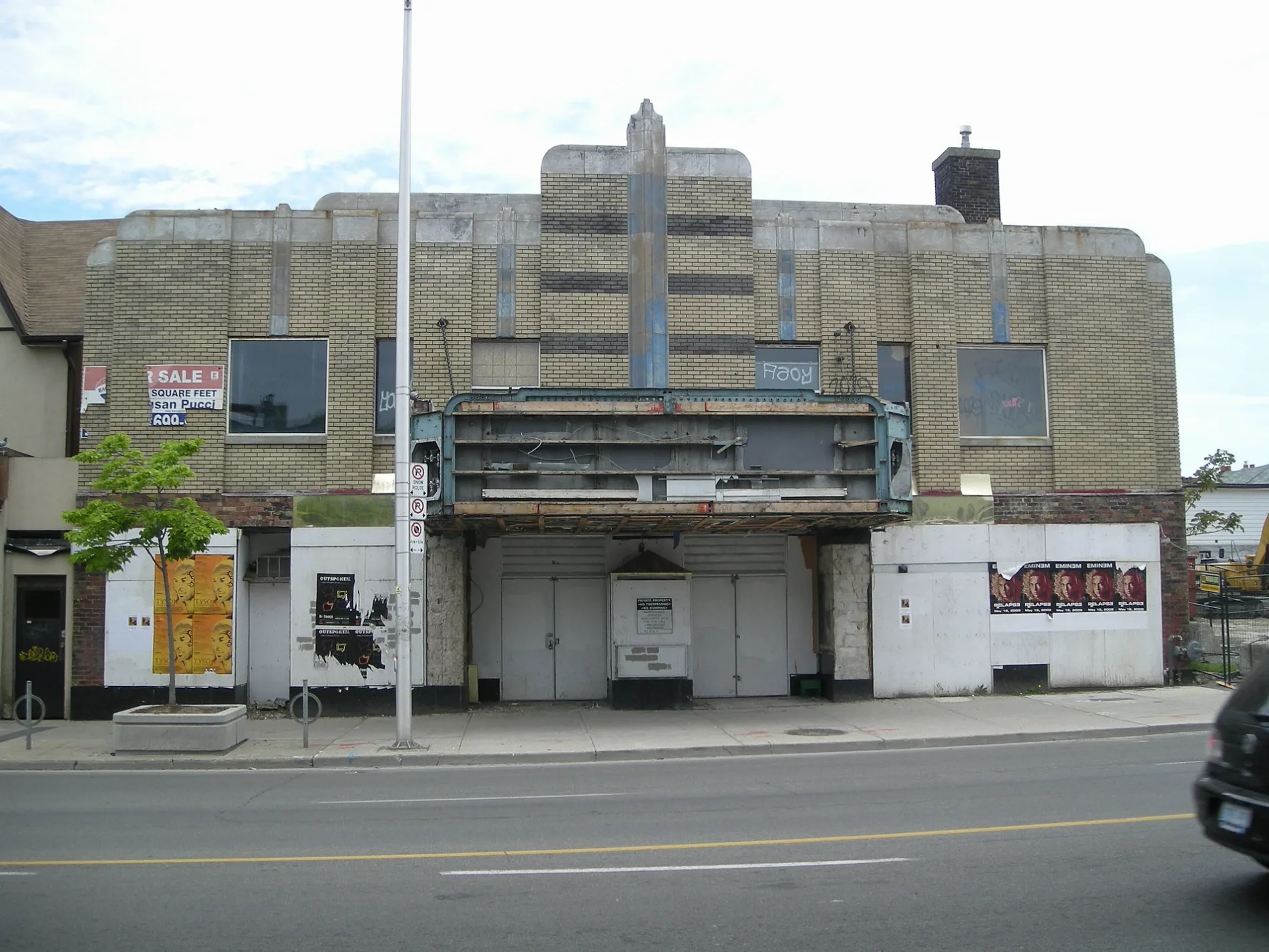
Allenby Theatre450 m
School buildings nearby
École secondaire Michelle-O'Bonsawin550 m
 Public transport map Danforth Legend
| Railway | |
| Bus | |
| Tram |
 Cycling map Danforth Legend
| Cycle path | |
| Cycle lane on road | |
| Cycling on bus lane | |
| Bicycle street | |
| Cyclists allowed | |
| Cyclists allowed, good surface | |
| No cycling | |
| Cobblestones |
| Long-distance cycle route | (depending on scale) | |
| Long-distance cycle route |
 Walking map Danforth Legend
| Path |
| Long-distance hiking trail | (depending on scale) | |
| Long-distance hiking trail | ||
| No pedestrians |