
Mountnoel Avenue in Greenwood-Coxwell, Toronto, Ontario
Mountnoel Avenue in Toronto, Greenwood-Coxwell is a two-lane, asphalted residential street (30 km/h). It runs in an east-west direction starting from Greenwood Avenue and ends in a cul-de-sac.
- Road Type
- residential street
- Lanes
- 2
- Speed Limit
- 30
- Route
- east-west
Image
Bicycle hires
Fast food restaurants
E-cigarette shops
Car repair shops
Greengrocers
Bus stops
Places of worship
Clinic
Restaurants
Wine shops
Convenience stores
Cafés
Petrol stations
Mobile phone shops
Cheese shops
Clothing shops
Roads nearby
Mountalan Avenue100 m
Chatham AvenueChatham Ave / Byron Ave
150 m
Felstead AvenueFelstead Ave/Gillard Ave (Monarch Park)
200 m
Felstead Avenue Park Trail200 m
Ladysmith AvenueMasjid Mosque
200 m
Oakvale Path200 m
Greenwood AvenueDanforth Avenue, Dang Smoke BBQ, Queen Street East, Gerrard Street East, Ivy Avenue, Greenwood Ave / Gerrard St E, Dundas Street East, Dorothy Street, Kerr Road, Athletic Avenue, Mountnoel Avenue, Felstead Avenue, Torbrick Road
200 m
Lamb AvenueDanforth Ave / Lamb Ave, 69 Vape Shop
250 m
Quarry Court300 m
Pocket Trail300 m
Lydia Court350 m
Greenwood Bus LoopGreenwood, Greenwood Station
350 m
Caithness AvenueDanforth Karate Academy
350 m
Oakvale Avenue350 m
Byron Avenue350 m
Gillard AvenueBooster Juice
350 m
Linnsmore CrescentLinsmore Tavern, A&E Variety, Maple Cafe, Linnsmore Crescent
350 m
Phin Avenue400 m
Torbrick Road400 m
Monarch Park Crossing400 m
Lount Street400 m
Strathmore BoulevardGreenwood, Coxwell, Strathmore Boulevard, Woodbine Subway Station, Woodbine / Strathmore Northwest Corner, Donlands, Metamorphosis Child Care Centre, Donlands Subway Station
400 m
Sandstone Lane450 m
Oakdene Crescent450 m
Monarch Park AvenuePâtisserie La Cigogne
450 m
Mountjoy Avenuefamily mini mart, Bike Share Toronto
450 m
Valifor Place450 m
Wolverleigh Boulevard500 m
Glebeholme BoulevardEarl Beatty Community Centre
550 m
Parkmount RoadPharmaChoice
550 m
Craven RoadUdupi Palace, Neelam Silk, The Bar-Be-Que Hut, Tiny Town, Maya's Market & Convenience
600 m
Railways nearby
Greenwood Yard200 m
Apartment buildings nearby
Trudelle Court Apartments250 m
Buildings nearby
Greenwood Complex200 m
Constructions nearby
Greenwood Elevator Construction400 m
Dog parks nearby
The Pocket300 m
Fire stations nearby
Toronto Fire Station #323300 m
Parks nearby
Felstead Park150 m
Oakvale Green300 m
Pavilions nearby
Monarch Park Pool Building500 m
Playgrounds nearby
Felstead Avenue Playground150 m
Railway stations nearby
Greenwood400 m
Residential areas nearby
Unity Road300 m
Greenwood Towers350 m
Retail buildings nearby
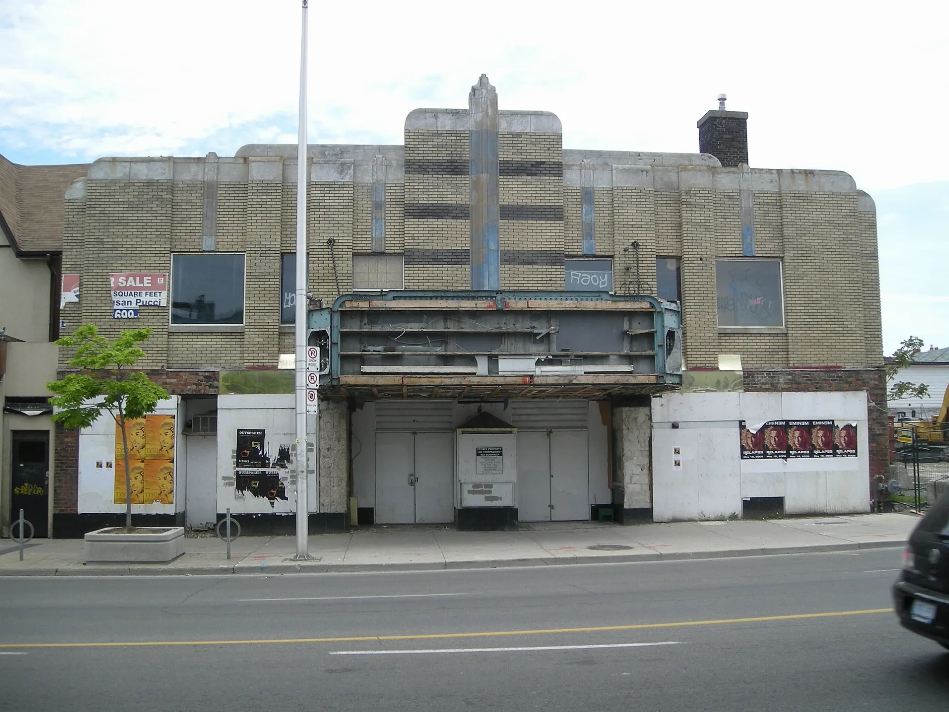
Allenby Theatre250 m
School buildings nearby
École secondaire Michelle-O'Bonsawin150 m
Subway lines nearby
Bloor-Danforth Line400 m
Swimming pools nearby
Monarch Park Wading Pool500 m
Monarch Park Swimming Pool550 m
Public transport map Greenwood-Coxwell Legend
| Railway | |
| Bus | |
| Tram |
Cycling map Greenwood-Coxwell Legend
| Cycle path | |
| Cycle lane on road | |
| Cycling on bus lane | |
| Bicycle street | |
| Cyclists allowed | |
| Cyclists allowed, good surface | |
| No cycling | |
| Cobblestones |
| Long-distance cycle route | (depending on scale) | |
| Long-distance cycle route |
Walking map Greenwood-Coxwell Legend
| Path |
| Long-distance hiking trail | (depending on scale) | |
| Long-distance hiking trail | ||
| No pedestrians |