
Mountalan Avenue in Greenwood-Coxwell, Toronto, Ontario
Mountalan Avenue in Toronto, Greenwood-Coxwell is a two-lane, asphalted residential street (30 km/h). It runs in an east-west direction starting from Greenwood Avenue and ends in a cul-de-sac.
- Road Type
- residential street
- Lanes
- 2
- Speed Limit
- 30
- Route
- east-west
Image
Convenience stores
Petrol stations
Mobile phone shops
Car repair shops
Clothing shops
Bus stops
Fast food restaurants
E-cigarette shops
Cheese shops
Bicycle hires
Cafés
Places of worship
Clinic
Restaurants
Wine shops
Roads nearby
Mountnoel Avenue100 m
Felstead AvenueFelstead Ave/Gillard Ave (Monarch Park)
100 m
Oakvale Path250 m
Felstead Avenue Park Trail250 m
Quarry Court250 m
Chatham AvenueChatham Ave / Byron Ave
250 m
Lamb AvenueDanforth Ave / Lamb Ave, 69 Vape Shop
250 m
Ladysmith AvenueMasjid Mosque
300 m
Greenwood AvenueDanforth Avenue, Dang Smoke BBQ, Queen Street East, Gerrard Street East, Ivy Avenue, Greenwood Ave / Gerrard St E, Dundas Street East, Dorothy Street, Kerr Road, Athletic Avenue, Mountnoel Avenue, Felstead Avenue, Torbrick Road
300 m
Pocket Trail300 m
Torbrick Road300 m
Lount Street350 m
Lydia Court350 m
Gillard AvenueBooster Juice
350 m
Sandstone Lane350 m
Oakvale Avenue350 m
Monarch Park Crossing400 m
Valifor Place400 m
Phin Avenue400 m
Caithness AvenueDanforth Karate Academy
400 m
Byron Avenue400 m
Greenwood Bus LoopGreenwood, Greenwood Station
450 m
Linnsmore CrescentLinsmore Tavern, A&E Variety, Maple Cafe, Linnsmore Crescent
450 m
Monarch Park AvenuePâtisserie La Cigogne
450 m
Mountjoy Avenuefamily mini mart, Bike Share Toronto
500 m
Strathmore BoulevardGreenwood, Coxwell, Strathmore Boulevard, Woodbine Subway Station, Woodbine / Strathmore Northwest Corner, Donlands, Metamorphosis Child Care Centre, Donlands Subway Station
500 m
Oakdene Crescent550 m
Wolverleigh Boulevard550 m
Parkmount RoadPharmaChoice
600 m
Glebeholme BoulevardEarl Beatty Community Centre
650 m
Craven RoadUdupi Palace, Neelam Silk, The Bar-Be-Que Hut, Tiny Town, Maya's Market & Convenience
650 m
Railways nearby
Greenwood Yard200 m
Apartment buildings nearby
Trudelle Court Apartments300 m
Buildings nearby
Greenwood Complex150 m
Constructions nearby
Greenwood Elevator Construction450 m
Dog parks nearby
The Pocket300 m
Fire stations nearby
Toronto Fire Station #323300 m
Parks nearby
Felstead Park150 m
Oakvale Green300 m
Pavilions nearby
Monarch Park Pool Building450 m
Playgrounds nearby
Felstead Avenue Playground200 m
Railway stations nearby
Greenwood450 m
Residential areas nearby
Unity Road200 m
Greenwood Towers450 m
Retail buildings nearby
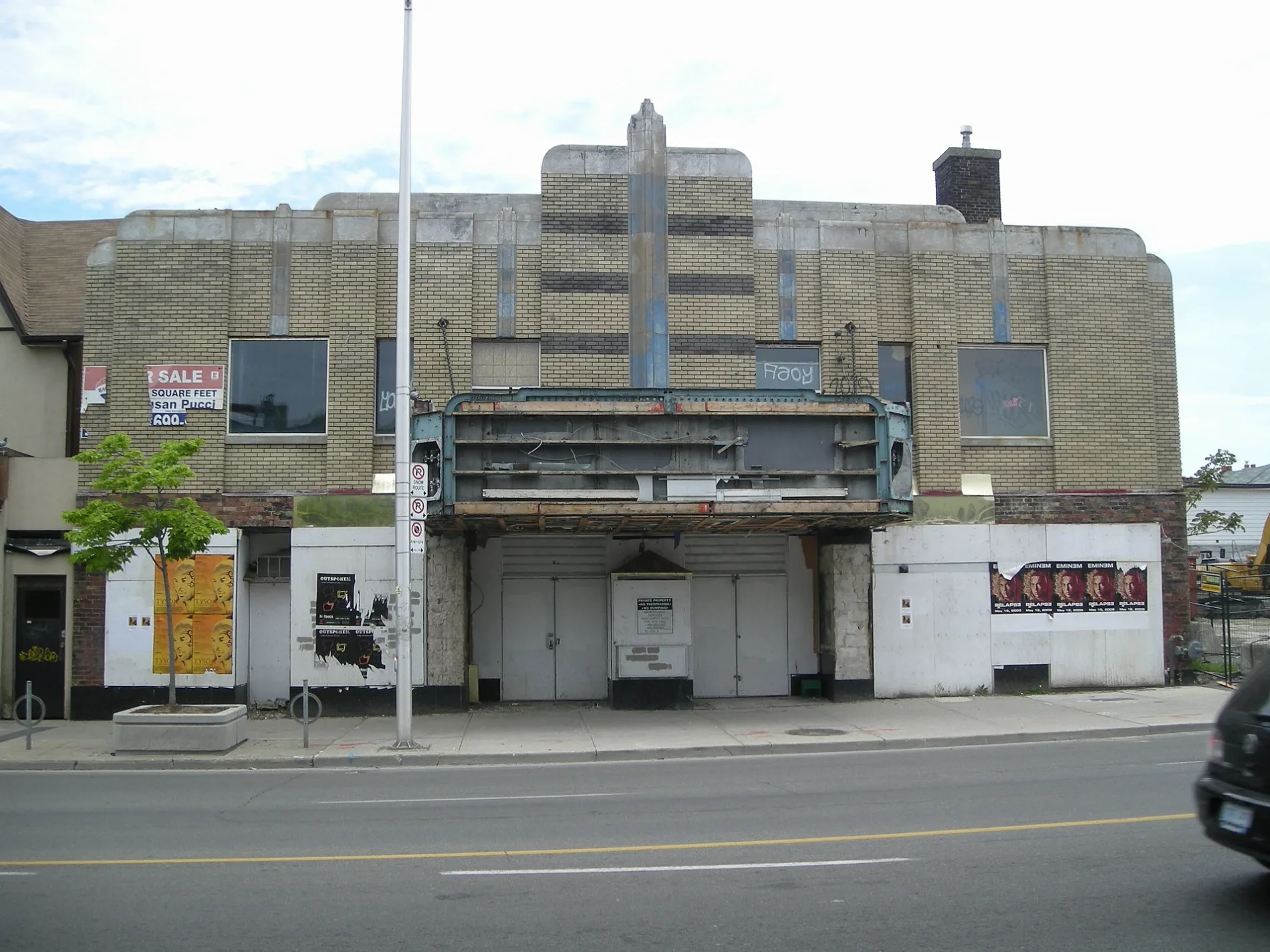
Allenby Theatre300 m
School buildings nearby
École secondaire Michelle-O'Bonsawin250 m
Subway lines nearby
Bloor-Danforth Line500 m
Swimming pools nearby
Monarch Park Wading Pool450 m
Monarch Park Swimming Pool500 m
Public transport map Greenwood-Coxwell Legend
| Railway | |
| Bus | |
| Tram |
Cycling map Greenwood-Coxwell Legend
| Cycle path | |
| Cycle lane on road | |
| Cycling on bus lane | |
| Bicycle street | |
| Cyclists allowed | |
| Cyclists allowed, good surface | |
| No cycling | |
| Cobblestones |
| Long-distance cycle route | (depending on scale) | |
| Long-distance cycle route |
Walking map Greenwood-Coxwell Legend
| Path |
| Long-distance hiking trail | (depending on scale) | |
| Long-distance hiking trail | ||
| No pedestrians |