
Badlands Trail in Caledon, Ontario
Badlands Trail in Caledon is a footpath and is a footbridge and runs in an east-west direction. In the vicinity, you can find 4 tourist information offices.
- Road Type
- footpath
- Route
- east-west
Image
Tourist information offices
Roads nearby
Bruce TrailCheltenham Badlands, Mono Mills
450 m
Budak Trail1,5 km
Old Pavilion Road1,5 km
Copperhead Road1,6 km
Red Clay Road1,6 km
Caledon TrailwayAgostino's Fine Foods, Trans Canada Trail
1,6 km
Strollers Lane1,6 km
Bruce Trail - Caledon Hills section1,7 km
Ferndale Park Road1,7 km
Boston Mills RoadBoston Mills, Claude
1,7 km
Chinguacousy RoadFerndale
1,8 km
Credit Road1,8 km
Kennedy RoadKennedy Rd n/of Mayfield Rd, Kennedy Rd opp Snellview Blvd, Kennedy Rd n/of Snellview Blvd, True Word Apostolic Church, Silver Creek, Southfields Village Library, Kennedy Rd n/of Dougall Ave, Caledon #1 Convenience, Butterfly Kids Spa Parties n' more, Drapery House, Kennedy Rd n/of Stowmarket St, Kennedy Rd s/of Twistleston St, Kennedy Rd s/of Abbotside Way, Kennedy Rd opp Abbotside Way, Kennedy Rd s/of Larson Peak Rd
1,9 km
Inglenook Court2,1 km
MacDonald StreetVillage Montessori School, Inglewood, Canada Post
2,2 km
Trout River Court2,2 km
Kaufman Road2,2 km
Louise Street2,4 km
Victoria Street2,4 km
McLaughlin RoadCaledon Public Library - Inglewood Branch, Inglewood United Church, Caledon Hills Cycling and Nordic Cenre, Body Perks, Coywolf Coffee, Sligo
2,4 km
Balmer Heights Drive2,5 km
McKenzie Street2,5 km
Lorne Street2,6 km
Lyonsview Lane2,6 km
Field Crest Road2,6 km
Olde Baseline RoadRockside, 6ixty Wings, Kilmanagh, Mono Road
2,6 km
Mississauga RoadThe Grange
2,7 km
West Village Drive2,7 km
Maple Avenue2,7 km
East Village Drive2,8 km
Creditview RoadCheltenham Baptist Chruch, Town of Caledon Fire & Emergency Services Station 304, Cheltenham, Cheltenham General Store
2,9 km
North Riverdale Drive2,9 km
Station Road3,0 km
Mill StreetRiverside Grill
3,2 km
John Street3,3 km
McColl Drive3,3 km
Bakeries nearby
Spirit Tree Estate Cidery1,8 km
Bare rocks nearby
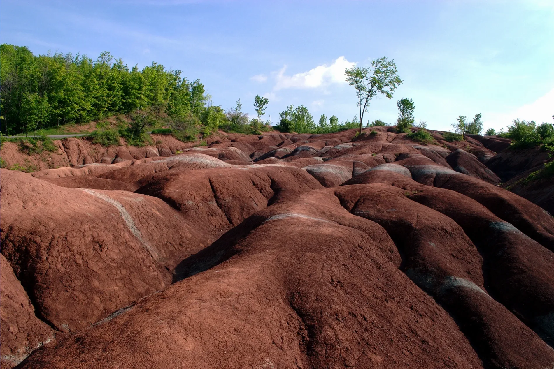
Badlands400 m
Cemeteries nearby
Boston-Mills Cemetery1,4 km
Community centres nearby
Lloyd Wilson Centennial Arena2,6 km
Inglewood Community Centre2,9 km
Constructions nearby
Upper Credit River Estates2,3 km
Disused railways nearby
OBRY Owen Sound Subdivision1,8 km
Fire stations nearby
Inglewood Station #52,5 km
Golf courses nearby
Caledon Golf and Country Club1,8 km
Nature reserves nearby
Cheltenham Badlands300 m
Parks nearby
Inglewood Park2,6 km
Recreation grounds nearby
Inglewood Tennis Club2,9 km
Rivers nearby
Credit River3,0 km
Public transport map Caledon Legend
| Railway | |
| Bus | |
| Tram |
Cycling map Caledon Legend
| Cycle path | |
| Cycle lane on road | |
| Cycling on bus lane | |
| Bicycle street | |
| Cyclists allowed | |
| Cyclists allowed, good surface | |
| No cycling | |
| Cobblestones |
| Long-distance cycle route | (depending on scale) | |
| Long-distance cycle route |
Walking map Caledon Legend
| Path |
| Long-distance hiking trail | (depending on scale) | |
| Long-distance hiking trail | ||
| No pedestrians |