
Sussex Street in Brighton and Hove
Sussex Street in Brighton and Hove is a residential street. It runs in an east-west direction starting from John Street and crosses Elmore Road, Tarner Road, St John's Place, Windmill Street, Carlton Place and Stanley Street and ends at Queen's Park Road. Sussex Street also exists in City of Leicester.
- Road Type
- residential street
- Speed Limit
- 20 mph
- Route
- east-west
Image
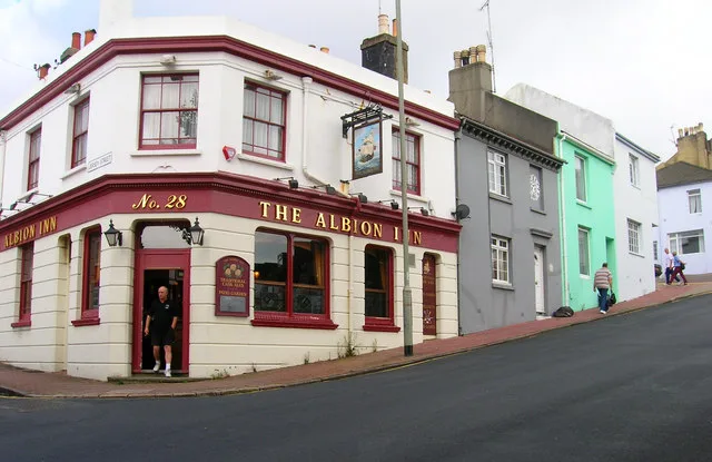
Roads nearby
Windmill Street50 m
Carlton Place50 m
Lennox StreetLennox Street (Zone C)
100 m
Queen's Park RoadPepper Pot, Egremont Gate, Albion Hill, Pepperpot, Queen's Park Junction, The Hanover, Starfish & Coffee, Butler's Wine Cellar, Baxter Street
150 m
Park Road Terrace150 m
Tarner Road150 m
St John's PlaceThe Book Nook
150 m
Marine View150 m
Park Hill200 m
Tilbury Way200 m
Upper Park Place200 m
Thames Close200 m
Stanley Street200 m
Queens ParkOpen Bakery, Queen's Park
200 m
Elmore Road200 m
Richmond Street250 m
Windmill Terrace250 m
West DriveWest Drive (Zone C)
250 m
Scotland Street300 m
South AvenueSouth Avenue (Zone C)
300 m
Leicester StreetThe Wood Store
300 m
Chate's Farm Court300 m
Holland Street300 m
Quebec StreetHugh Barlow-Brown Guitars
300 m
Albion HillThe Independent, Wild Cherry
350 m
Toronto TerraceHaus On The Hill
350 m
Montreal Road400 m
Park View400 m
Southampton StreetThe Constant Service
400 m
Grove Street400 m
Finsbury Road450 m
Southover StreetThe Geese, Sir Charles Napier, Dover Castle, China Star, Guyatri News
450 m
Amenities nearby
Orchard Day Nursery250 m
Allotment gardens nearby
Chates Farm Allotments250 m
Apartment buildings nearby
Crown Hill400 m
Buildings nearby
Egremont Gate200 m
Quebec Workshops300 m
The Drinking Fountain350 m
Queens Park Villa400 m
Cafés nearby
Queens Park Cafe250 m
Houses nearby
Brighton Home250 m
Fixo350 m
Southover Wines400 m
Somerset House450 m
Laundries nearby
Soapbox350 m
Parks nearby
Queen's Park250 m
Places of worship nearby
Park Hill Evangelical Church200 m
Pubs nearby
The Setting Sun50 m
Residential areas nearby
BN2 0BN350 m
Public transport map Brighton and Hove Legend
| Railway | |
| Bus | |
| Tram |
Cycling map Brighton and Hove Legend
| Cycle path | |
| Cycle lane on road | |
| Cycling on bus lane | |
| Bicycle street | |
| Cyclists allowed | |
| Cyclists allowed, good surface | |
| No cycling | |
| Cobblestones |
| Long-distance cycle route | (depending on scale) | |
| Long-distance cycle route |
Walking map Brighton and Hove Legend
| Path |
| Long-distance hiking trail | (depending on scale) | |
| Long-distance hiking trail | ||
| No pedestrians |