
Upper Park Place in Brighton and Hove
Upper Park Place in Brighton and Hove is an asphalted residential street. It runs in a northeast-southwest direction starting from Queen's Park Road and ends at Carlton Hill.
- Road Type
- residential street
- Speed Limit
- 20 mph
- Route
- northeast-southwest
Image
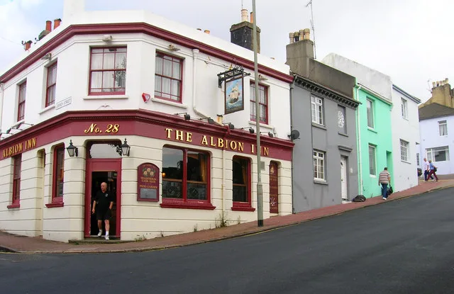
Roads nearby
Park Road Terrace100 m
Marine View100 m
Park Hill100 m
Thames Close100 m
Lennox StreetLennox Street (Zone C)
150 m
Leicester StreetThe Wood Store
150 m
Carlton Place150 m
Queens ParkOpen Bakery, Queen's Park
150 m
St John's PlaceThe Book Nook
150 m
Sussex Street200 m
Windmill Street200 m
South AvenueSouth Avenue (Zone C)
250 m
Queen's Park RoadPepper Pot, Egremont Gate, Albion Hill, Pepperpot, Queen's Park Junction, The Hanover, Starfish & Coffee, Butler's Wine Cellar, Baxter Street
250 m
Tarner Road300 m
West DriveWest Drive (Zone C)
350 m
Stanley Street350 m
Tilbury Way350 m
Elmore Road400 m
Windmill Terrace400 m
Richmond Street400 m
Scotland Street450 m
Toronto TerraceHaus On The Hill
450 m
Quebec StreetHugh Barlow-Brown Guitars
450 m
Chate's Farm Court450 m
Holland Street500 m
Park View500 m
Albion HillThe Independent, Wild Cherry
500 m
Montreal Road500 m
Southampton StreetThe Constant Service
550 m
Grove Street550 m
Finsbury Road600 m
Southover StreetThe Geese, Sir Charles Napier, Dover Castle, China Star, Guyatri News
600 m
Amenities nearby
Orchard Day Nursery350 m
Allotment gardens nearby
Chates Farm Allotments400 m
Apartment buildings nearby
Crown Hill550 m
Buildings nearby
Egremont Gate100 m
The Drinking Fountain400 m
Quebec Workshops450 m
Queens Park Villa500 m
Cafés nearby
Queens Park Cafe250 m
Houses nearby
Brighton Home100 m
Fixo500 m
Somerset House550 m
Southover Wines550 m
Laundries nearby
Soapbox500 m
Parks nearby
Queen's Park200 m
Places of worship nearby
Park Hill Evangelical Church100 m
Pubs nearby
The Setting Sun200 m
Residential areas nearby
BN2 0BN250 m
 Public transport map Brighton and Hove Legend
| Railway | |
| Bus | |
| Tram |
 Cycling map Brighton and Hove Legend
| Cycle path | |
| Cycle lane on road | |
| Cycling on bus lane | |
| Bicycle street | |
| Cyclists allowed | |
| Cyclists allowed, good surface | |
| No cycling | |
| Cobblestones |
| Long-distance cycle route | (depending on scale) | |
| Long-distance cycle route |
 Walking map Brighton and Hove Legend
| Path |
| Long-distance hiking trail | (depending on scale) | |
| Long-distance hiking trail | ||
| No pedestrians |