
Lewis Way in London Borough of Barking and Dagenham
Lewis Way in London Borough of Barking and Dagenham is a residential street and it ends at Blackborne Road. Lewis Way also exists in Herefordshire, Cheshire East, Shropshire, Essex and Leicestershire.
- Road Type
- residential street
Image
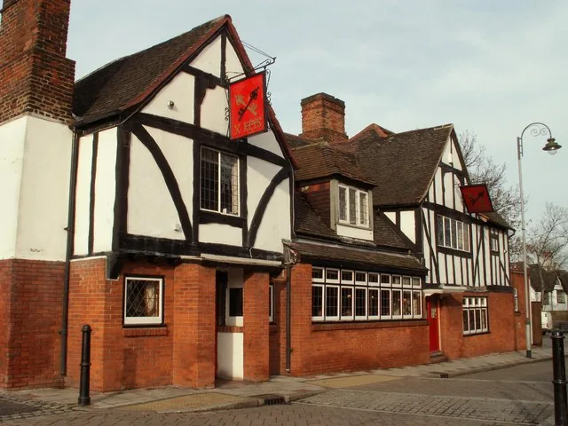
Post offices
Post boxes
Bus stops
Roads nearby
Exeter Road100 m
Coopers Close100 m
Buttfield Close150 m
Dewey RoadHigh Road Post Office
150 m
Radleys Mead200 m
Honey Close200 m
Blackborne Road200 m
Richardson Gardens250 m
Charlotte Road250 m
Salisbury Road250 m
Pavet Close250 m
Plumtree Close300 m
Royal Parade300 m
Church Street300 m
Rodwll Place350 m
Glebe Road350 m
Crown Street350 m
John Parker Close400 m
St Giles Avenue400 m
St Giles Close400 m
Church Lane400 m
Siviter WaySt Giles Avenue
450 m
Hollidge Way500 m
Wilthorne Gardens550 m
Brook Avenue550 m
Amenities nearby
Dagenham Conservative Club200 m
Leisure nearby
Dagenham Trades Hall250 m
Bookmakers nearby
William Claridge Ltd300 m
Buildings nearby
Oldmead House100 m
Dagenham Parish Hall300 m
Bartletts House400 m
Thaxted House500 m
Cafés nearby
Pietro's Cafe350 m
Clinics nearby
Church Elm Lane Health Centre300 m
Commercial areas nearby
Essex Hand Car Wash350 m
Petronne House350 m
Convenience stores nearby
Krishna's Village Stores300 m
Dagenham Food Centre350 m
Fast food restaurants nearby
Chunky300 m
Golden Dragon300 m
Gah Moon House300 m
Pizza GoGo350 m
Orient350 m
Hospital nearby
Grays Court Community Hospital350 m
Places of worship nearby
Dagenham Community Church200 m
Pubs nearby
The Cross Keys350 m
Sports centres nearby
Pavillion550 m
Tracks nearby
BMX Track600 m
Village greens nearby
Dagenham Village Green350 m
Public transport map London Borough of Barking and Dagenham Legend
| Railway | |
| Bus | |
| Tram |
Cycling map London Borough of Barking and Dagenham Legend
| Cycle path | |
| Cycle lane on road | |
| Cycling on bus lane | |
| Bicycle street | |
| Cyclists allowed | |
| Cyclists allowed, good surface | |
| No cycling | |
| Cobblestones |
| Long-distance cycle route | (depending on scale) | |
| Long-distance cycle route |
Walking map London Borough of Barking and Dagenham Legend
| Path |
| Long-distance hiking trail | (depending on scale) | |
| Long-distance hiking trail | ||
| No pedestrians |