
Francis Road in London Borough of Ealing
Francis Road in London Borough of Ealing is a residential street and it runs in a north-south direction starting from Fraser Road and ends at Sarsfield Road. Francis Road also exists in London Borough of Sutton, London Borough of Haringey, London Borough of Hounslow, London Borough of Croydon and London Borough of Waltham Forest.
- Road Type
- residential street
- Speed Limit
- 20 mph
- Route
- north-south
Image
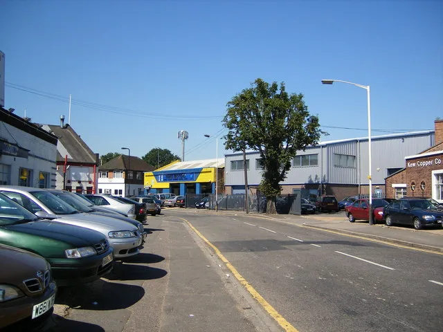
Doctor's office
Stations
Library
Bus stops
Roads nearby
Sarsfield Road100 m
Aintree Road250 m
Bilton RoadHillview Surgery, Aintree Road, Brooklands Drive, Jubilee Road, Lee Road, Perivale Community Centre, Bilton Road Post Office, The Lunch Box
250 m
Walmgate Road250 m
Wadsworth Road300 m
Fraser Road300 m
Lynmouth Road350 m
Torrington Road350 m
Federal Road350 m
Wadsworth Close400 m
George V Way400 m
Launceston Road400 m
Bethlehem Close450 m
Fairfield Drive450 m
Jordan Road450 m
Lee Road500 m
Brooklands Drive550 m
Perimeade Road550 m
Pleasant Way550 m
Primrose Way600 m
Woodrow Close600 m
Torrington Gardens600 m
Lynmouth Gardens600 m
Brindley Close600 m
Devon Close600 m
Launceston Gardens650 m
Empire Road650 m
Eden Close700 m
Clifford Road750 m
Grand Union Canal (Paddington Arm) towpathBallot Box Bridge
750 m
Burnside Crescent750 m
Manor Farm RoadManor Farm Road
900 m
Bridgehill Close900 m
Bridgewater RoadClifford Road, Alperton Station, Alexander Cromwell College, Simply Beds, Colyton Close
900 m
Allotment gardens nearby
Jubilee Road allotments400 m
Clifford Road Allotments700 m
Buildings nearby
Wadsworth Business Centre250 m
Children's Centre300 m
Busy Bee Builders Merchants700 m
Chapel800 m
Abercorn Commercial Centre850 m
Office900 m
Cemeteries nearby
Alperton Cemetery900 m
Industrial areas nearby
Fleetway West250 m
Phoenix Trading Estate600 m
Manor House Business Park650 m
Places of worship nearby
St. Mary with St. Nicholas - Perivale400 m
Subway lines nearby
Piccadilly Line (Uxbridge Branch)950 m
Warehouses nearby
Vanguard Filebank Ltd550 m
Public transport map London Borough of Ealing Legend
| Railway | |
| Bus | |
| Tram |
Cycling map London Borough of Ealing Legend
| Cycle path | |
| Cycle lane on road | |
| Cycling on bus lane | |
| Bicycle street | |
| Cyclists allowed | |
| Cyclists allowed, good surface | |
| No cycling | |
| Cobblestones |
| Long-distance cycle route | (depending on scale) | |
| Long-distance cycle route |
Walking map London Borough of Ealing Legend
| Path |
| Long-distance hiking trail | (depending on scale) | |
| Long-distance hiking trail | ||
| No pedestrians |