
Park View in Liskeard
Park View in Kernow / Cornwall, Liskeard is a residential street. It runs in a north-south direction starting from Pengover Road and crosses Valletta Gardens and Park Road and ends at Castle Gardens. In the vicinity, you can find a fast food restaurant and a convenience store. The nearest bus stop in the vicinity is Addington (approx. 100 m away). Park View also exists in St. Mewan.
- Road Type
- residential street
- Speed Limit
- 20 mph
- Route
- north-south
Image
Roads nearby
Valletta Gardens100 m
The Griffins100 m
Dark Lane100 m
Park Road100 m
Pengover Park150 m
Addington North150 m
Pengover Close200 m
Pengover House200 m
Strathmore250 m
Dobsons Close250 m
Samuel Bone Close250 m
Callington RoadBP, Miners Meadow
250 m
Pengover RoadPengover Road, Addington
300 m
Miners Way300 m
Miners Meadow300 m
Killigrew Road300 m
Dungarth Green300 m
Rapson Road350 m
Dungarth Road350 m
Courtney Road350 m
Pendragon Road400 m
Poldhu Road400 m
Eddystone Rise400 m
Caunter Road400 m
Spurway Road400 m
Eastern Avenue450 m
Cardinnis Green450 m
Hanson Road450 m
Tregartha Way450 m
Bodgara Way450 m
Treverbyn450 m
Dennis Road450 m
Pengover Heights450 m
Lake Lane500 m
Yeomans Close500 m
Passmore Close500 m
BriarwoodBriarwood
550 m
St Martins School550 m
Plymouth RoadFairlight, Plymouth Road, Island Shop
600 m
Amenities nearby
Laity House150 m
1st Liskeard Scout HQ300 m
Allotment gardens nearby
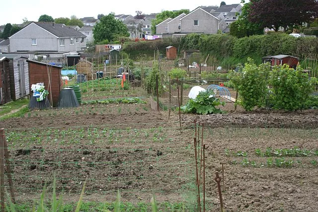
Pengover Allotments300 m
Buildings nearby
Ivey Terrace200 m
Tremeadow Terrace200 m
Belgrave TerraceMiners Meadow
250 m
Blakes Park250 m
South View350 m
Recreation grounds nearby
Castle Park300 m
Retail areas nearby
Addington Service Station250 m
Public transport map Liskeard Legend
| Railway | |
| Bus | |
| Tram |
Cycling map Liskeard Legend
| Cycle path | |
| Cycle lane on road | |
| Cycling on bus lane | |
| Bicycle street | |
| Cyclists allowed | |
| Cyclists allowed, good surface | |
| No cycling | |
| Cobblestones |
| Long-distance cycle route | (depending on scale) | |
| Long-distance cycle route |
Walking map Liskeard Legend
| Path |
| Long-distance hiking trail | (depending on scale) | |
| Long-distance hiking trail | ||
| No pedestrians |