
Higher Street in Merriott
Higher Street in Somerset, Merriott is a residential street. It crosses Townsend Orchard and Shiremoor Hill and ends at Church Street and comes from Boozer Pit. This road is part of the bicycle route "South Somerset Cycleway" and the hiking trail "River Parrett Trail". Higher Street also exists in East Quantoxhead, Curry Mallet, Norton sub Hamdon and West and Middle Chinnock.
- Road Type
- residential street
- Speed Limit
- 30 mph
Image
Roads nearby
Townsend Orchard150 m
Church StreetThe Kings Head
200 m
Shiremoor Hill250 m
Monkhouse Lane300 m
Evergreen Path500 m
Osborne Place500 m
Speke Close550 m
Sandy Hole600 m
The Piece600 m
Gough Close650 m
Greys Road650 m
HitchenMerriott
650 m
Tail Mill650 m
Manor Drive650 m
Boozer Pit700 m
Brook Square700 m
Sherlands Gardens700 m
Lower StreetMerriott Phone Box Book Swap
700 m
Old Hitchen700 m
Farr's Orchard700 m
The Close750 m
Shyners Terrace750 m
Waterwheel Court750 m
Granary Barton Close800 m
Sherlands800 m
Glebelands800 m
Newchester Cross850 m
Tail Mill Lane850 m
Broadway850 m
Court Mill Lane850 m
Higher Beadon900 m
Beadon Lane900 m
Knapp900 m
Lower Beadon950 m
Merriott RoadPye Corner
1,2 km
Old Farm Close1,2 km
Eggwood Lane1,2 km
Scotts WayBow Bridge
1,3 km
Moorlands Road1,3 km
Niddon's Lane1,5 km
Bull Bridge1,6 km
Little Loppen Lane1,6 km
Community centres nearby
Merriott Village Hall900 m
Farmyards nearby
Bow Barn Farm1,4 km
Petrol stations nearby
Texaco800 m
Places of worship nearby
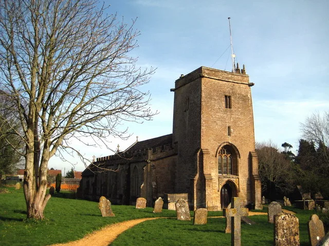
All Saints400 m
Post offices nearby
Merriott Post Office800 m
Recreation grounds nearby
Vaux Park Polo Club1,7 km
Streams nearby
Lopen Brook1,5 km
 Public transport map Merriott Legend
| Railway | |
| Bus | |
| Tram |
 Cycling map Merriott Legend
| Cycle path | |
| Cycle lane on road | |
| Cycling on bus lane | |
| Bicycle street | |
| Cyclists allowed | |
| Cyclists allowed, good surface | |
| No cycling | |
| Cobblestones |
| Long-distance cycle route | (depending on scale) | |
| Long-distance cycle route |
 Walking map Merriott Legend
| Path |
| Long-distance hiking trail | (depending on scale) | |
| Long-distance hiking trail | ||
| No pedestrians |