
Shiremoor Hill in Merriott
Shiremoor Hill in Somerset, Merriott is a residential street. It runs in a north-south direction starting from Higher Street and crosses Church Street and ends at Lower Street.
- Road Type
- residential street
- Speed Limit
- 30 mph
- Route
- north-south
Image
Roads nearby
Monkhouse Lane200 m
Church StreetThe Kings Head
250 m
Osborne Place300 m
Higher Street350 m
Townsend Orchard350 m
Tail Mill400 m
Speke Close400 m
Gough Close450 m
Brook Square450 m
Evergreen Path450 m
Manor Drive500 m
Greys Road500 m
Lower StreetMerriott Phone Box Book Swap
500 m
Waterwheel Court500 m
The Close550 m
Shyners Terrace550 m
HitchenMerriott
600 m
Tail Mill Lane600 m
The Piece600 m
Farr's Orchard600 m
Old Hitchen600 m
Sherlands Gardens650 m
Glebelands650 m
Court Mill Lane650 m
Sherlands700 m
Broadway750 m
Knapp750 m
Granary Barton Close750 m
Sandy Hole800 m
Boozer Pit800 m
Beadon Lane800 m
Newchester Cross800 m
Higher Beadon850 m
Lower Beadon850 m
Merriott RoadPye Corner
1000 m
Old Farm Close1000 m
Moorlands Road1,2 km
Scotts WayBow Bridge
1,3 km
Eggwood Lane1,4 km
Barn Lane1,6 km
Niddon's Lane1,7 km
Community centres nearby
Merriott Village Hall850 m
Farmyards nearby
Bow Barn Farm1,4 km
Marks Barn Farm1,7 km
Petrol stations nearby
Texaco750 m
Places of worship nearby
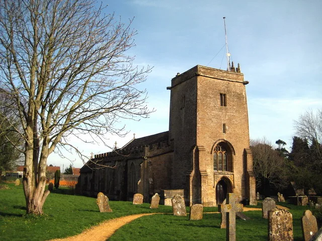
All Saints450 m
Post offices nearby
Merriott Post Office750 m
Rivers nearby
River Parrett1,7 km
Streams nearby
Lopen Brook1,7 km
 Public transport map Merriott Legend
| Railway | |
| Bus | |
| Tram |
 Cycling map Merriott Legend
| Cycle path | |
| Cycle lane on road | |
| Cycling on bus lane | |
| Bicycle street | |
| Cyclists allowed | |
| Cyclists allowed, good surface | |
| No cycling | |
| Cobblestones |
| Long-distance cycle route | (depending on scale) | |
| Long-distance cycle route |
 Walking map Merriott Legend
| Path |
| Long-distance hiking trail | (depending on scale) | |
| Long-distance hiking trail | ||
| No pedestrians |