
Harber Street in Stoke-on-Trent
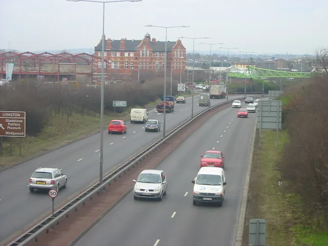
Harber Street in Stoke-on-Trent is an asphalted, lit minor road. It runs as a one-way street in a southwest-northeast direction starting from Uttoxeter Road and ends at Sutherland Road.
- Road Type
- minor road
- Speed Limit
- 30 mph
- Route
- northeast-southwest
Image
Gift shops
Variety stores
Supermarkets
Cafés
Doctor's office
Fabric shops
Bus stops
Hairdressers
Museum
- Gladstone Pottery Museum (fee required, web) – approx. 150 m.
Petrol stations
Frozen food shops
Car repair shops
Marketplaces
Pubs
Bank
Electronics shops
Chemist's
Mobile phone shops
Pharmacy
Fast food restaurants
Roads nearby
Landon Street50 m
Barlow Street100 m
Morpeth Street100 m
Beech Street150 m
Paragon Road150 m
Sutherland RoadBP, Congress Inn
150 m
Chelson Street200 m
Chadwick Street200 m
Short Street250 m
Sheaf Passage250 m
Railway Terrace250 m
Heath's Passage250 m
Barker Street250 m
Kendrick Street300 m
Royston Walk300 m
Stretton Close300 m
Whitegate Grove300 m
Goddard Street350 m
Bridgewood Street350 m
Bathurst Street350 m
Palmer Street350 m
Hackett Close400 m
Auden Place400 m
Park Hall Street400 m
Anchor Terrace400 m
Isherwood Place400 m
Anchor RoadImo Express Car Cleaning, Anchor Road Chippy, Mossfield Road, Bargain Booze, Abberley Greens
450 m
Loughborough Walk450 m
Brunel Walk450 m
Forrister Street450 m
Priestley Drive500 m
Upper Cross Street500 m
Goldsmith Place600 m
Sitwell Grove650 m
Merton Street650 m
Hemlock Road650 m
Car repair shops nearby
Body Shop UK200 m
Newman Motors200 m
Autokraft200 m
Industrial areas nearby
Lawton John250 m
Anchor Industrial Estate400 m
Industrial buildings nearby
Kettle & Talbot100 m
O.E.R Fireplaces100 m
Enson Works Bottle Kiln250 m
Sutherland Works Bottle Kiln250 m
Museum nearby
Gladstone Pottery Museum150 m
Places of worship nearby
St James the Less150 m
Longton Spiritualist Church200 m
Railway lines nearby
Crewe to Derby Line250 m
 Public transport map Stoke-on-Trent Legend
| Railway | |
| Bus | |
| Tram |
 Cycling map Stoke-on-Trent Legend
| Cycle path | |
| Cycle lane on road | |
| Cycling on bus lane | |
| Bicycle street | |
| Cyclists allowed | |
| Cyclists allowed, good surface | |
| No cycling | |
| Cobblestones |
| Long-distance cycle route | (depending on scale) | |
| Long-distance cycle route |
 Walking map Stoke-on-Trent Legend
| Path |
| Long-distance hiking trail | (depending on scale) | |
| Long-distance hiking trail | ||
| No pedestrians |