
Chelson Street in Stoke-on-Trent
Chelson Street in Stoke-on-Trent is a minor road. It runs in a northeast-southwest direction starting from Uttoxeter Road and ends at Normacot Road.
- Road Type
- minor road
- Route
- northeast-southwest
Image
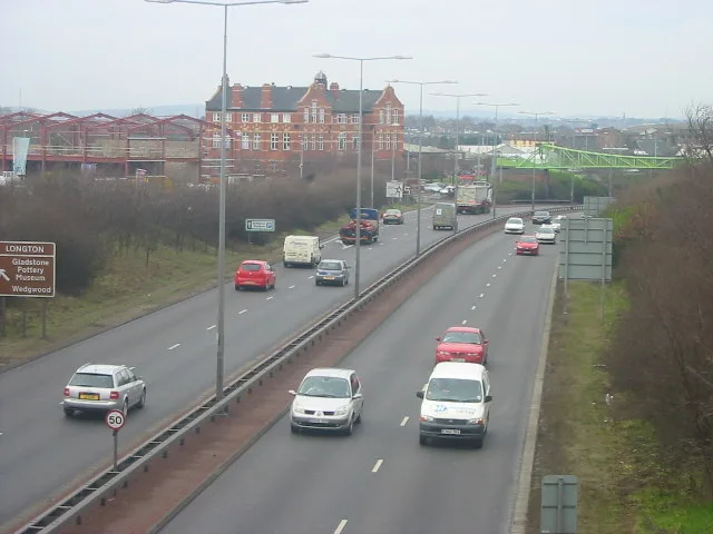
Car repair shops
Museum
- Gladstone Pottery Museum (fee required, web) – approx. 300 m.
Supermarkets
Doctor's office
Frozen food shops
Bank
Hairdressers
Fast food restaurants
Petrol stations
Pharmacy
Convenience stores
Mobile phone shops
Bus stops
Pubs
Electronics shops
Chemist's
Variety stores
Post offices
Cafés
Roads nearby
Short Street100 m
Heath's Passage100 m
Barlow Street100 m
Barker Street150 m
Warren StreetW.T Lighting
150 m
Morpeth Street150 m
Sutherland RoadBP, Congress Inn
150 m
Uttoxeter RoadGladstone Pottery Museum, Johnsons Autos, St James' Church, Blythe Bridge Bypass Roundabout, Meir Tunnel, Broadway, Rainbow, Summer Shades Salon, Londis
150 m
Harber Street200 m
Beaufort Road200 m
Sheaf Passage200 m
Paragon Road200 m
Webberley Lane200 m
Landon Street200 m
Malt Lane200 m
Beech Street250 m
Calverley Street300 m
Lockett's Lane300 m
Gower Street300 m
Lightwood Bridge300 m
Speerman Bridge300 m
Lloyd Street350 m
Spearman Street350 m
Rosslyn Road350 m
Low's Passage350 m
Tatton Street400 m
Basildon Grove450 m
Mandela Way450 m
Cromartie street550 m
Dunrobin Street550 m
Windsor Avenue550 m
Roxburghe avenue550 m
Lilleshall Street550 m
Lightwood RoadSoap Shine, Mr Tyre Longton, The Dunrobin
600 m
Brownfields nearby
Dunrobin Hotel400 m
Buildings nearby
Robust UK200 m
Car repair shops nearby
Newman Motors50 m
Autokraft100 m
Body Shop UK150 m
Industrial areas nearby
Lawton John100 m
Industrial buildings nearby
Enson Works Bottle Kiln100 m
Sutherland Works Bottle Kiln150 m
Kettle & Talbot150 m
O.E.R Fireplaces150 m
Museum nearby
Gladstone Pottery Museum250 m
Office buildings nearby
The Sutherland Institute350 m
Places of worship nearby
St James the Less50 m
Longton Spiritualist Church300 m
Bethel Church550 m
 Public transport map Stoke-on-Trent Legend
| Railway | |
| Bus | |
| Tram |
 Cycling map Stoke-on-Trent Legend
| Cycle path | |
| Cycle lane on road | |
| Cycling on bus lane | |
| Bicycle street | |
| Cyclists allowed | |
| Cyclists allowed, good surface | |
| No cycling | |
| Cobblestones |
| Long-distance cycle route | (depending on scale) | |
| Long-distance cycle route |
 Walking map Stoke-on-Trent Legend
| Path |
| Long-distance hiking trail | (depending on scale) | |
| Long-distance hiking trail | ||
| No pedestrians |