
Beaufort Road in Stoke-on-Trent
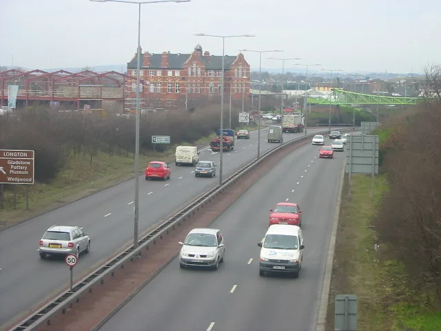
Beaufort Road in Stoke-on-Trent is a minor road. It runs in a southeast-northwest direction starting from Webberley Lane and ends at Warren Street. Beaufort Road also exists in Medway and City of Leicester.
- Road Type
- minor road
- Route
- southeast-northwest
Image
Pharmacy
Fast food restaurants
Supermarkets
Post offices
Restaurants
Hairdressers
Doctor's office
Electronics shops
Chemist's
Petrol stations
Variety stores
Bus stops
Pubs
Car repair shops
Museum
- Gladstone Pottery Museum (fee required, web) – approx. 350 m.
Convenience stores
Community centre
Roads nearby
Short Street150 m
Webberley Lane150 m
Sheaf Passage150 m
Heath's Passage150 m
Chelson Street200 m
Lloyd Street200 m
Lightwood Bridge200 m
Warren StreetW.T Lighting
200 m
Rosslyn Road200 m
Speerman Bridge200 m
Morpeth Street250 m
Lockett's Lane250 m
Tatton Street250 m
Barlow Street250 m
Uttoxeter RoadGladstone Pottery Museum, Johnsons Autos, St James' Church, Blythe Bridge Bypass Roundabout, Meir Tunnel, Broadway, Rainbow, Summer Shades Salon, Londis
250 m
Malt Lane250 m
Spearman Street250 m
Barker Street300 m
Harber Street300 m
Calverley Street300 m
Basildon Grove300 m
Landon Street300 m
Sutherland RoadBP, Congress Inn
300 m
Low's Passage350 m
Lower Spring RoadTam O'Shanter Inn
350 m
Paragon Road350 m
Mandela Way350 m
Sandgate Street350 m
Cromartie street400 m
Dunrobin Street400 m
Beech Street400 m
Lilleshall Street400 m
Wren View400 m
Roxburghe avenue450 m
Windsor Avenue450 m
Chaplin RoadNormacot Post Office, Cappers, Prime Express
500 m
Lightwood RoadSoap Shine, Mr Tyre Longton, The Dunrobin
500 m
Brownfields nearby
Dunrobin Hotel250 m
Buildings nearby
Robust UK300 m
Car repair shops nearby
Newman Motors200 m
Autokraft200 m
Body Shop UK300 m
Industrial areas nearby
Lawton John150 m
Industrial buildings nearby
Sutherland Works Bottle Kiln100 m
Enson Works Bottle Kiln100 m
O.E.R Fireplaces200 m
Kettle & Talbot250 m
Museum nearby
Gladstone Pottery Museum250 m
Places of worship nearby
St James the Less200 m
 Public transport map Stoke-on-Trent Legend
| Railway | |
| Bus | |
| Tram |
 Cycling map Stoke-on-Trent Legend
| Cycle path | |
| Cycle lane on road | |
| Cycling on bus lane | |
| Bicycle street | |
| Cyclists allowed | |
| Cyclists allowed, good surface | |
| No cycling | |
| Cobblestones |
| Long-distance cycle route | (depending on scale) | |
| Long-distance cycle route |
 Walking map Stoke-on-Trent Legend
| Path |
| Long-distance hiking trail | (depending on scale) | |
| Long-distance hiking trail | ||
| No pedestrians |