
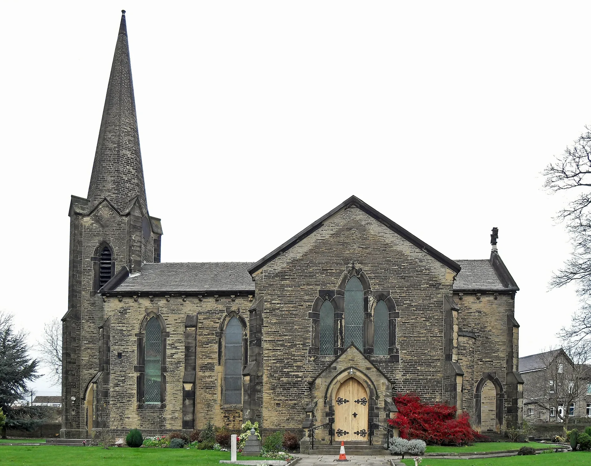
St Paul's church in City of Bradford
St Paul's church in Bradford is a Anglicana church. It is near Ivy Terrace and belongs to the Anglican Diocese of Leeds. The church is dedicated to Paul the Apostle and is a listed building. St Paul's church also exists in Kirklees and Calderdale.
- Amenity
- place of worship
- Building Type
- building
Image
Roads nearby
Prince's Street50 m
Alexander Street50 m
St. Paul's AvenueSt Pauls Avenue Wibsey, St Pauls Avenue Halifax Road
100 m
Albert StreetSpringfield Hotel
100 m
St. Paul's RoadMeridian Nursery
100 m
St. Paul's Grove150 m
Church Road150 m
Pothouse Road150 m
Littlefield Walk150 m
Croft House Road150 m
Church Lane150 m
Tordoff Green200 m
Vento Close200 m
Pot House Close200 m
Green End Road200 m
Bourbon CloseBourbon Close
200 m
Harbour RoadHarbour Road Reevy Drive, Harbour Road Wibsey Park Avenue, Harbour Road Harbour Crescent, Harbour Road Vernon Road
200 m
The Folly Hall Gardens250 m
Buttershaw Lane250 m
Folly Hall RoadFolly Hall Road High Street
250 m
Purley Walk250 m
Somerville Avenue300 m
Ivy Terrace300 m
Bowman Road300 m
Slack Bottom Road300 m
Bowman Avenue300 m
Brearcliffe Drive300 m
Harbour Crescent350 m
Halifax RoadHalifax Road Cemetery Road, Halifax Road St Pauls Avenue, Halifax Road Oxford Road, Halifax Road Mill Close Lane, Halifax Road Shibden Head Lane, Halifax Road Roper Lane, Halifax Road Windy Bank Lane, Halifax Road Brewery Lane, Halifax Road Crooked Lane, Halifax Road Swales Moor Road, The Omnibus, Catherine Slack, Halifax Road Alderson Street, Halifax Road Queen Street, Halifax Road Fleece Street, Halifax Road Beck Hill, Halifax Road Smith Avenue, Halifax Road Crawford Avenue, Halifax Road Sutcliffe Place, Halifax Road Hatton Close, Halifax Road Prospect Street, Halifax Road Fairfield Grove, Halifax Road Western Way, Barley Mow, Halifax Road Allandale Road
350 m
Somerville Park350 m
Brearcliffe Close350 m
Cover Drive350 m
Beresford Road400 m
Brearcliffe Grove400 m
Reevy RoadReevy Road Wibsey Park Avenue, Reevy Road Ormond Road, Reevy Road Green End Road
400 m
Brearcliffe Road450 m
Lynden Court500 m
Brearcliffe Street500 m
Allandale Avenue500 m
Eltham Grove500 m
Studley Avenue500 m
Raeburn Drive550 m
Allandale Road600 m
Royds Hall LaneRoyds Hall Lane Abb Scott Lane
650 m
Buildings nearby
St. Winefride's Presbytery150 m
St Winefride's church hall200 m
Houses nearby
Horsfall House600 m
Places of worship nearby
St Winefride's Catholic Church150 m
Sports pitches nearby
Harold Park/Bulmer & Lumb Crown Green Bowls Club700 m
| Dedicated to | Paul the Apostle |
|---|---|
| Diocese | Anglican Diocese of Leeds |
| Heritage designation | Grade II listed building |
| Located in | Bradford |
| Country | United Kingdom |
 Public transport map Bradford Legend
| Railway | |
| Bus | |
| Tram |
 Cycling map Bradford Legend
| Cycle path | |
| Cycle lane on road | |
| Cycling on bus lane | |
| Bicycle street | |
| Cyclists allowed | |
| Cyclists allowed, good surface | |
| No cycling | |
| Cobblestones |
| Long-distance cycle route | (depending on scale) | |
| Long-distance cycle route |
 Walking map Bradford Legend
| Path |
| Long-distance hiking trail | (depending on scale) | |
| Long-distance hiking trail | ||
| No pedestrians |